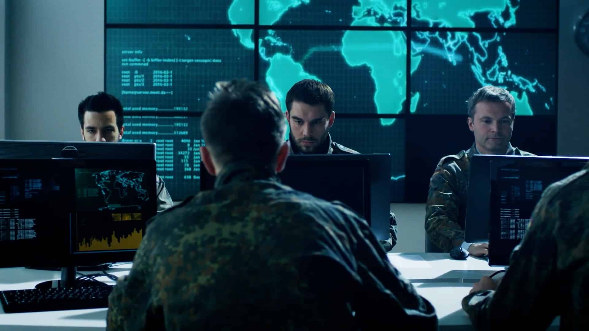
Tim Marshall’s latest book is titled ‘The Future of Geography: How Power and Politics in Space will Change Our World’. This comes at a crucial time when the world is witnessing increased use of satellite data, geospatial insights, real-time asset monitoring, and OSINT( open source intel) in conflicts.
With countries vying to raise space forces and deliberating upon military-space doctrines, space is not just the ‘final frontier’, but the ultimate determinant and arbiter of even terrestrial clashes and conflicts.
No country wants to be left behind in this race, and the confluence of geospatial intelligence and space will be a key matrix in defense in the coming years.
In this New Space Races or ‘races’, a lot of countries are vastly improving their geospatial capabilities and coverage of their navigational systems to prevent enemy jamming or denial of service.
Indo-Pacific Security
Gone are the days when GeoInt used to be a technical argot reserved for only defense personnel and combat veterans. With the exponential increase in its utility since the Ukraine conflict and the changing face of intelligence gathering, geospatial intelligence and situational awareness gets crucial for everyone.
It is embedded at the core of space, and together they have become key to envisioning safe and secure maritime navigation as well as advancing sustainability in South Asia and beyond.
What the term Indo-Pacific connotes, and for whom, is still not fully settled.
Even among alliance blocks, there are some policy divergences. However, what’s undoubtable is that with crucial shipping lanes and chokepoints such as the Strait of Malacca, and a large share of the world’s trade, commerce, as well as demography, it is a key strategic region.
This draws the need for an active consensus on ramping up technical collaboration, building mutually beneficial cooperation, nurturing value-based alliances, and frequent knowledge sharing to contain any nefarious design.
Changing Scenario
The increasing convergence of motley complexities and the nature of lightning-fast data and information exchange multiplies risks across domains. This calls for the need to design reliable PNT and fool-proof designing anti-jamming navigation systems.
While the world has recognized the importance of decoupling supply chains, localization, near-shoring, avoiding just-in-time inventories – all of which are extremely crucial for any war-footing preparation – there’s a need for creating more awareness about geospatial intelligence and how to make best use of it.
In the coming age of warfare, which would be hybrid, networked, and increasingly reliant on agile info exchange and deployment of advanced sensors and tech, it is crucial to stay vigilant and at the cutting edge of tech advances.
Combined space and GeoInt capabilities, or better put, ‘GeoInt Integration with space and marine assets for enhancing national security’, holds the key to the future.
Disclaimer: Views Expressed are Author's Own. Geospatial World May or May Not Endorse it