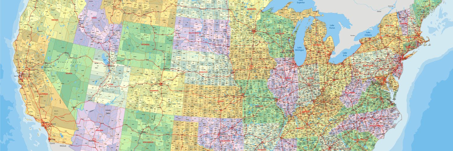
Election security is in the news with many races decided by the thinnest of margins; NSGIC offers GIS support to ensure accurate district assignments.
Imagine running for office, losing by 67 votes, then finding out that friends in your district couldn’t find you on the ballot. As that happened to a candidate in Georgia, he plotted voter addresses against district maps and discovered more than 67 people that had received the wrong ballot or had voted in the wrong district. Likely the result of inaccurate boundary interpretation and outdated practices, the State of Georgia had to undergo expensive litigation and two redos of the original primary due to the same problem rooted in inaccurate district map interpretation.
This is exactly the sort of thing modernizing elections through geo-encoding could solve.
As election seasons come and go, the question of a fair and secure voting process remains a priority across the U.S.; everyone wants to feel confident that voter rolls are accurate and verifiable. Voters want uniform security of the vote even though each state runs their Board of Election independently and voter verification process may also vary per county. NSGIC, The National States Geographic Information Council offers a solution for State Election Directors to more easily and accurately verify voter addresses and eligibility by modernizing this patchwork of protocols with its Geo-Enabled Elections project.
In the final year of this five-year project, NSGIC launched Resources for Election Directors, a site rich in approachable and easily understood instructions for how an election director can get their own system modernized and connected to GIS. The integration works best at the state level where election boards and state level GIO officers are proximate and adequately resourced. Some of the resources on offer include research and reports on best practices for geo-enabling elections, guidance on coalition building and getting familiar with their GIO. They also offer free trainings, technical courses, and directories with links to each state’s GIO offices and reports; you can find out where your state is on the Geo-enabled modernization spectrum.
The State of Arkansas participated in a Geo-Enabled Elections Project in 2020 coordinated through NSGIC. The Arkansas GIS Office, the Secretary of State, and two GIS vendors worked together on address standardization and spatial data audits. “Spatial data audits are critical for ensuring the right ballot gets to the right voter. In Arkansas, we commit to maintaining the relationships developed through the project as they are invaluable for the state GIS, our election offices, and most importantly, Arkansas citizens,“ noted Jennifer Wheeler, GIS Analyst, Arkansas GIS Office. The project uncovered areas to improve upon in their data management and protocols – and how to correct district assignments.
Jamie Chesser, the Geo-Enabled Elections Project Manager at NSGIC explains, “Spatial data audits – the practice of using geographic information systems (GIS) technology to overlay voter address points and district and precinct boundary polygons to ensure voters are placed in the right district and precinct – have been a core activity for states and counties in their Geo-Enabled Elections pilot projects. The mission of the Geo-Enabled Elections project is to ensure the right ballot gets to the right voter. This project has made a positive difference in this area. Yet there is more work to be done: state election offices generally need more and better resources (money, staff, technology) to fully utilize both their expertise and that of their state’s geographic information office to ensure every voter gets to vote in all the right races.”
As mentioned, NSGIC also recognizes that finding funding can be difficult if the state has not provided for it statutorily. Included on the site are samples of legislative language other states have used to ensure that election maps are supported by accurate data from their GIO Office. The procurement process will also need to be aligned with the geo-enabled plan when updating election equipment; NSGIC provides language for future RFPs for hardware.
The Geo-Enabled Elections site is user-friendly with lots of recognizable icons, click-throughs, pdfs and simple explanations. This should allow for broad understanding in state and county boards of election, regardless of their technical expertise, title or familiarity with GIS.
For more information on the Geo-Enabled Elections project, contact Jamie Chesser at NSGIC ([email protected]).
© Geospatial Media and Communications. All Rights Reserved.