
This week, I got to sit at a table with some of the world’s top geospatial analysts. The conversation came around to discussing the drive to net zero and sustainability with their businesses. One person mentioned how they were using mobility data in the form of mobile phone data. It was almost as though a eureka moment hit everyone — a dawning of realization crossed their faces and the chat suddenly changed to how mobility data could benefit in this regard.
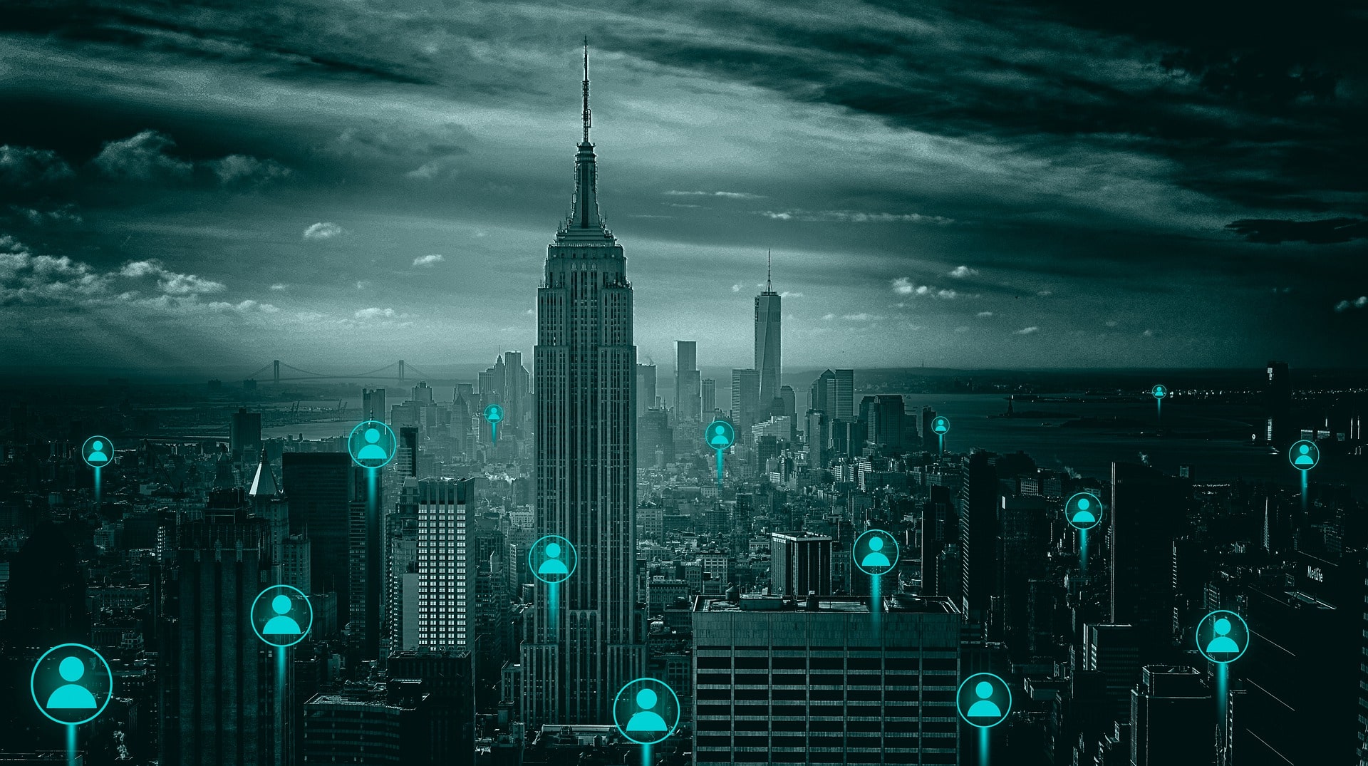
Mobility data is the data which shows how we move. This can come in many forms and at different levels of granularity, from bus times through to tracking of singular mobile phones. It can be used in a variety of formats, from snapshots through to real-time IoT (Internet of Things) streams.
People data will commonly come from mobile phones collected anonymously and with timestamps in its raw format. The data can be provided as GPX format, much like a sports tracker device but will have no attribution except a unique ID, location, and time. When looking at large amounts of data, this may be overwhelming and less useful than expected, and therefore generalized data is more common. Commonly, this data is used as raster gridded data or polygons which describe a 90th percentile of an area.
Transport data may come in two forms. The first form is the routes that are used, which are static snapshots commonly found in national mapping agency data, open streetmap or even direct from the provider. The second form is the real-time element, which may show multiple dimensions such as arrival times, departure times, progress (position along journey), or even elevation, warnings, and weather in aircraft and shipping data. This second real-time data is often provided as APIs but can also be got as monthly or yearly increments so that high level statistical analysis and trends can be extracted.
Two modern forms of transport data that were not easily available a decade ago are ANPR (Automatic Number Plate Recognition) cameras and modern car telematics. With the ANPR data it is possible to get counts and movements of vehicles where the cameras exist, and although they are not a dense source yet, more are being fitted even to shops’ car parks and refuse sites. Modern cars now have telematics (vehicle tracking) fitted, mostly for safety purposes. This data may be anonymized and purchased for analysis. Although there aren’t many vehicles with telematics on the road at present, it is expected that they will be the major form of car by 2050.
Animal movement data is often overlooked, especially when analyzing urban and rural areas, though it plays a vital part in ensuring minimal damage occurs to local ecology. In a weird way, animal movement data isn’t too far departed from the transport data, because it comes in two forms. The first form is nesting data — this is crucial in providing where birds, turtles, and other mammals reside. This data is often captured through human visits to the area of concern and therefore normally captured at the expense of the project. It is not common to find nesting data for large areas like districts.
The second form is the migration, or movement of the creature. For many years this, again, has been undertaken manually with trained observers sitting on a site, watching and recording the movements to a map or digital map. In more recent times GPS loggers have started to be used for tracking turtles and birds, though this can prove to be expensive.
Mobility data has been valuable in identifying people density and people movement. Many countries rolled out apps which notified users of their close contact with person who had coronavirus, this data was anonymized so that a random key was used instead of a phone number or reference. Data was collected over time for each individual user which could then be analyzed for intersections or correlations with people known to have tested positive to create alerts.
The newfound significance of data has been realized by governments and companies alike due to the effects of the COVID-19 pandemic. Mobility data has been valuable in identifying people density and people movement. Many countries rolled out apps which notified users of their close contact with person who had coronavirus, this data was anonymized so that a random key was used instead of a phone number or reference. Data was collected over time for each individual user which could then be analyzed for intersections or correlations with people known to have tested positive to create alerts.
This data proved useful for not only identifying those at risk but also for identifying mass movement, such as where people were moving and their routines. Using this information, it was easy to correlate people going to gyms, which increased the risk of contracting COVID-19. Also, it could be seen that the users who were going to work were at greater risk due to the number of positive cases related to business personnel and workers. This approach has been used for decades for tracking aircraft and shipping vessels to minimize risk.
One only needs to look at Schiphol airport in Amsterdam, the Netherlands for the ultimate in design and digital transformation as it is a full GeoBIM undertaking where people movement, aircraft movement and functionality have come together to create a highly efficient and low risk digital airport. By modeling the way people move around the airport and the use of terminals by aircraft, they have been able to create a baseline efficiency which can then be adjusted and expanded upon during change but still provide optimum service.
This technique also extends into urban design, whereby architects and designers can now use current people traffic and vehicle traffic along with street furniture and green space to model businesses and retail centers that provide better aesthetics and footfall where it is needed. It is also possible to model the traffic to run different scenarios based on building types and layouts. With the introduction of environmental data and animal movement it is possible to create much better green spaces and areas to live in and be more sustainable in our approach.
In the last two years, since COVID-19 struck the nation, several governments have announced mobility data strategies to ensure better and more efficient ways of working with the data. One of the most impressive recent ones is the European Commission’s Unlocking the Potential of Mobility Data which puts transport mobility at the core of sustainability and discusses improvements to the digital infrastructure to ensure the data is more interoperable and available.
As with all forms of geospatial data, as we accelerate through the fourth industrial revolution at present, there is a large demand for more detailed mobility data. The COVID-19 pandemic has helped us, as a society to be more aware of the issues of migration and disease transportation, which has helped break some of the barriers around privacy and security that meant the data was hard to capture. This has led us to be able to capture more data than ever before with new methods being worked on.
There is currently technology which uses object and facial recognition to track whether workers on construction sites are wearing PPE (Personal Protective Equipment). This has also been extended to capturing movement around football stadiums and the travel onwards. This technology will be used more in urban areas and areas with larger crime rates after it was proven successful in trials.
Sensors are becoming more affordable and the technology more advanced. What was a 10 cm GPS logger a few years ago is small enough to tie to a bird’s leg. In a few more years it may be small enough to hide on the label. Cameras will be more efficient as we start to use object recognition more and the price of the technologies will drop to enable more of them to be fitted and used for wider purposes.
As was seen at the Geospatial World Forum this year, Procter and Gamble discussed how mobility data was valuable in their location and business intelligence for driving to net zero. The logistic and retail mobility data being consumed will start getting more affordable through design and in a few years mobility data will be a necessity for business analytics and not just a useful additional data.
As a society we need to shrug off the concerns of ‘Big Brother’ watching you and embrace our anonymized data being used. It is a scary and worrying concept but we need to be more sustainable, through understanding how we can travel more efficiently … and it may well help us to detect and squash the next global pandemic.
© Geospatial Media and Communications. All Rights Reserved.