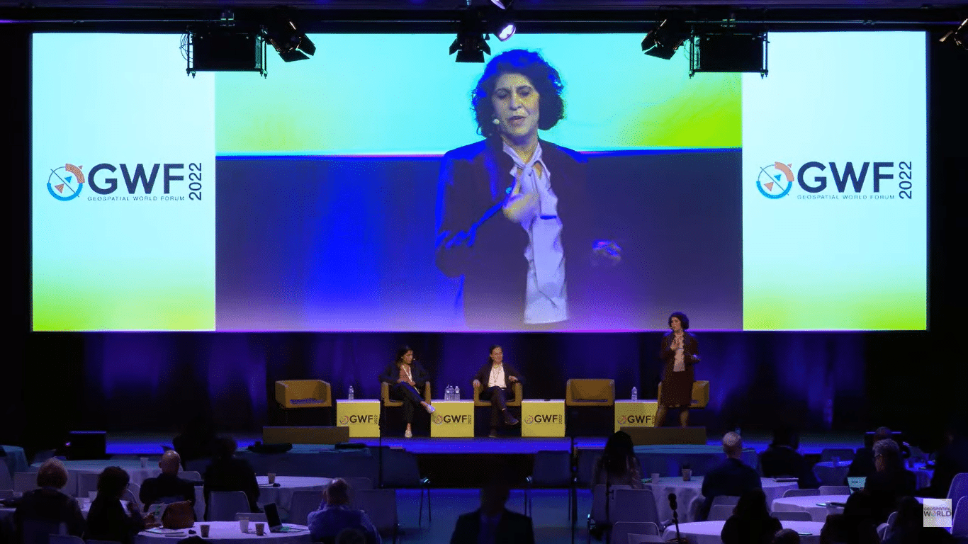
Innovations often herald a new dawn, open up new horizons, and spur economic growth. Giving an insight into how the industry, academia, and government can leverage these changes in geospatial data policy to its advantage was the sixth plenary session of 2022 edition of Geospatial World Forum in Amsterdam. The geospatial industry is enabling many innovations and changing the way businesses operate by creating new opportunities.
The session commenced with the moderator, Nadine Alameh, CEO & President, OGC, giving a gist of the entire conference and dwelling upon how innovation has become the buzzword. Before introducing the speakers for the session, Alameh touched upon issues like climate change, its mitigation, and public safety, adding that serious problems needed a collective approach.
Joining her in highlighting the environmental sustainability issues was Hannah Brocke, Co-founder & COO, PlanBlue, who said, “The concept of digital cities is mind blowing but we do miss a very big part of our planet, where high-resolution data is the need of the hour — the ocean and the sea floor, which cover two-thirds of our planet, and we lack this good high-resolution data. As a result, we face global threats such as climate change, biodiversity loss, and pollution.
About 98 percent of all marine life is dependent on sea floor, and also for us, it’s very important. It is a food source, a job provider and also a climate regulator. So, PlanBlue developed the first underwater satellite to fill the space and bathymetric data gap. We can pop up the sea floor with different applications for multiple use cases. We combine advance imaging with AI and underwater navigation.
The sea floor is 20 times more efficient in capturing CO2 than on land. So, it’s important that we enable the industry to deal with the problem, but the bottleneck at the moment is that we do not have a standard scientific way to carry out blue carbon credit (the process to protect the coastal ecosystem).
Deviating from oceans and seas to the space, Abhilasha Purwar, Founder & CEO, Blue Sky Analytics, said, “One of the major applications of space and for the first satellite was earth observation. We discovered most of the climate change through satellites. Back in the 50s, 60, and 70s, a massive change was observed by scientists, which led to the research and the concrete body of climate change that we have today. Then, telecommunications happened and that picked up a major business in satellites and space technology. But I think Earth Observation is going to come back.
The biggest challenge we face today is climate change. We also lack data on flooding, wildfires, and pollution. Although we have data on weather, that’s more about the US and Europe and relatively less about the other parts of the world. When we talk about forest monitoring, water monitoring or lakes or rivers, we have a huge data gap, and that is where earth observation, satellite date and remote sensing come in.
© Geospatial Media and Communications. All Rights Reserved.