February 2023 marks one year to the Russian invasion on the Ukraine territory.
Even after a year long struggle and bearing heavy losses in lives and infrastructure, Ukrainian defense forces are holding strongly against Russia.
For the past three months, Russian forces have been trying to assault the eastern Ukraine region. According to news reports, as many as two dozen Russian military tanks and infantry vehicles have been destroyed in the Donetsk mining town.
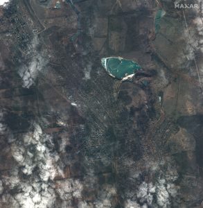
Satellite imagery from February 8th and February 10th reveal areas of intense artillery shelling in the farms and fields south of Vuhledar as Ukrainian forces reportedly pushed back Russian troops that have been attempting to capture territory in the area.
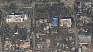
Russian military units, comprising of tanks and armored personnel vehicles, were deployed along tree lines in the fields as well as in residential areas (including behind homes and buildings) in Krylivka and Petrivka.
European Space Imaging partner, Maxar, collected recent high-resolution satellite imagery of the Vuhledar area in the Donetsk region of eastern Ukraine, the site of heavy fighting between Ukrainian and Russian forces.
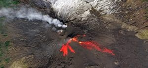
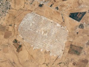
Check out the picture gallery below: