Not all calamities stem from climate change, but it has been responsible for supercharged storms, prolonged dry spells, extended wildfire seasons, intense precipitation and cataclysmic flooding. The bad news is that climate change is more likely to accelerate than slow down. The good news is that you can neutralize it.
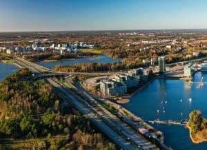
Twentieth-century structures are no match for 21st-century natural disasters. Fortunately, you can harness the power of geospatial technologies — particularly Geographic Information Systems (GIS) — and Building Information Modeling (BIM) to innovate when designing, building and maintaining infrastructure systems.
Marrying geospatial data with BIM models contributes to disaster resilience in seven ways.
1. Revealing Environmental Hazards
Putting BIM models in the context of their surroundings matters. It helps architects, engineers and construction professionals anticipate the potential disasters that can jeopardize the infrastructure’s structural integrity and endanger the public.
Geospatial technology is getting better at tracking natural hazards like hurricanes, earthquakes and tornadoes, helping forecast calamities more accurately. When building disaster-resilient structures, more reliable meteorological and seismic predictions and flood maps can help you determine suitable materials based on the buildings’ location and orientation.
2. Simulating Disaster Scenarios
Geospatial tech can be a powerful storytelling tool. It can help you visualize nightmarish events when:
- The Big One hits the communities along the San Andreas Fault’s southern section.
- A 1,700-foot tsunami inundates coastal areas.
- A Category 5 hurricane makes landfall in major cities.
- A massive wildfire threatens to engulf multiple towns.
- The Yellowstone supervolcano wakes up and erupts.
More importantly, it can virtually test the capacity of local infrastructure systems to withstand the worst afflictions nature can throw at them. Their performance in these simulations can help you discover room for design improvement and inspire more thoughtful disaster response policymaking.
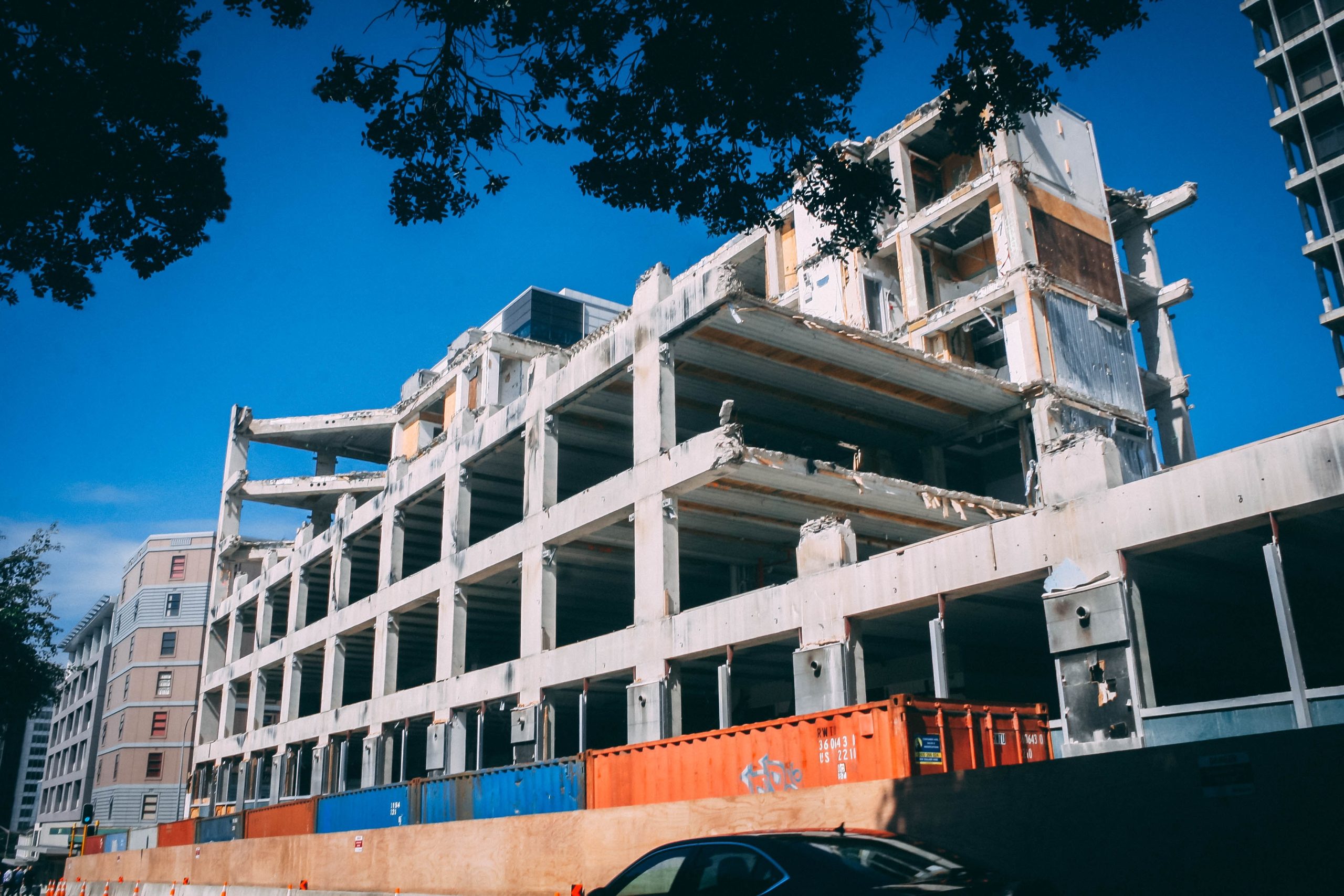
3. Identifying Infrastructural Weaknesses
Combining geospatial data with BIM visuals can shed light on overburdened bridges, railways and roadways, which are more vulnerable to disasters. Comprehensive 3D models empower decision-makers to fully grasp and analyze the effects of population density growth and land use patterns over time on critical systems — like utilities, transportation, oil refineries, airports, sea ports, educational institutions and health care facilities.
Public and private sector leaders can then proactively address infrastructural weak points. Retrofitting modern design elements to old structures or replacing them altogether will help avert humanitarian and economic catastrophes and save countless lives if disaster strikes.
Furthermore, knowing what’s wrong with deteriorating infrastructure allows you to foresee all potential hazards. Considering that construction accounts for 20% of all workplace fatalities, glean insights from digital structure models with geospatial data to prevent supposedly constructive projects from becoming disastrous due to accidents.
4. Establishing Safe Evacuation Routes
BIM-GIS integration can assess the capacity of critical infrastructure to ensure swift evacuation. Mapping and visualization with real-time data can help locate the most efficient ways to move people to safety in case of disaster — even when some entrance and exit points in a district or city are impassable.
Building robust infrastructure through BIM facilitates search and rescue operations.
Strong structures de-complicate the job of first responders, enabling firefighters, emergency medical technicians, paramedics, law enforcement officers and military personnel to reach victims more quickly and reduce casualties.
5. Easing Collaboration and Coordination
Geospatial data-driven BIM models make complex architectural drawings digestible to the uninitiated. They allow less technical infrastructure project stakeholders, like emergency responders, business owners and politicians, to be on the same page during planning and make informed decisions.
6. Optimizing Resource Allocation
Remote sensing techniques using satellites and drones can rapidly capture the extent and severity of infrastructure damage. Superimposing geospatial data on damaged structures can arm decision-makers with more knowledge of high-priority areas in case of calamity.
Such information allows the authorities to manage finite resources more effectively and mobilize essential supplies to minimize loss of life and property. Awareness of areas with the most pressing requirements helps governments direct relief goods — food, water, clothes, shelter, medication and hygiene products — to the hardest-hit evacuees.
Geospatial tech has been instrumental in carrying out effective pandemic response. It has helped keep track of disease transmission, monitor the capacity of health care facilities, use medical resources efficiently and implement interventions to contain the virus.
7. Rebuilding Cities With Insight
Post-disaster recovery and reconstruction are almost always costly and lengthy, but GIS-powered BIM models offer the opportunity to build calamity-stricken areas back better without wasting money. Taking the lessons from past catastrophic events into account can increase the resilience of communities against future disasters.
For example, the Sendai Framework for Disaster Risk Reduction identifies urbanization as one of the seven disaster risk drivers. Sustainable development should be at the heart of urban planning to reduce death tolls, population displacement and economic losses during calamities.
Excellent use of geospatial information can mitigate the impact of urban development on ecosystems. One of the best role models is Boise, Idaho, whose residents planted 2,450 trees to keep urbanization in check, secure local food systems and build community resilience.
Rebuilding urban areas with geospatial insights through BIM is vital. Consistent political commitment from elected officials matters, but the tech is available to design cities that foster social equality and prosperity.
Ditching seismic-vulnerability property designs should also be part of the reform. Researchers at the University of Buffalo are testing a new construction type to replace structures made of unreinforced masonry to resist quake damage more effectively.
Regardless of material, the collective prowess of GIS and BIM ensures quality construction. These two match building information with geospatial data for efficient project management.
Build Disaster-Resilient Infrastructure Systems
Natural disasters have been worsening over time. Although there’s no way to reverse the effects of climate change so far, critical infrastructure can adapt to them through innovation. Integrating geospatial technology with BIM allows you to design, build and maintain structures insusceptible to calamities to achieve your climate action goals.