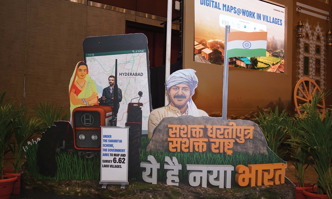
Partnering with the Geospatial World and National Remote Sensing Centre of IRSO, the EarthSight Foundation supported a special segment – DigitalMaps@Work in Villages.
This segment addressed the concern that geospatial information and services are grossly underutilized in making grassroots- level interventions for protecting livelihood, ensuring food and water security, and facilitating resilience and sustainability for village/ town development.
The grassroots level stakeholders, viz. gram panchayat (village institutions) members, social leaders, social workers, officials in the Panchayat Raj system, NGOs and CBOs, were made aware of the enormous potential of the wealth of information created by the geospatial technology providers and imparted the training on the use of the portals developed by ISRO.
‘DigitalMaps@Work in Villages’ showcased the capabilities of Geospatial technologies to grassroots-level stakeholders and addressed their major challenges.
It reiterated the commitment of the geospatial industry to become a more ‘socially relevant’ and demand-driven service industry to address demands emerging from stakeholders at the grassroots level.
These interventions aim to steer the geospatial and space industry to align with the stakeholders’ needs in sustainable rural development.