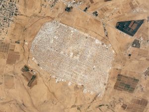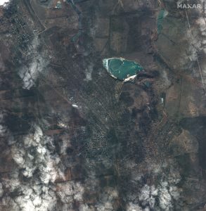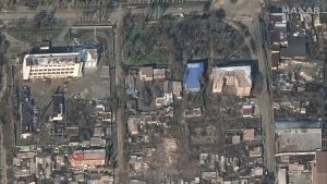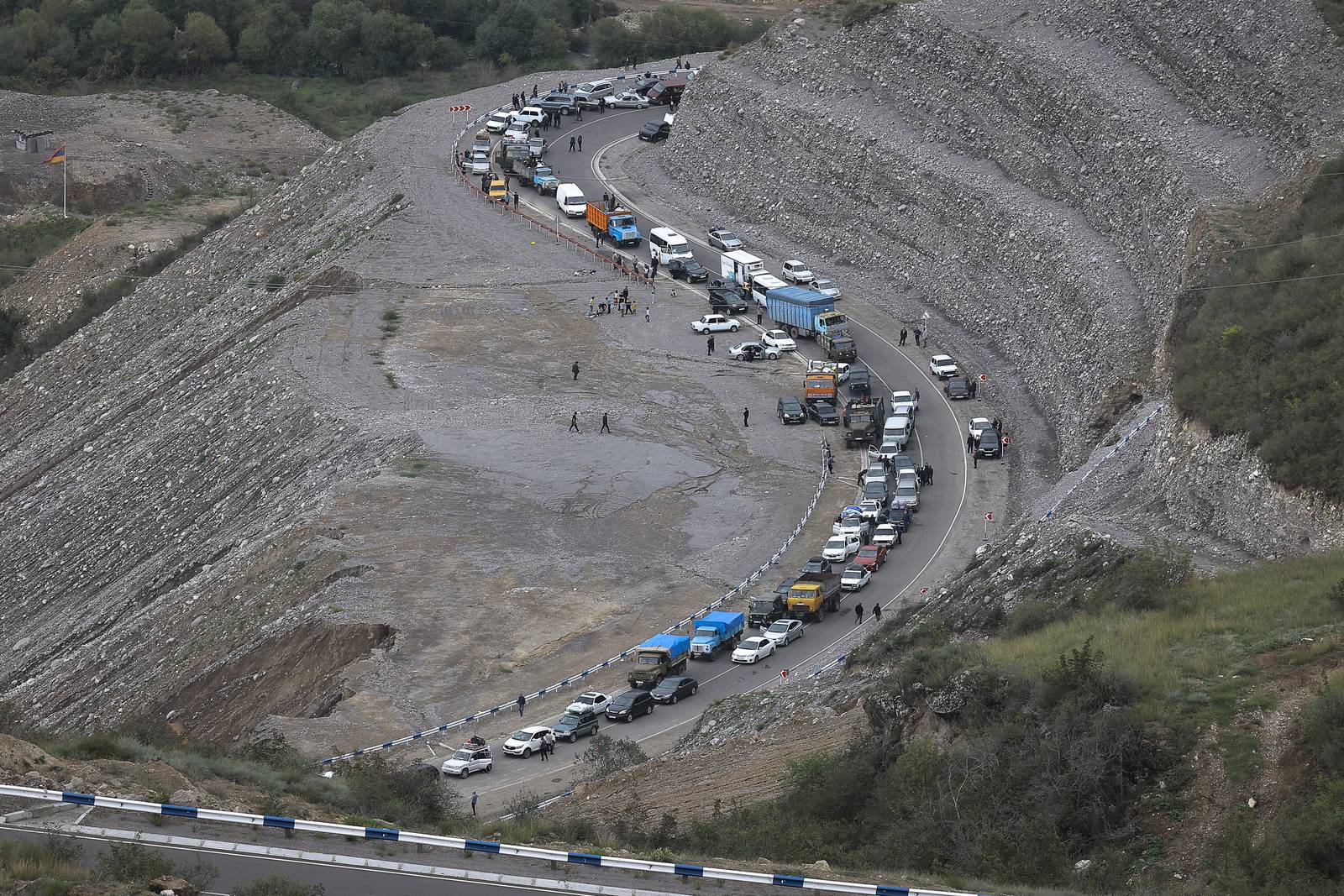
European Space Imaging (EUSI) partner, Maxar has collected satellite images (September 26th) of the Nagorno-Karabakh (NKAO) region that reveal a long traffic jam of vehicles along the Lachin corridor as thousands of ethnic Armenians leave Stepanakert (Khankendi) and head toward Armenia to escape recent clashes and fears of ethnic persecution.
More than 53,000 people from Nagorno-Karabakh population have fled to Armenia since Azerbaijan launched an attack on the breakaway region last week, according to Armenia’s government.


The Nagorno-Karabakh conflict is a territorial dispute between Armenia and Azerbaijan over the Nagorno-Karabakh region, which is de facto controlled by the self-declared Republic of Artsakh, but internationally recognized as part of Azerbaijan. This conflict has been ongoing since the early 1990s and has resulted in two major wars: the First Nagorno-Karabakh War (1988-1994) and the Second Nagorno-Karabakh War (2020).
On September 19, 2023, Azerbaijan launched a large-scale military offensive on Nagorno-Karabakh. The offensive violated the 2020 ceasefire agreement and resulted in heavy fighting between Azerbaijani and Armenian forces. On September 20, 2023, a ceasefire agreement was reached at the mediation of the Russian peacekeeping command in Nagorno-Karabakh. However, both sides have accused each other of violating the ceasefire.
Due to this, the people of Nagorno-Karabakh are facing a humanitarian crisis as the war displaced tens of thousands of people, with many people still living in temporary shelters. The blockade of the Lachin corridor, which is the only road connecting Nagorno-Karabakh to Armenia, has also caused severe shortages of food, medicine, and other essential supplies.