The Munich Satellite Navigation Summit 2024 commenced today at Munich with the theme, “GNSS Meets Friends in New Orbits – Potentials and Synergies!”
The Summit is part of the efforts of the Bavarian government and the cluster on aerospace and satellite navigation to stimulate applications and services in this high-tech field.
The discussions at the summit highlighted the evolving landscape of satellite navigation and its integration with other space-based technologies, and keeping in view the geopolitical situation, how countries should come together to develop robust GNSS systems to keep their countries safe.
Christoph Kautz, Director for Satellite Navigation and Earth Observation, DG DEFIS, Brussels, Belgium, stated that if one member state faces a crisis like a natural disaster and it does not have enough means to help itself, then the member state can call the Commission, and the Commission will call other Member States who have already committed in advance to provide in advance certain tools that is needed, for example in case of forest fire, fire brigades or air firefighter planes will be made available to the Member State and destress the situation.
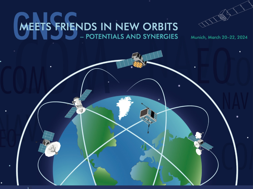
Historically, satellite navigation has been closely linked with Medium Earth Orbits (MEO). However, the burgeoning presence of mega-constellations in Low Earth Orbits (LEO) is reshaping this traditional understanding.
The summit aims to explore how complementary navigation satellites in LEO can enhance the integrity of GNSS signals at the Earth’s surface.
The potential for closer convergence between navigation, communications, and Earth observation systems, all operating in LEO, is a key focus of the conference. This integration is expected to uncover various synergies and new potentials in the field.
Future Navigation to rely on LEO PNT
“We are planning to launch 10 Galileo satellites this year in close collaboration with European Union Agency for the Space Programme and European Space Agency. Now that GNSS is launched in LEO, the navigation has become more precise and accurate, which is being used in autonomous vehicles, maritime, drones, and for making cities smart,” said Stefan Schnor, State Secretary, Federal Ministry for Digital and Transport, Berlin, Germany.
The European Space Agency (ESA) has initiated two innovative navigation missions, Genesis and LEO-PNT, as part of its FutureNAV program, with contracts totaling €233 million awarded to several European entities. This strategic move is aimed at addressing the growing demand for more resilient and precise navigation solutions in Europe.
Javier Benedicto, ESA’s Director of Navigation, highlighted the significance of these missions in meeting the burgeoning needs for enhanced navigation and ensuring Europe’s leadership in the vital space-based downstream market.
Threat of Loss of GPS
Keeping in view the geopolitical situation, jamming and spoofing of GNSS, and manipulating GPS have become a threat to civilians’ lives and unveiled the vulnerability of the country’s dependence on these services.
Harold “Stormy” Martin, National Coordination Office for Space-Based PNT, Washington DC, USA said, “Threat of loss of GPS is very real and the US takes it very seriously. We have U.S. policy that mandates that we have resilience, and the US has worked for years to leverage development of commercial and government complementary PNT.
“For example, the US Department of Transportation plans to field test operationally ready complementary PNT systems that are at a technology readiness level of 8 or above, as well as commercial complementary PNT systems. The Department of Transportation sent out a solicitation to vendors just last month and they’re working to develop a test range and evaluations, conducted on that range.”