A conversation with Captain Kamlesh Agnihotri, Senior Fellow, National Maritime Foundation, who is a long-time China observer, and distinguished author of research papers and books on the PLA Navy and Beijing’s marine ambitions.
Excerpts:
What do you think is the role of geospatial, remote sensing, and various other space applications in boosting maritime security?
Maritime security is based on two primary pillars – knowledge about your domain and anticipating adversary actions. Getting domain knowledge sometimes becomes difficult owing to the enormous oceanic expanse.
The Arabian Sea itself spans over 3.68 million square kilometers. To have active surveillance over such a vast area is often next to impossible.
Around 2011, a derelict ship washed ashore at Juhu Beach in Mumbai, undetected. While it turned into a tourist site, it was a big embarrassment for the security agencies, especially because it happened just three years after the dreaded 26/11 terrorist attacks.
There are limits to sea patrols, and oceanic security and surveillance. This is where the role of space-based surveillance and satellite monitoring becomes vital.
Oceans constitute most of the trade routes in the world, and there are various choke points. If these are seized, there would be a massive supply chain disruption. What do you think is the way to avoid such possibilities?
Indian Ocean supply lines are crucial not just for India, but for Japan, China, South Korea, and many other countries as well, particularly any oil traffic that comes via the Persian Gulf. More than 80% of India’s oil supplies come via the Strait of Hormuz, a very narrow passage. Any threat to energy supplies would have severe ramifications, derailing the entire economy.
That’s why there is a dire need for securing sea lines of communication and gaining control over information flow over this maritime domain. A lot of this information comes through regional collaborations and mutual cooperation with countries that share similar concerns.
There are many reports about Chinese naval incursions into the South China Sea and its various maritime disputes. Then there is the contentious issue of dark vessels and illegal fishing. What is the impact of it on the Indo-Pacific and the wider world?
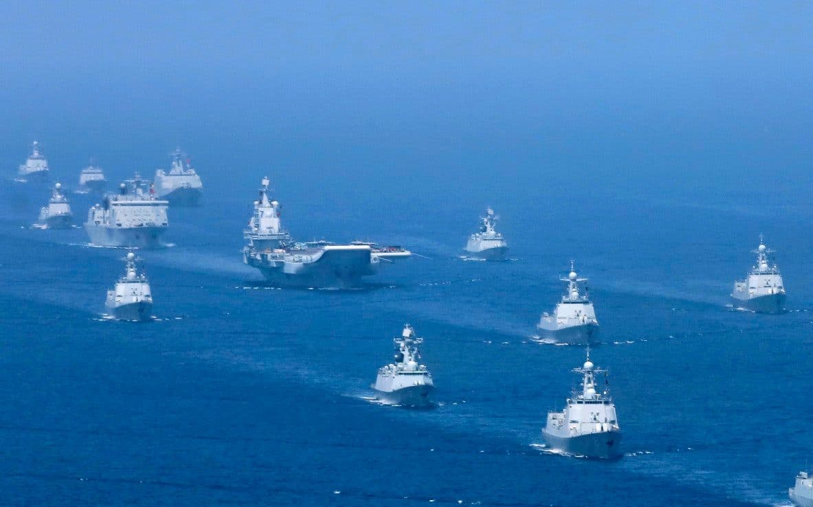
Every time Chinese Naval ships, other auxiliary vessels or research ships sail in the region, they pick up our radio communication signals and radar signatures to create a database, which would prove to be a very useful reference during any conflict situation.
This is a huge maritime concern. So, we want to create an architecture that entails constant surveillance of such ships which enter our primary areas of maritime interest through the Strait of Malacca. However, it is easier said than done, because of the vastness of the domain. Without space-based ISR assets, we won’t be able to meet this requirement.
Indian Navy’s Space Vision – 2014 spells it out very clearly. there is thus, tremendous scope for satellite surveillance systems. However, it has to be progressively provided by the industry, government organizations, and other stakeholders. Satellites with higher revisit times can cover vast swathes of sea space.
We also need suitable ground stations, as well as relay satellites to ensure near real-time transfer of data and information. The entire architecture, of course, needs to be built to safeguard national security.
Do you think India needs a comprehensive maritime strategy?
Yes, India needs a comprehensive national maritime strategy. And interestingly, the Indian Navy has been at the forefront of this effort. Our first maritime strategy was drafted in 2007.
The latest strategy of 2015 titled “Ensuring Secure Seas: Indian Maritime Security Strategy” talks about developing suitable architecture, along with collaborative efforts directed towards maritime domain awareness. These are the two biggest objectives. Next comes capacity building and capability enhancement, and possessing strong enough force to address multi-faceted threats that may arise.
While the challenges are well recognized by the government; there is a need to develop a national maritime doctrine. This gap needs to be bridged for effective implementation.
Do you foresee the Indian Ocean region turning into a potential conflict hotspot; or an arena of great power rivalries, with countries vying for influence?
There are already maritime disputes and conflicting territorial claims in the Indo-Pacific region: Taiwan and Scarborough Shoal near the Philippines are some of examples. There are underlying hotspots in the northern Indian Ocean too. So, India has no option, but to strengthen maritime security, particularly, by taking care of three contingencies.
The first is regarding the real possibility of Pakistani misadventure to support its long-standing territorial dispute with India. The other is the building up of a Chinese maritime presence in the Indian Ocean, which will constrict our operating and training space.
The third is a possible collusion between both these countries. China provides a lot of technical support to Pakistan, including space-based ISR and restricted ‘Beidou’ navigation signals of precision applications like missile guidance.
In fact, one of the control stations for the ‘Beidou’ global navigation system is said to be based in Karachi. At the moment, all these are not imminent threats, but we need to be vigilant and continue to be prepared for all contingencies.
What is the vision of the National Maritime Foundation, and when was it established?
National Maritime Foundation was inaugurated in 2005 by the then Defence Minister (Later the President) Shri Pranab Mukherjee. It is a young organization with vibrant national and international interlinkages.
We have active interaction with different Think Tanks, particularly from South-East Asian countries. That is how I realized the strategic importance of Indonesia, as the most crucial straits through which Chinese warships and other vessels transit come under the territorial jurisdiction of Jakarta. And we have an aspirational desire to persuade Indonesia to conduct underwater surveillance in these straits so that every time a ship or a submarine of interest passes through, it gets detected.
In fact, be it the American maritime strategy or the Indian one, every country recognizes the centrality of South-East Asia, at the core of which is Indonesia. Joko Widodo, the country’s President, has earlier propagated the theory of ‘Indonesia as a maritime fulcrum’.
It is therefore an important country to watch out for the future of Indo-Pacific maritime security, and the various outlooks and shared visions on it.


