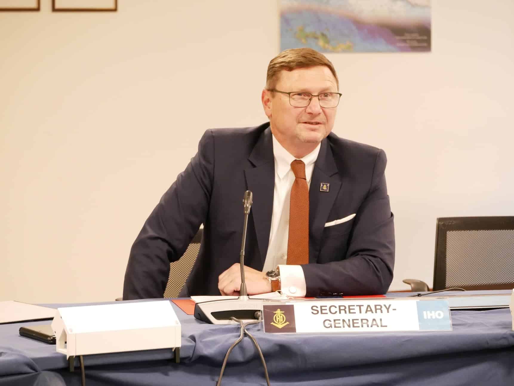
“Hydrography has made great strides in the last two decades, in consonance with modern technology. We have sensors that gather data, and senor-mounted autonomous units or drones that allow us to serve oceans effectively,” says Mathias Jonas, Secretary General, International Hydrographic Organization (IHO) in an exclusive interview on the sidelines of Geospatial World Forum 2024 in Rotterdam.
Founded in 1921, IHO focusses on oceanic exploration, sea bed mapping, and ensuring that all the trade and commerce goes uninterrupted. Since then, there have been a lot of technological evolution. What do you think is the role of geospatial in hydrography today?
Earlier, we were focused on printed maps, which is quote telling about the substantial changes brought forth by geospatial.
Centuries ago, people used to believe the world is flat. However, that is not the case. There is definitely a third dimension. And then there’s a fourth dimension, the change over time, which cannot be adequately represented by an analog approach.
We need a spatial approach to describe all of the processes which happen in the ocean and which have an effect on navigation. That is our main focus to this day.
How do you utilize satellite, drone, and LiDAR data to advance oceanic sustainability, biodiversity conservation, and fostering research & innovation for the future?
Hydrography has made great strides in the last two decades, in consonance with modern technology. We have sensors that gather data, which brings about a need for data management, and then products and services customized as per user needs.
If you raise a good number of satellite imagery, it becomes a very mighty tool for waters up to 30 meters depth, otherwise known as shallow waters. Another new trend is autonomous units or drones that carry sensors, allowing us to make a quantum leap in serving ocean services efficiently. Huge data has also become a real subject.
Looking back in history, the global mapping of the oceans was based on 30,000 depth soundings and this is exactly what a modern hydro acoustic multi-beam sensor produces in one second.
Does the IHO have a vision on supporting coastal communities, especially the marginalized ones dwelling near the ocean belts?
Yes we do, but indirectly. We have a well-established capacity building program that addresses the need for ocean survey and mapping in territorial waters. Of course you need technology for this endeavor, but you also need human capacity.
We invest massively, especially in Polynesian Island territories to increase the capability to manage their water territories in a better way as they did in the past.
This is not limited only for the purpose of surface navigation. It is very useful to know about commercial or economic activity like pipeline cables, energy production in shallow waters. Fish farming is another very relevant subject, though not directly for the IHO.
There’s a United Nations Convention on the Law of Sea (UNCLOS) that regulates frameworks for all maritime activities to ensure open navigation and resource conservation. How does IHO works with United Nations and all of the other stakeholders to ensure that there are no legal infringements?
We are a technical organization and can’t drive political processes to that extent. What we can do is help. For example, the law of the sea introduces a framework on designating sea borders, and we provide the technical means on how to do it.
As you can imagine, a coastline can really be much different from country to country, which makes it a technical problem to designate territorial waters, contagious zones, and economic areas. This is where we work.
United Nations envisions to designate more sea areas as protected, but there’s no holistic repository of this information and consequently no opportunity to create a presentation then to work on facts. We strive to maintain and establish that for the global community and all blue economy stakeholders.
What do you think would be the impact of Artificial Intelligence on Hydrography and how would it add value to the blue economy?
Artificial intelligence is smart in working with mass data, which is out of bound for human ability. Modern sensors create tons of data, the processing, quality assurance, and transition into data service products which are reliable becomes paramount. This is where AI comes into play.
We talk about mass data and the management of it, even the interpretation needs AI. So in the end we are very much on the same track as land applications are. Mass data, AI, data security, and interoperability. Those are the drivers of hydrospatial infrastructure.


