Forest Survey of India started in 1965 as a Pre-investment Survey of Forest Resources. Sixteen years later, in 1981, it got its current name.
The organization has a nationwide mandate for forest cover mapping, forest inventory, and forest fire alerts, which started in 2012 and are being sent regularly now.
With a workforce strength of 350-400, the Forest Survey is headquartered in Dehradun. It has four regional centres in Nagpur, Shimla, Bengaluru, and Kolkata.
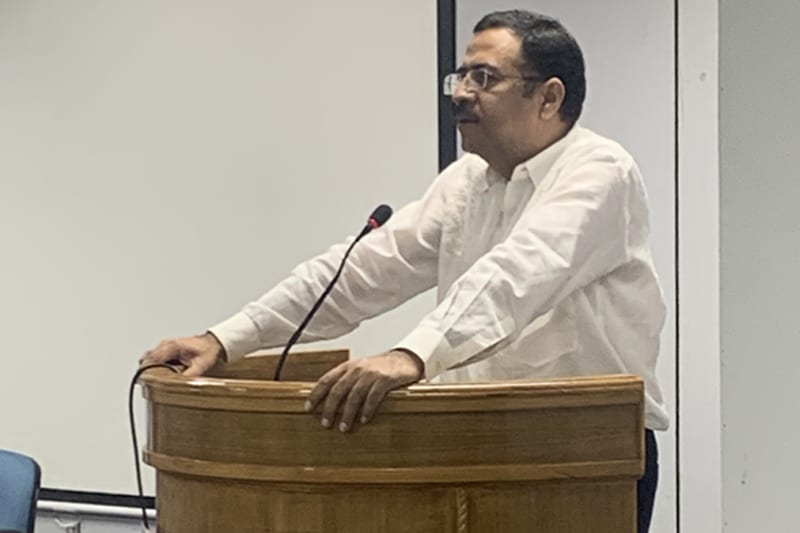
“The long-term sustainability roadmap of Forest Survey includes adding 3 billion tons of carbon dioxide equivalent through afforestation drives and large-scale plantation endeavors”, says Anoop Singh, Director General, Forest Survey of India, in an exclusive interview with Geospatial World.
How relevant are geospatial technology and location-based tracking for forest mapping, and for identifying areas where deforestation is going on, along with timber smuggling, or any other illicit activities?
Knowingly or unknowingly, whether we admit or not, all of us have been users of geospatial technology since our childhood. When we used to go to buy something from our house, we looked for the shortcuts and the nearest routes. For Forest Survey of India, the relevance is very, very high, because everything depends on mapping.
When we talk about forest resource assessment, we have to carry out stratification. For that, we have to create different strata based on common qualities. Everything is mapping and geo-statistics, hence location is extremely relevant.
We need to play an important role in making people realize the importance of forests in a more quantifiable way, ,as well as work on a model comparing scenarios of ‘good forest’ vs ‘no forest’, projecting the stark realities
Forest cover is essential for maintaining biodiversity, and for ensuring that natural resources are conserved. Towards this, what are the steps that Forest Survey has taken?
Ministry of Environment Forests & Climate Change, under the Central Government, and the various State government are implementing many plantation schemes. However, plantations take five to seven years to grow into forest cover, which is discernible on satellite imagery.
Besides that, agroforestry is an important area of focus. Plants such as poplar, eucalyptus, subabul are being planted all over the country. They are used by paper mills and other wood-based industries.
Do you use the latest technologies such as Machine Learning, data analytics, and big data platforms also for gain accurate insights?
As of now, we have not used Machine Learning, but at some stage, we will have to cross over to it.
Our target basically is, first of all, to understand as to how these technologies, optical and radar, can complement each other for assessing deforestation. Later on, we will try to train these models.
We are already in touch with many organizations across the country. We are trying to rely on some of them, such as the Indian Institute of Remote Sensing, along with other technical departments and statelevel forest surveys. We intend to bring everyone together on the same platform, and then discuss the issues and prepare a roadmap.
What is happening in India, from my experience, is that different people have done different bits and pieces. I am trying to get all of this on a single platform for better understanding of what has been done, so that we can then take it forward in a distributed model.
Do you collaborate with other government departments and with the private sector in India?
Yeah, very much. We have had collaborations with NRSC, Space Applications Centre Ahmedabad, Indian Institute of Remote Sensing, and the State forest departments of Odisha and Telangana.
Other than that, private organizations also do pitch in and assist us whenever we need any help. Many a times, it’s pro bono, so it’s not exactly a business venture. There are a lot of organizations who are pitching in and helping Forest Survey of India.
In a lot of forested areas, there are traditional forest dwellers, and other communities whose livelihood is dependent on forest produce. Does the Forest Survey reach out to them so they become stakeholders in the preservation of forests in India?
Actually, a law was enacted in 2008 Forest Rights Act looks into all aspects related to the rights of scheduled tribes and other traditional forest dwellers.
Ministry of Tribal Affairs, and the Ministry of Environment and Forests, are working together for the betterment of the status of all the tribals who are working in these areas and looking at ways to improve their income.
We see wildfires blazing all over the world, be it in California or Australia. What is the mechanism that the Forest survey has for issuing wildfire warnings?
For forest fires, we are working in collaboration with National Remote Sensing Center. NRSC is capturing the data from the MODIS and SNPP-VIIRS sensors, using which they dispatch information to us about the hotspots in the entire country. The data is sent to us at frequent intervals, which maybe four to six times a day.
To augment these alerts and warning system, we segregate alerts based on the administrative unit on the ground, and then send SMS to all the forest officers, range officers, foresters, forest guards, Panchayats and all those individuals who have registered on our SMS Alert system for that specific area. Registration for SMS is free and open to the public.
All the administrative staff working in forest department all over the country receive our alerts. We have got over 1.5 lakh subscribers who receive alerts several times a day. Alerts are routinely sent to first responders. In states like Himachal Pradesh (HP), they are also sent to village chiefs/ sarpanches and the eco-development committees, as they are the ones who get affected the most at the grassroots level. In HP, this has led to sensitization and reduction in number of fires.
Achieving net zero emissions is a very ambitious target. Though India is also in line to achieve it by 2030. What would be the role and contribution of Forest Survey towards this ambitious target?
Net zero basically means carbon sequesterd is equal to carbon emitted. We are planning to start working on climate change, because Forest Survey of India is in possession of legacy data of about 50 years. We have these records in paper form, which we will get digitized. We are also planning to tie up with ZSI and BSI to identify certain climate change indicators, such as the impact on herb growth in particular regions.
We are working on the forest cover as well as the tree cover, and modeling the change, so that we can create awareness about it, and also know how much further sequestration we are going to carry out.
For sequestration, which mainly arises from growing forests, Forest Survey of India is the nodal agency for the entire country. We do the calculation for it, as well create reports for agencies as varied as NATCOM and FAO.
There’s a need to increase automation. A lot of the manual processes that we are doing, may get automated in due course of time. At the same time, basic thing like data gathering and collection at the field level would continue
What is the technological vision of Forest Survey, if in a nutshell, you want to express it?
For one, we need to increase automation. A lot of the manual processes that we are doing, may get automated in due course of time. At the same time, basic thing like data gathering and collection at the field level would continue, because, as of now, there’s no ready-made substitute to it, even if you use LiDAR, or radar, or whatever for capturing the biomass.
As far as the data is concerned, we would like to go for higher resolution imagery. Remote sensing scientists we work with are aware that shadows create issues, as well as other seasonal factors, phenological changes that led to some obstructions. We are trying to sort them out.
We also want to work on ecosystem services being holistically rendered by forests, and have robust area based calculations over the country level. In line with the vision of our Prime Minister, we would like to work on in-situ water conservation models.
We need to play an important role in making people realize the importance of forests in a more quantifiable way, as well as work on a model comparing scenarios of ‘good forest’ vs ‘no forest’, projecting the stark realities.


