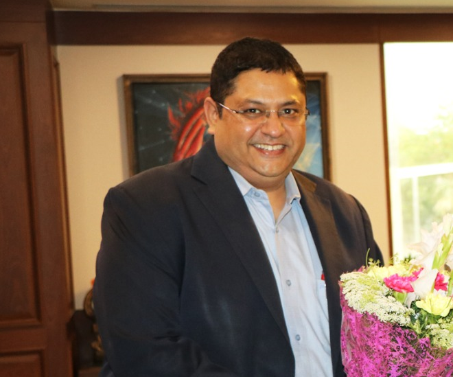
In a conversation with Geospatial World, Rahul Vatts, Chief Regulatory Officer, Bharti Airtel, speaks about the growth potential of India’s space sector, challenges and advantages of fiber data and SATCOM data, why the Indian rural areas’ are covered under satellite communications, and much more.
What are the trends in Indian space economy?
The sector regulator in space has recently tried to size the Indian space Opportunity market, and what sort of the goals we should look at in terms of the potential. If you look at it, right now worldwide, we are talking about nearly 5% of the GDP of the world coming from space related economy in over next 10 year period. And we have to replicate the same for India that is what our target has to be. Currently we are just having 2% of the entire space economy in terms of the space commerce as far as India is concerned. But going ahead now with the very progressive policy regime, which the honorable Prime Minister has unveiled and the positive steps been taken by in-space, we are sure that this sector is really going to grow up. Now there are a lot of downstream benefits. There are so many use cases which have come up, the amount of potential and opportunity which is there to serve the society and for the global good.
What are the advantages and challenges in fiber data and SATCOM data?
With the humongous amount of applications which are now driving our consumption, like in the mobile handset with 5G connection, the amount of data hungry nature of the applications it requires to consume more data. Now, to be able to carry that huge amount of data from the cell site to the next cell site or to the final exchanges, it requires a pipe now. Generally this pipe used to be in the form of microwave earlier, but now are turning into fiber that can carry more capacities. Unfortunately, it is difficult to lay the fiber all across the country because there are deserts, mountains and difficult terrain. That is where the use of satellite comes in because satellite can provide opportunity to be able to carry large amount of backhaul using those links. Already a lot of government projects like USO projects in Northeast, in parts of Odisha, we are already using satellite as an industry. So that is the whole issue about fiber and how satellite can really enable that backhaul.
There are plans to increase the coverage area in rural and remote areas in India through SATCOM. What challenges obstruct this from happening earlier?
Till now, the satellites which were available for usage had limited capacities available under them. Also, the speeds they would derive are going to be very rudimentary. If the customer was getting 2G like speed, and if you go to a customer today, he’s used to getting at least a 4G like speed on his handset. With the advent of the LEO (low earth orbit) satellites, one can actually get a 4G and 5G like speed on their devices. The whole complexion of this industry is changing with the LEO, one can now get that much amount of speed and that much amount of capacity to be able to be used. And that’s the reason why it was not covered earlier because the application which we were giving the customer is not very interested in that sort of nature of a service.
What is the role of geospatial technology in space and telecom sector?
Geospatial is the very basis of how we start designing a network. Today, if I have to plan any network, for which I go to a green field area, I need to know the topology and terrain of that area to be able to plan my network. For example, let’s say Aurangabad, which is a city with two completely different parts. One part is at a very height, other part is comparatively lower in height. If I don’t have the data available with me, how do I plan my network? With geospatial technologies, we are now able to really see and map out the clutters, the clusters, which we are planning, how to see the traffic movement. So to design good quality network, it is important to get the accurate data input, so in this application geospatial technologies are very important. Second application of using geospatial technology is to derive multiple data which will be seen in the amount of use cases which are now going to come up, whether it is agriculture, or a host of applications.
What are the new projects in your pipeline?
As far as we are concerned, as a telco service provider, we just rolled out the fastest 5G rollout anywhere in the world, and we have already covered more than 5,000 cities. As a satellite industry, we are getting ready for the launch of One Web services in India using the LEO technology. And we are hoping that over next few months one will see the first rollout of the services happening.
Watch the video here:


