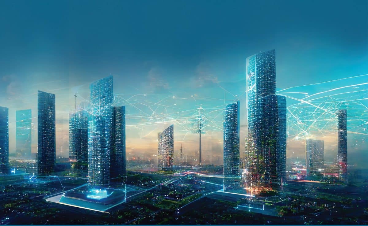
Digital cities represent a connected community that combines broadband communications infrastructure; a flexible, service-oriented computing infrastructure based on open industry standards; and innovative services to meet the needs of governments and their employees, citizens’, and businesses.
By 2031, five billion people are projected to live in cities. This figure is likely to go up to 70 percent of the world’s population by 2050.
India’s urban population is projected to increase to 600 million by 2031, and the urban sector would contribute around 70 percent to the country’s GDP by that time. Urban sector will also contribute 85 percent to all tax income of the country, and 70 percent to all new employment generated in the country.
The digital transformation of the cities happen in various phases. The first phase is digitization, where conversion of information from analogue to digital happens. This can result into changes in existing business models to provide value to stakeholders.
Digitalisation helps cities apply technologies to optimise existing urban processes by achieving a more resourceful coordination between smart services by creating additional citizen value through improved services.
Digital transformation impacts citizens, stakeholders, as well as city operations, going beyond digitalisation by changing simple urban processes and tasks.
Benefits of Digital Transformation in Cities
Now, the question arises as to why digital transformation is needed? What are the advantages of these transformation? The first advantage is the more effective, data-driven decision- making. A well-designed data analytics strategy gives city officials the ability to access and analyze a massive amount of information from where they can easily glean meaningful and actionable insights.
Second advantage is the enhanced citizen and government engagement. Expanding digital services in communities make smart cities a more attractive place for residents to live and promote a connected citizen experience.
Digital transformation in cities result in reduced environmental footprint. Energy-efficient buildings, air quality, sensors, and renewable energy sources are providing cities with new tools to shrink their ecological impact.
It also leads to improved transportation. Connected transportation systems have some of the greatest potential to drastically enhance efficiencies throughout a city with reduced pollution.
Digital transformation leads to efficient public utilities. With a limited supply of natural resources available to meet human demand, smart technologies are giving cities the tools needed to effectively conserve and reduce the inadvertent wastage of water and electricity.
Another advantage of digital cities is improved infrastructure. Smart technology can provide cities with predictive analytics to identify areas that need to be fixed before there is an infrastructure failure.
Geospatial and 4IR Driving Digital Transformation
Smart cities world over are becoming webs of Information and Communication Technologies (ICT), integrating the Fourth Industrial Revolution (4IR) technologies like Location information, Internet of Things, Artificial Intelligence, sensors, etc.
The most important part of this ICT structure is an intelligent grid of connected devices that transmit data through the cloud. This cloudbased network of devices receives, manage, and analyze real time data which is extremely useful for municipalities and urban authorities in decision making.
Geospatial technology provides the underlying foundation and the fabric upon which solutions designed to cater the need of citizens is built upon. Geospatial technology allows decision makers to pinpoint exactly on the location of their assets, source of the problem, availability of resources, inter-linkages between different factors that enhance problem solving, as well as a platform to predict and apply possible solutions and precautionary measures in times of need.
Augmented reality is driving the digital transformation. Augmented reality has been defined as visual or audio “overlay” on the physical world using a smart display to provide contextualised digital information that augments a user’s real-world view.

Integrated GIS and BIM Solutions
Integrated geographic information system (GIS) and building information modeling (BIM) solutions facilitate a data-driven approach to project life cycle management, which is crucial for sustainable project outcomes.
Work-hour are spent managing rework and handling conflicts. Integrated GIS and BIM help in planning and designing of the building, where site analysis and structural design evaluation are done with the help of this technology.
It also helps in city asset management where sustainable asset operation and infrastructure asset upgrading are heavily dependent on this technology. GIS and BIM are particularly useful in construction & engineering industry, where it helps in on site coordination and clash detection.
It is used in Building Energy Management, where it helps in tracking energy consumption at different scales of the city.
The integrated geographic information system and building information modeling solutions also facilities management by building management system and helps in operations and maintenance by doing utility management system and efficient resource planning. It also helps in operations and maintenance by doing virtual inspection and predictive maintenance.
Last but not the least, it helps in developing control and regulations by ensuring compliance with development regulations.
Digital Twins for Cities
Digital twins are the virtual representation of the entire city, which integrates geospatial technology with interactive 3D models. It is the digital counter part of the city with each and all assets and processes. Digital Twins have Intelligent Network Systems consisting of cloud computing, big data, sensors and microchips. It also has Industrial Internet of Things (IoT) consisting of geospatial infrastructure, AI & machine learning, XR technologies.
The Digital Twin solution was used to capture nationwide 3D data and cloud-based visualization in Netherlands where collaboration platform for geospatial data and services were used.
Technologies like digital twin, LiDAR, and cloud were used for transforming Netherlands into a digital city. The advantages of this process were the visualisation of projects for public review, allowing the virtual collaboration and improved work processes and planning.
Another city in point is Hong Kong, where the digital design was used for the establishment of the Kwu Tung North, New Development Area. 3D modelling, real-time visualization, BIM, geospatial and digital twins were some of the technologies that were used in the digitization process.
It resulted in save in time of the project, reduced cost and labor, direct implementation of changes in the mod However, this exercise of digital transformation is not devoid of challenges. Lack of technological awareness, unscalable and complex IT infrastructure, lack of collaboration, financial constraints and data security and privacy are some of the major challenges facing this transformation.
ALSO READ: How Geospatial Technology Helps Create Future Smart Cities