
Geospatial World Forum 2023 event commenced today at Rotterdam, the Netherlands. Sanjay Kumar, Founder & CEO of Geospatial World started the four-day conference with his welcome speech where he said, “Transition is inevitable and heralded by Resilience. Resilience can be build through a system of systems approach. This can be done by adhering to a few important steps like Measuring, Modelling, Monitoring and Managing which leads to sustainability of everything, with Geospatial being the foundational pillar.”
Geospatial Technology is at a stage where it is growing in relevance and having a value impact. It is done by understanding the problem by estimating the resources available.
Using Geospatial Technology to Understanding the Problem
The rapid geospatial transition is driven by technological innovation and the widespread adoption of technology in our daily lives. It is also influenced by notable changes in social, economic, environmental, and geopolitical outlook, which are driven by conflicting and complex forces of globalization and localization.
The rise of population, migration, temperature, air pollution and consumption contributes to the depletion of natural resources, flora and fauna, water and most importantly wealth.
Developed countries have lost almost 25% of wealth and the developing countries have lost around 75% of the value of the wealth.
The geospatial industry has gained $202billion investment, across downstream space, GNSS systems etc. and moving towards $1.7tn geospatial economy and a socio-economic impact of $7.5 trillion worldwide.
This is done through connecting different layers of information for actionable intelligence and embedding a spatial vision across all workflows.
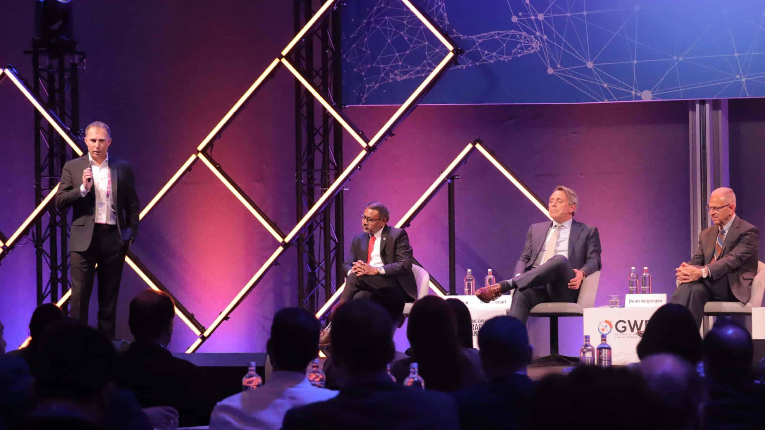
Embracing One and All through Progress
Frank Tierolff, CEO of Kadaster talked about how “To embrace one and all, we have to embrace progress.”
He also talked about how constantly one needs to adapt face new challenges, and to answer the questions that society asks us. We need to adapt new methods & tools to answer the growing demands.
He talked about the Land in Peace project in Colombia, This project aims at speeding up the process by applying the Fit-for-Purpose methodology, and the farmers themselves walk along the borders of their land with a GPS to demarcate their plot.
This is done as it is estimated that up to 60% of the rural population does not have legal proof of ownership over their land, which corresponds to roughly 10 million rural parcels. The true impact of the above has led to data collection and public inspections of several hundreds of parcels.
To embrace one and all there is a need to embrace the possibilities of geo data.
Dean Angelides, Corporate Director, ESRI International added onto the Geospatial theme of Embracing One and All, by talking about how Geospatial Technology is important and very necessary in different domains like Water & Wastewater management, Energy Utilities, Engineering and Public Works management and Census, Demographics and Political Redistricting.
Scott Crozier, Vice President, Survey & Mapping, Trimble concluded the plenary by sharing an outside’s point of view and emphasizing on how Geospatial Technology has become an indispensable part of our lives and is changing paradigms at an astonishing pace.
The impact of Geospatial Technology is felt far and wide, from the grand pursuit of urban planning to the wise stewardship of natural resources, and even to the swift response to emergencies. With the power to analyze and bring to life geospatial data, it grants researchers and decision-makers the gift of vision into the intricate workings of complex systems. Through this, they are empowered to make informed and enlightened choices concerning the use and management of resources.


