Dr. Shailesh Nayak was recently awarded the prestigious Padma Shree for his contribution to oceanography, which includes developing India’s first automated Tsunami Warning System that has saved countless lives since the 2004 Indian Ocean Tsunami.
The UNDP (United Nations Development Program) has hailed India’s Early Warning Systems as a model for disaster management and community empowerment. His contribution also includes a fishing system for fishermen as well as setting up AQI (Air Quality Index).
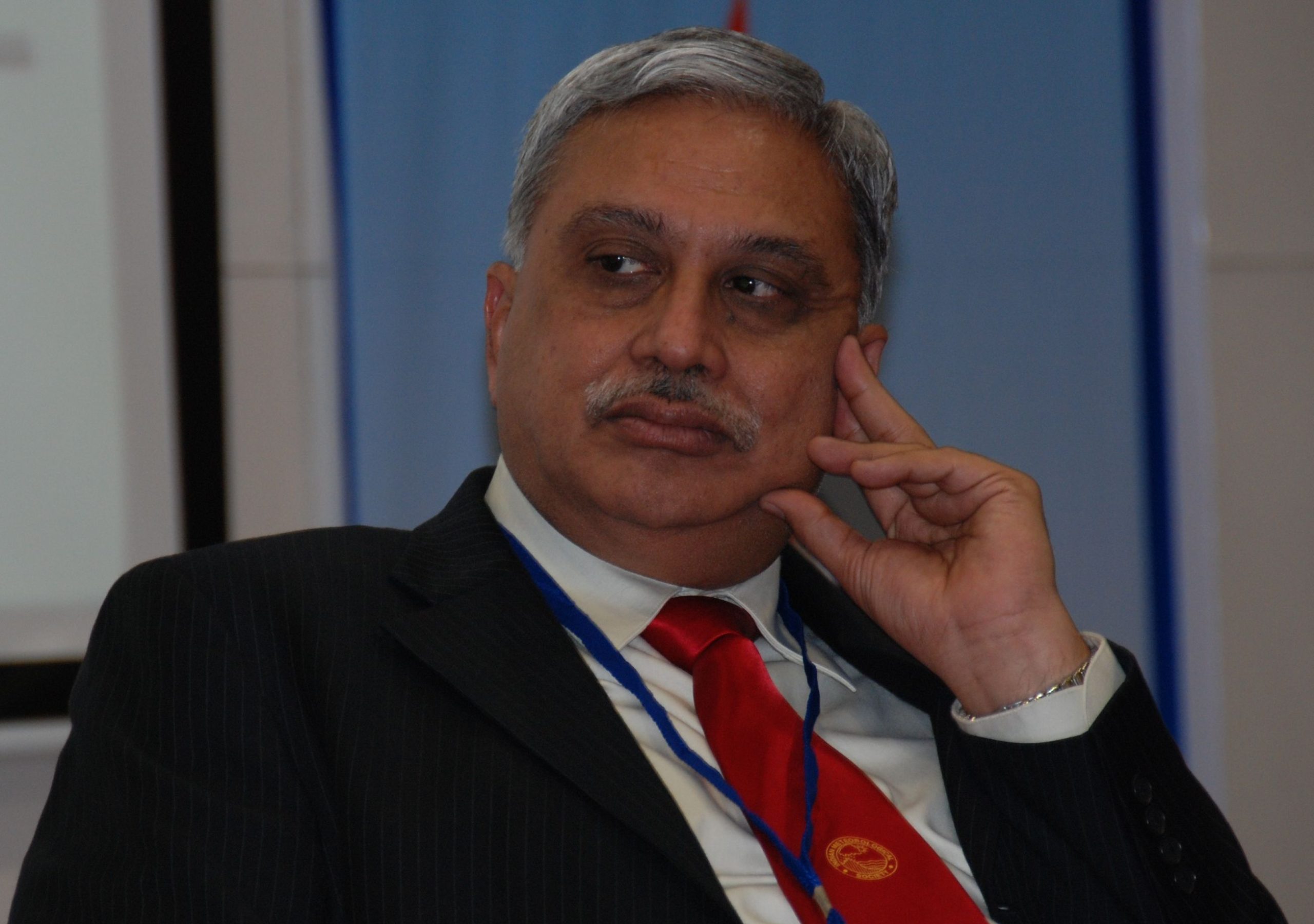
Dr. Nayak is the Director at the National Institute of Advanced Studies in Bangalore, and Chancellor of TERI School of Advanced Studies in New Delhi.
In an exclusive interview with Geospatial Artha, Dr. Nayak, the man behind India’s first Tsunami Early Warning System shares his journey as an oceanographer and the challenges he faced while developing the tsunami early warning system.
What were the challenges that you faced while developing India’s first tsunami warning system?
At that time, there was not much knowledge about tsunami and what could be the components of the tsunami warning system. The other major issue was the technology, how to put all other things together to detect the earthquake, because 90% of the tsunamis are generated by the earthquake.
Whatever system we had to detect, the Cisco Grafters were within India and the tsunami genic zones were Indonesia and the Andaman coast, which are outside the Indian mainland. In order to detect, you need to pinpoint correctly, for which you need a system on both sides of the earthquake. Also, at that time, data was not available because we were not sharing our suspect data with anybody else and nobody was sharing with us. Then we did some hybrid discussions with the global system to provide the data.
Even then the issue was that it used to take almost one hour to detect the earthquake and about 2-2.5 hours for the data to reach mainland coast and by that time tsunami would’ve come. So we needed to develop a system which provides data in real-time. The second is that we needed to confirm the rate of the earthquake in Richter scale.
So you need the tidal data where the tides would’ve changed along the coast, not only India but Indonesia and Pakistan and then in the ocean, if it has changed, you need whether sea level has changed, there is very sensitive instrument output, which is called bottom pressure. It measures the pressure of tsunami, which is very accurate. It can even detect changes in millimeters, but the problem is that the sensor is sending signals from 3000-4000 meters below the surface, and it takes time to reach to the surface. In case a single signal is missed, it can turn out to be a huge disaster.
After that, all these information should come in real-time to a center and this has to be processed in real time. The third is that since you can’t have the signal, similarly the models also will take long time to learn to run. Today there is a lot of things like IoT, AI and ML but we did it without these technologies in 2007. For which we need the related geophysical instruments, communication, computing, and most importantly decision support system, which is based on GIS.
We also need to be sure before giving warning because if there is false alarm, people will stop believing us. So, we set up a tidal power station and a water pressure recorder, which informed us about the changes in sea level. We can confirm about the tsunami through this. Our model details the tsunami wave’s height and travel time every 50 kms.
In the entire Indian Ocean, we are forecasting on around 1800 points. The communication system should also be strong in this process, which we have made. It took 13-14 minutes in this process in the beginning. The time decreased by 6-7 minutes after six months. Also, there is no false warning.
Now that we have all the data and technology available to us, what are the ongoing challenges??
The major challenge which is yet to be overcome is very large earthquake, like what happened in Fukushima, which was estimated 7.9, but turned out to be 9.1. Now the difference between seven and nine is 30 times. Now we are trying to work on realtime models due to access to high computing power and many GPS stations.
If there is any rupture, the GPS can also pick up because there will be changes in either horizontally or lateral vertically, once you know the rupture, you go to the magnitude, which is possible in principle, but the amount of data to be processed is little high. So they have been working on it and I’m sure that another couple of years we should be able to overcome that.

The second challenge is, that all this is based on earthquake, but tsunami can occur due to landslides, and submarine landslides. For that we have to further improve our system. That means we need to put more bottom pressure record so that we can identify landslide prone areas.
The coastal zones have always been affected by natural disasters and now with the growing plastic pollution in the ocean, the habitats are further deteriorating, how can geospatial help foster ocean sustainability?
There are two main sources of plastic, land-based and terrestrial-based, which if not properly disposed gradually degrade and become smaller particles, what we call as microplastic or microfibers, which can travel through streams, rivers and oceans.
Fishing nets are also one of the largest cause of microplastics. We can’t do much here other than creating consciousness among fishermen. With the help of geospatial, we can map the sources of plastic pollution online and look at where they are getting transferred. Most fish now have microplastics in their gut but it is still not at a very alarming level.
For which campaigns are going on to connect the marine leaders. The most important thing in my view is the consciousness among the people.
Climate change has become a pressing issue, escalating the frequency of droughts and flash floods, tropical cyclones, landslides, earthquakes etc. How can the disaster response system be strengthened to tackle the effects of climate change?
Accurate cyclone prediction has saved a lot of lives over the last 15 years. Back in 1998-1999, the cyclone in Odisha killed over a thousand people. Now the response of the state and national government and the local bodies is extremely good. They have successfully moved almost 2 million people from the coastal areas in case of any warning, but moving them to a safe space is not enough, you have to provide them food, water, shelter for at least a week or so, which is a herculean task.
Earlier, people were reluctant to move when the government asked them to, which has changed because now both people and government trust the forecast. Similarly, for floods also the system is in place but it is not as effective as cyclone, however now the system has been put in place in Chennai and Bombay.
Traditionally it was believed that floods are a plains problem, not a hills problem, but we have been seeing that the several floods in Uttarakhand, and in Kashmir. Now for that the system is not ready, there are not sufficient observation points to read from. We need to focus on certain areas now, especially the urban and the hills to address the issues of floods. In the urban areas a lot of encroachment is happening on water bodies.
And many urban areas have very high rise building. So the foundation goes very deep, hindering groundwater movement. At the same time, many lakes and ponds have been filled up. So there is not sufficient place for water to move. While constructing roads, they put one meter high dividers, which act as dam and hinder the flow.
Also, when they relay the road, the hydrology is not taken into account so many times the road is laid on the higher surface and the surrounding remains at lower side. Similarly now with ocean also there are marine heat waves, which is also for that the system is in place to predict marine heat fields. So I’m sure that as the impacts of climate change increases the better system both for early warning and it’s response by the government will be in place.