Find out what goes into develop an autonomous car
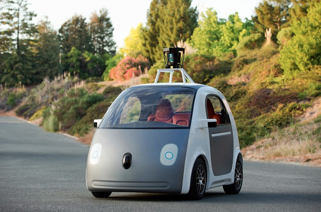
Driving a car is not an easy job. This has been established in many ways through various reports that suggest, humans are not remarkably great at driving. And it was


Driving a car is not an easy job. This has been established in many ways through various reports that suggest, humans are not remarkably great at driving. And it was
The proposed National Land Use Policy which seeks to regulate land use efficiently would help in augmenting the use of waste and non-cultivable land, and integrating them with Location Based Services (LBS) would make it easier to update and maintain digitised land records.