
On 24 February 2022, Russia invaded Ukraine in an escalation of the Russo-Ukrainian Conflict that started in 2014. The invasion became the largest attack on a European country since World War II. This past weekend marked the sombre second anniversary of the Russian invasion of Ukraine. The past two years have been a period of immense hardship for the Ukrainian people, with countless lives lost and significant infrastructure damage.
Maxar Technologies Provided by European Space Imaging has released a set of satellite imageries, offering a glimpse into the war’s impact on several key areas.
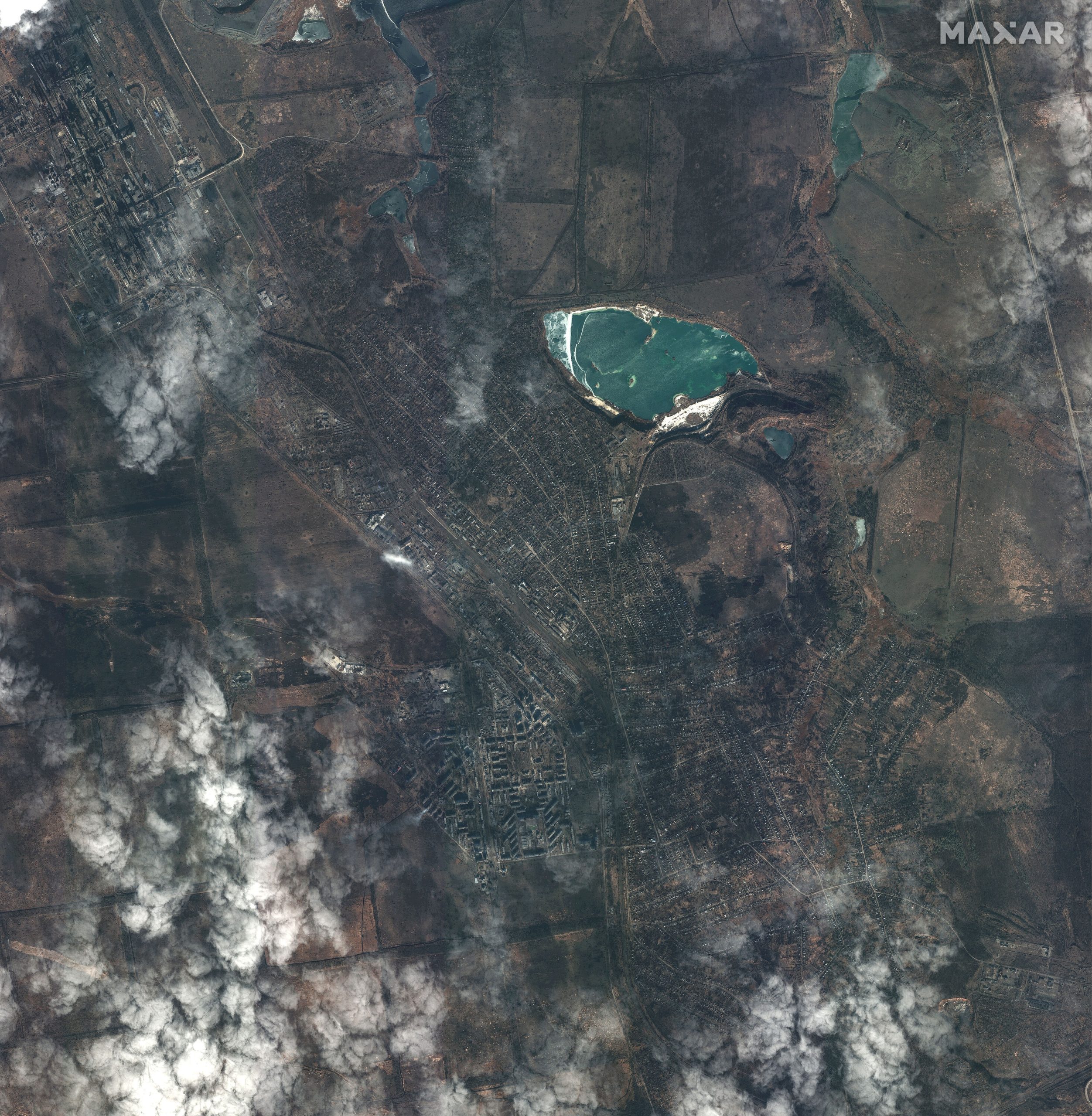
Devastation in Ukrainian Cities


These satellite imageries showcase before-and-after images of several Ukrainian cities, including Bakhmut, Avdiivka, Pavlivka, Nova Kakhovka, and Robotne. These cities have endured heavy fighting and sustained severe damage over the past year.
Strikes and Counter-Strikes


These Satellite Images also showcase instances where Ukrainian forces struck back at Russian facilities and infrastructure, both in Crimea and within Russia itself. Additionally, various defensive measures employed by Russian forces to protect against further attacks are also shown, such as placing tyres on aircraft and erecting barriers at naval ports.
A Grim Toll


Perhaps the most poignant section of the galleries analyses the expansion of Russian cemeteries near the home garrisons of elite military units involved in the war.
Cemeteries in Feodosiya, Stavropol, Ryazan, Tula, Alabino, Bakinskaya, and Berezovsky all exhibit significant growth in graves, highlighting the human cost of the conflict.


