The land administration industry is on the critical path to the sustainability of the planet. A better and evolved land administration industry will help in managing land-related conflict to bring peace and economic stability while increasing workflow and efficiency. Against this backdrop, the role of geospatial infrastructure in land administration was discussed in a symposium session on Land Administration at the Business Centre of Amersfoort, Netherland on 12 May 2022. The session was moderated by Thomas Schulz, Secretary-General and Treasurer, International Cartographic Association.
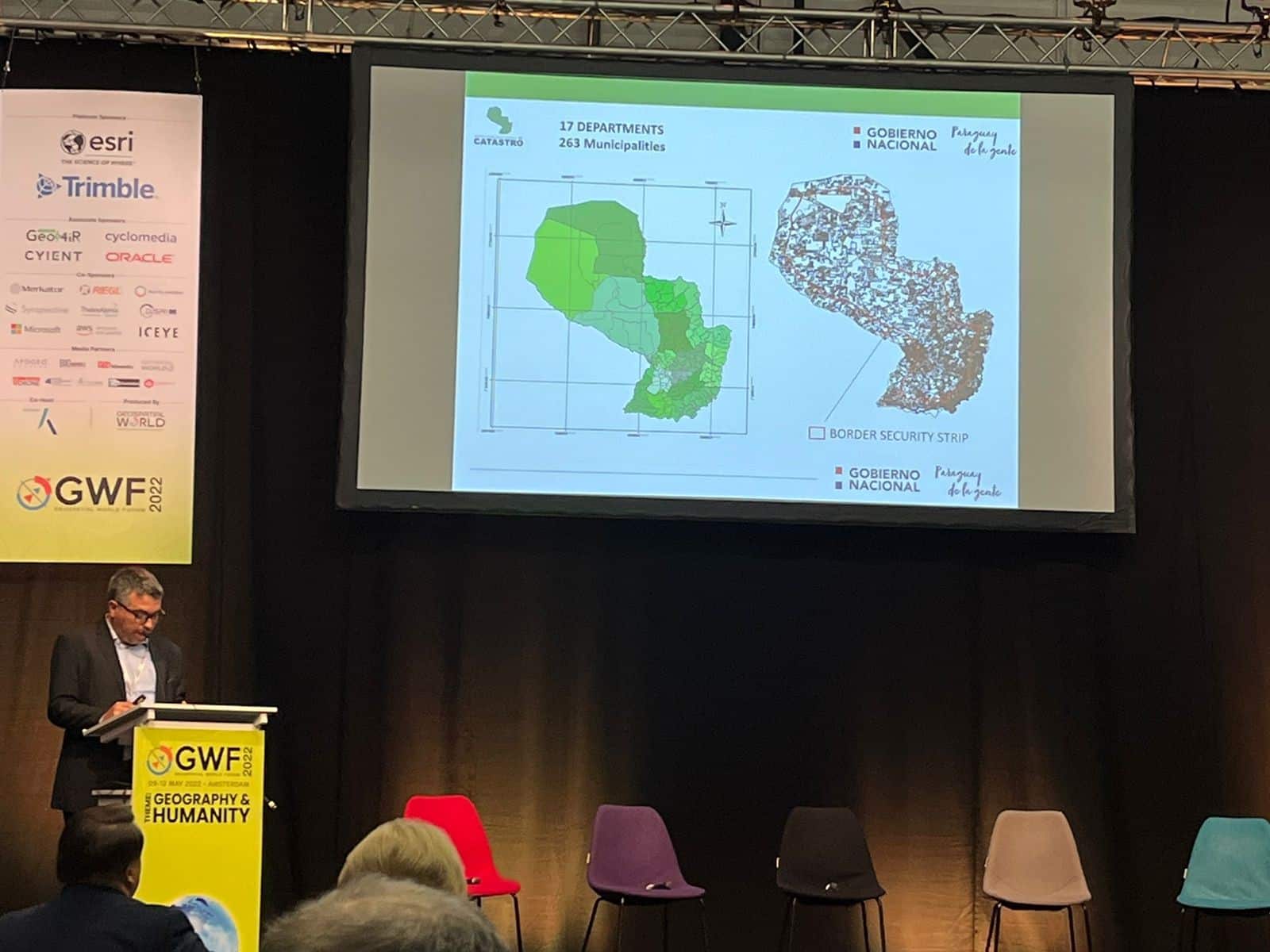
Participants of this panel were Buyandelger Myagmarsuren, Deputy Director, Agency for Land Administration and Management, Geodesy and Cartography, Mongolia, Lic. Milner Estigarribia, Coordinador de Tecnica Catastral, Servicio Nacional de Catastro, Ministerio de Hacienda, Paraguay, Jill Saligoe-Simmel, Ph.D., Principal Product Manager Integrated Geospatial Infrastructure, Esri, USA, Ibrahim Cankurt, Head of Mapping Department, General Directorate of Land Registry and Cadastre, Turkey, and Jean-Philippe Lestang, Deputy Managing Director Business and Development, IGN-FI.
In a two-hour-long discussion, all five panelists discussed in detail about strengthening of geospatial infrastructures in land administration to achieve different goals under the United Nations’ SDGs.
The basic geospatial infrastructure characteristic is interoperability. The ability of different systems and devices or applications to connect, in a coordinated manner, across organizational boundaries to access, exchange, and cooperatively use data amongst stakeholders. It means interoperability of Spatial Data Infrastructure(SDI) helps the work of GIS practitioners to use other people’s data more easily and more quickly than they could in the past.

In Mongolia, the establishment of SDI in land administration has reduced the time of land registration and issuing of the certificate from months to a minute and increased revenue.
“After setting up of national SDI (NSDI) infrastructure, people’s work related to the cadastral map, reference, and review conclusion and issuing of land registration certificates done in one minute,” said Buyandelger Myagmarsuren, Deputy Director, Agency for Land Administration and Management, Geodesy and Cartography, Mongolia. “Earlier, they used to wait for a minimum of six months and spend money on it” he claimed.
According to Mr. Myagmarsuren, in the past six months, more than 68 thousand people in Mongolia benefited from this NSDI and saved up to USD 360 thousand.
A successful land administration geospatial infrastructure has also been established in Uganda which helps increase land tenure security, promotes access to finance and investment, and efficiency in land market dynamics which further increases revenue.
“Development of complete system integrating all land related transaction – a first step towards building up of land administration geospatial infrastructure,” said Jean-Philippe Lestang, Deputy Managing Director Business, and Development, IGN-FI, involved in the creation of NSDI in Uganda.

Global leaders in the land administration industry and their organizations have shown their interest in evolving the business model of land administration through the development of spatial data infrastructure(SDI).
According to United Nations Refugee agency data, the world is witnessing silent and violent conflict over land which caused displacement to 68.5 million people, either in their own countries or living in other countries since WW II. The global megatrends such as climate change, migration, population growth, pressure on natural resources, food security, and rapid urbanization have increased intense competition over access to land and natural resources which fomented conflict.
To a faster reduction in global conflict and move toward peace, we need to collaborate across the borders to create regional and national SDI for land administration.
“Collaboration is the key across the border for creating integrated geospatial infrastructure,” said Jill Saligoe-Simmel, Ph.D., Principal Product Manager Integrated Geospatial Infrastructure, Esri, USA. “The collaboration will enable modern GIS professionals in accessibility and management of data, spaces, and timely sharing of data with end users” she further explained.
© Geospatial Media and Communications. All Rights Reserved.