
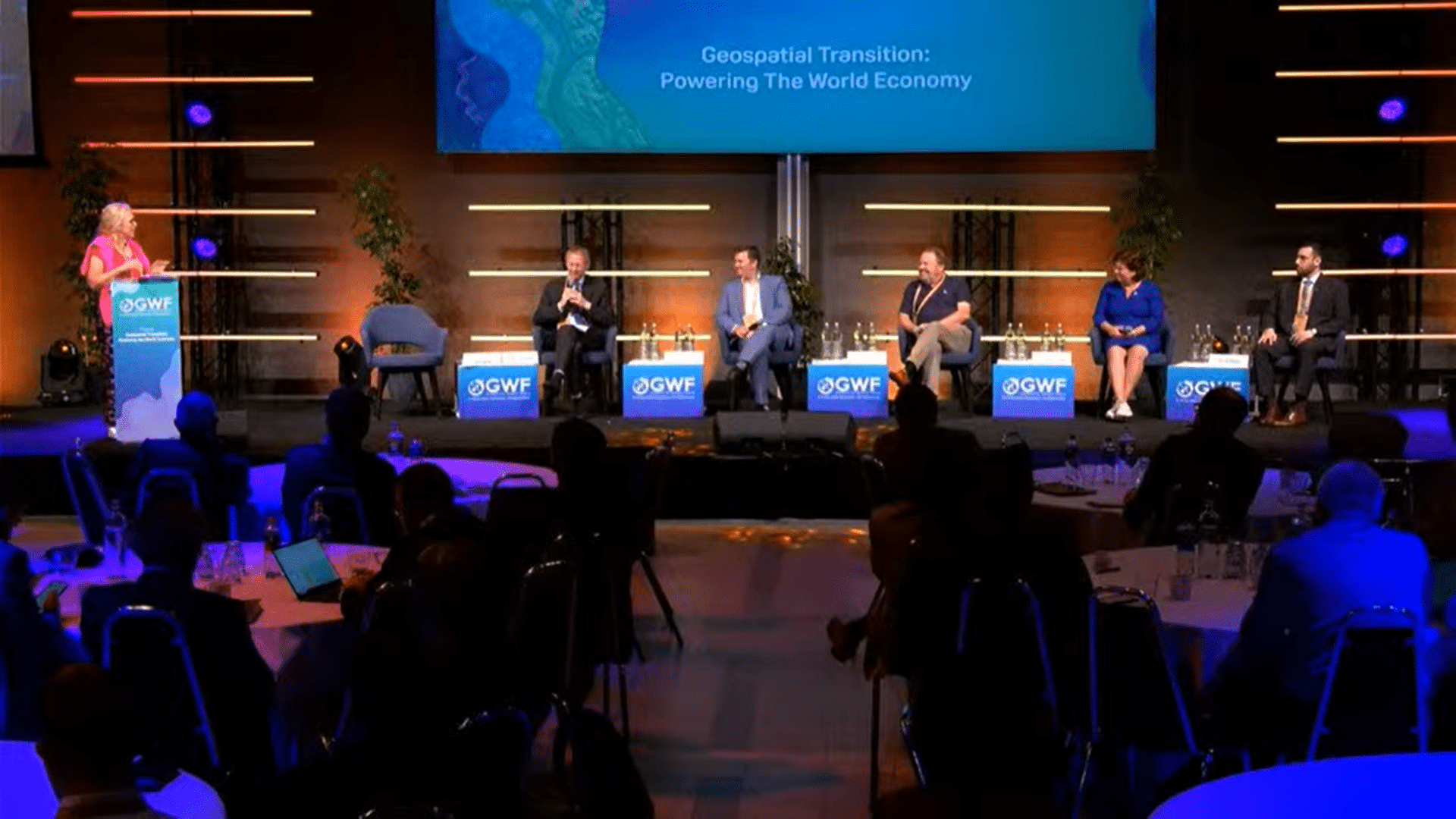
Day 2 of the Geospatial World Forum (GWF) 2024 began with discussions on the role of geospatial infrastructure and Digital Twins for developing resilient cities of the future.
Moderated by Ingrid Vanden Berghe, Administrator General, National Geographic Institute (IGN), the panel has speakers from various industries and presented their views on how Digital Twins is helping from managing, inspecting, and monitoring to mapping the infrastructures at their various stages starting from development, registering to selling the property to stakeholders.
Paul Becker, President, Federal Agency for Cartography and Geodesy (BKG) said, “We know how important it is to make quick and precise decisions to tackle global challenges today.”
He highlighted that Digital twins are used for many applications across Germany, and some of the most important topics that they are trying to find solutions are the adaptation to climate change like the heavy rain hazard indicator map, providing equal living opportunities to the citizens like the accessibility to day-care centers, police and fire fighting centers, and work on biodiversity preservation.
He said, “The main aim of the digital service model is to increase efficiency in data collecting, which means reducing costs. A Digital Twin is most effective in overcoming interdisciplinary issues and breaking the silo mentality. To ensure this, geospatial data infrastructure for the federal level has to be defined and anchored in law. Cloud is becoming extremely important for us, as data providers and we are very keen to bring the informative value as close as possible to the official data, for which we need additional transparent, quality data.”
“Digital twin allows a completely new form of data transfer, and here we are focusing on digital labs, through which decision makers can access simulated events, and this will also have positive effect on citizen participation.”
Challenges across Digital Twins
Sean Wiid, CEO, UP42 highlighted the most common challenges across all Digital Twins:
Data Integration and Management: Collecting, integrating and managing large volumes of data from diverse sources and ensuring data constituency and accuracy.
Interoperability: Ensuring that the digital twin can interact and integrate with existing systems and technologies across different platforms and industries
Scalability: Ensuring the digital twin can scale effectively to handle increased data loads and more complex simulations as the scope expands
Real-time Processing: Processing and analyzing data in real-time to provide up-to-date simulations and insights
Security and Privacy: Protecting sensitive data from cyber threats and ensuring the privacy of individuals and organizations.
Adding to the list, Geert De Coensel, CEO, Merkator said, “Currently, we have 2 main Digital Twin Challengers: Data and Time.”
“The crucial question is whether it is Big Data or Smart Data, and we cannot use the data of yesterday, today. We need real-time data. In the end we need data integrity & data quality, whether it is AI controlled, or workflow Integrated data.
User Input is of paramount importance, and above all we need citizen’s involvement. People are required to manage the city public spaces, that is how citizens create data and government validates it. I admire 3D models but in my opinion not all use cases need full 3D visualization,” he added.
Managing the complex infrastructure
Cora Smelik, Board Member, Kadaster rightly pointed out the difficulties they face while managing the properties.
She said, “These days, buildings are a lot more complex than they used to be. They do not have just roofs, but various layers between the false ceiling and the roof, like insulation panels, electricity wires etc.
“So when we register a building after it is built and up for sale, we need all the information to inspect the house before registering it.”
“As compared to 2D models, the 3D models have more information about these layers. We want all the information starting from development phase. So now we draw all the information from the 3D BIM model and put it on the 2D model for the administration and other stakeholders.”
Geospatial value for national development
Eng. Ali AlAwaji, Executive Director- Geospatial Governance, GEOSA through a detailed presentation provided an insight on how geospatial knowledge infrastructure is being used in fulfilling KSA vision 2030, bringing in alignment of geospatial value for national development.
The Vision 2023 KSA’s Infrastructure and GEOSA Contribution:
- Promoting the quality of services provided in Saudi cities
- Improving the urban landscape in Saudi cities
- Creation of special zones and rehabilitation the economic cities
The role of Geospatial Information in meeting the vision 2030 are:
- Planning tools that integrate and visualize accurate 3D geospatial data with other data, including live sensors.
- Geospatial data contribute to identifying the distribution of landscapes and locating the best sites for various applications.
- The creation of special zones in exceptional locations depends mainly on geospatial data like images and digital elevation model (DEMs).
The GEOSA of Saudi Arabia, through its National Geospatial center has developed a Digital Twin of Riyadh as part of its National Geospatial Platform initiative to enhance geospatial capabilities.
Role of GEOSA in creating a Digital Twin includes:
- Conception, Development and Deployment
- Facilitating Data Integration
- Driving Innovation and Standardization
Impact and Future Directions:
- Transformative Impact on Infrastructure Projects
- Empowering Stakeholders with Insights
- Envisioned Advancements in Geospatial Technologies


