The second and final day of GeoIntelligence 2022 was held on June 15 and divided into two simultaneous tracks — ISpA Space Track and Defense Track, besides featuring an Internal Security & Public Safety-Industry User Meet.
Some of the standout moments on Day 2 in the defense track in terms of introducing exciting new technology to defense, intelligence, and internal security came from the session titled ‘4IR Technologies in GeoInt’. The first speaker, Andrey Shumakov, Regional Director-APAC, ICEYE, exemplified the industrial ingenuity and innovation that the private sector had to offer to public defense.
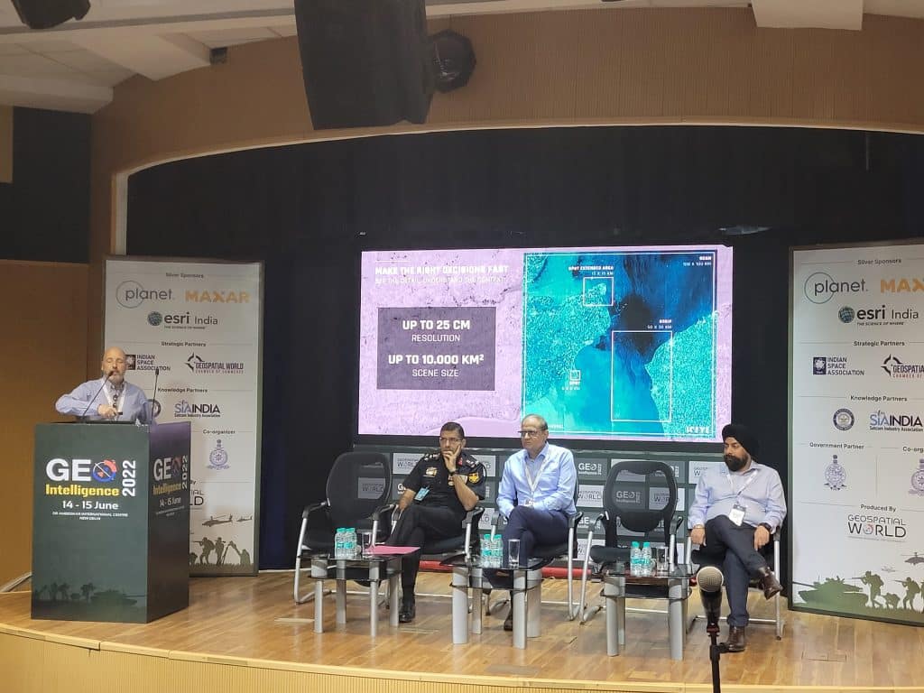
Shumakov began by displaying a Synthetic Aperture Radar (SAR) image of the Indira Gandhi International Airport of New Delhi. “What are the advantages of this imagery? Why are we doing what we’re doing? The answer is simple. We need to understand what our adversary is doing at any given point of time; collect intelligence information for the common operating picture. Space overhead platforms have been an integral part of this concept.”
He explained how SAR helps to overcome obstacles for these overhead platforms through cloud cover, at night, etc., and how New Space is flexible and agile besides being more inexpensive and hence capable of greater efficacy.
Brigadier Sandeep Chaudhary VSM, Indian Army, spoke on the Fourth Industrial Revolution (4IR) — how it facilitated the overcoming of the divide between the biological, physical, and digital worlds. “GeoInt is simply put across as multiple layers that can tell me where I am, where my friends are, where my enemies are, where the obstacles are, how do I navigate, and what is the environment. When you merge these, there is a bouquet of technologies that we call ‘disruptive technologies’.” Brigadier Chaudhary went on to speak about the changes emerging in contemporary warfare and how it was reshaping geopolitics.
Dr. Rajkumar Upadhyay, Executive Director, CDoT, elucidated solutions to some of the current challenges in defense. He stressed how 5G and the Internet of Things (IoT), in particular, would be game-changers. “Unlike 4G, there are applications that can be run on both very low and very high bandwidth. A lot of data is also being generated with the presence of many types of sensors.” He also outlined how machine learning, artificial intelligence (AI), and Big Data would play key roles in ushering a new era for geospatial intelligence while cautioning that standardization of data could not be forgone.
The final speaker was Wing Commander Devinder S. Chawla (Retd.), Director & CEO, iGeo Consultants who listed the various applications of satellite data, AI-enabled solutions based on the ‘Software-as-a-Service’ model and the thrust that these were providing to defense agencies in gathering geospatial intelligence.
© Geospatial Media and Communications. All Rights Reserved.