
Hyderabad, February 9, 2015: Collaboration between the SAARC nations was the buzzword at the South Asia Geospatial Forum which kicked-off in the morning of February 9, 2015 at HICC, Hyderabad. Setting the tone for the discussions for the day, YS Chowdary, Minister of State for Science and Technology & Earth Sciences, in his inaugural address, made a strong pitch to the delegates representing SAARC nations, urging them to collaborate with each other and use geospatial technology to solve various problems of the region.

“While each country suffers from its own issues, it is the need of the hour to collaborate with each other. SAARC countries need to put in concerted efforts, build on each other’s strengths and develop solutions that would enable faster decision making and solve issues. It’s not time for competition and confrontation, it’s time collaboration,” he said.
Later in the day, representatives from different SAARC countries unequivocally agreed to create a working group for regional collaboration in geospatial technology. They also agreed that mere exchange of ideas would not be enough, and that it was important to pool in both economic and human resources to solve the issues plaguing the SAARC region.
The discussion concluded with the delegates committing to prepare a draft paper detailing areas of collaboration which includes — but will not be limited to — agriculture, disaster mitigation, terrorism and crime, satellite imagery and navigation, among others.
Welcoming the move, S Subba Rao, Surveyor General of India, announced that the first session of the SAARC Working Group will be hosted by India.
Who Said What
|
|
|

|
|
|

|
|
|

|
|
|
|
Madhu Sudan Adhikari, Director General, Department of Survey, Nepal |
|

|
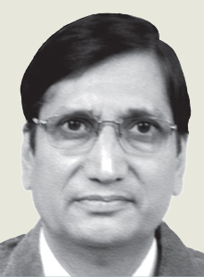
Brigadier General Md Abdul Khair, Surveyor General & Head, Survey of Bangladesh |
|

Source: Our Correspondent

