
UK: Data science company ASI has developed a new online map and search engine for London that enables you to discover exactly how polluted your local park is. The map reveals that the NO2 levels in all of London are so bad that after consulting it you might be tempted to stay indoors, breathing through an oxygen mask.
A chart created based on the map, shows most of London’s public open spaces manage to stay below the agreed E.U. safe limit of 40 μg per cubic meter. But a large number exceed these limits; in Central London, it’s practically all of them.
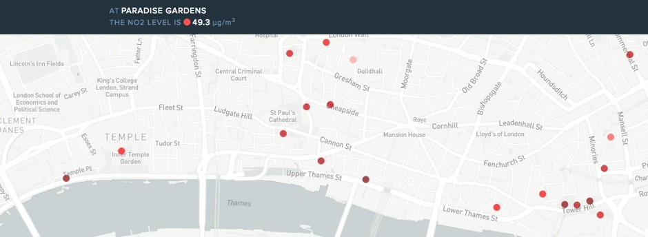
For anyone familiar with London, browsing the map can make interesting, if sobering viewing. Some of the most polluted of the city’s parks contain more than double the acceptable limit of μg of NO2 per cubic meter.
London’s worst figures are actually for what is a small patch of garden: Whittington Garden, a small oblong of greenery located next to a busy, four-lane route through London’s financial district, where NO2 levels reach 99.5 μg per cubic meter. It’s no surprise that the air is dirty in such an exposed spot.
Thankfully, London is making some changes that could improve things. This autumn, the city is getting an early warning system to alert people to pollution peaks. And starting in 2017, more polluting vehicles will have to pay an extra fee on top of the existing congestion charge to drive into central London, while Oxford Street, sometimes called the world’s most polluted street, will be pedestrianized by 2020.
Such measures suggest an easing of pollution through light tinkering, rather than the true life-saving modal shift London needs. Still, widespread public awareness of how bad London’s air pollution is remains a fairly recent phenomenon. Maps pinpointing where parkland air is poor, or public displays and text messages warning of a brownout, won’t clean London’s air. But they might help create awareness that could push Londoners into real action.

