GW CONSULTING
GW EVENTS
GW MEDIA
ABOUT US
Search
Login
Logout
My Profile
Subscribe/Trial
Prime Stories
Special Features
Technology & Innovation
Business & Industry Trends
India
Interview
Opinion
Case Study
AEC
Business Intelligence
National Mapping
Sustainable Development
Agriculture
Defense & Security
Video
Podcast
Prime Stories
Special Features
Technology & Innovation
Business & Industry Trends
India
Interview
Opinion
Case Study
AEC
Business Intelligence
National Mapping
Sustainable Development
Agriculture
Defense & Security
Video
Podcast
GIS
GNSS
EOS
LiDAR
Location & BI
AEC
Autonomous
Sustainable Development
More
News
Articles
Blogs
Hall of Fame
Videos
Events
Newsletter
GIS
GNSS
EOS
LiDAR
Location & BI
AEC
Autonomous
Sustainable Development
More
News
Articles
Blogs
Hall of Fame
Videos
Events
Newsletter
Home
Innovations
Remote sensing
Page 2
Latest
Latest
Featured posts
Most popular
7 days popular
By review score
Random
Remote sensing
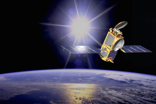
First joint France-China satellite to study oceans
News Desk
-
10/24/2017
Remote sensing to identify illegal constructions in Indian city
News Desk
-
09/26/2017
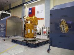
First images captured by Taiwanese FormoSat-5 are blurred and hazy, adjustments will take...
News Desk
-
09/20/2017
Airbus to reshape earth observation market with Pleiades Neo constellation
News Desk
-
09/13/2017
Teledyne brings full spectrum of remote sensing technology to Esri UC
News Desk
-
06/29/2017
ULA launches WorldView-4 satellite for DigitalGlobe
News Desk
-
11/14/2016
Pakistan to launch remote sensing satellite in 2018
News Desk
-
10/19/2016
SI Imaging Services opens market for Ultra-HD satellite imagery
News Desk
-
10/06/2016
Open learning course shows how satellites aid understanding of the oceans
News Desk
-
09/30/2016
USGS-NASA Pecora award recognizes excellence in earth observation
News Desk
-
09/22/2016
USGS, ISRO sign agreement of cooperation for Earth Observation
News Desk
-
08/28/2016
NRSA to conduct study on Mahanadi to ascertain reason for siltation
News Desk
-
08/09/2016
Researchers find ‘lost’ Fort San Marcos using remote sensing
News Desk
-
07/26/2016
EO for Global Health: GEO welcomes World Health Organization participation
News Desk
-
07/13/2016
SIIS starts KOMPSAT-3A commercial services
News Desk
-
07/06/2016
Google Maps, FAO come together to combat climate change
News Desk
-
07/05/2016
China aims to launch 14 meteorological satellites by 2025
News Desk
-
07/05/2016
Scientists in Vietnam invents air pollution warning system
News Desk
-
07/04/2016
Researchers use remote sensing to find hand-dug tunnel from WWII
News Desk
-
07/01/2016
Taiwan seeks Japanese satellite services until the launch of FORMOSAT-5
News Desk
-
07/01/2016
DigitalGlobe signs contract to provide World Imagery Map for ArcGIS platform
News Desk
-
06/28/2016
ISRO launches PSLV-C34 carrying record 20 satellites. ‘Job done,’ says ISRO...
News Desk
-
06/22/2016
ISRO to launch EO satellite with 19 other co-passenger sats on...
News Desk
-
06/20/2016
ESA appoints Josef Aschbacher as new Director of Earth Observation programs
News Desk
-
06/17/2016
Researchers found new monumental platform in Jordan through remote sensing
News Desk
-
06/10/2016
APAC Satellite based EO Market to grow at CAGR 16.79% by...
News Desk
-
06/08/2016
Philippines’ microsatellite DIWATA-1 captures seaboard of Isabela during test run
News Desk
-
06/06/2016
Load more