


Overview
The Geospatial World Forum 2026 will feature a 90-minute technology program on Spatial Computing & Digital Twin, highlighting its transformative impact across key GWF 2026 sectors including Geospatial Knowledge Infrastructure, Utilities & Networks, Space-to-Earth, Climate Resilience, Disaster Management, Capacity Development, and other spatial and communication-driven domains.
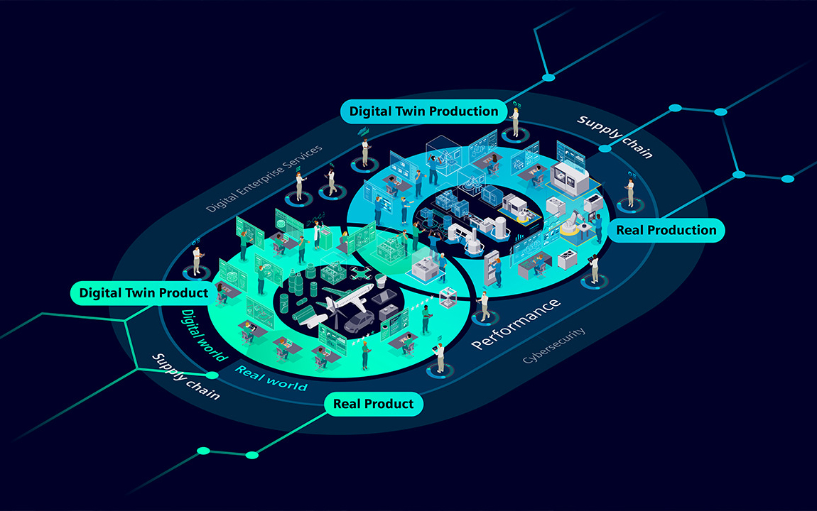
Spatial Computing and Digital Twin technologies are redefining how we model, analyze, and interact with the physical world. By combining real-time spatial data, IoT networks, sensors, and 3D modeling, they create virtual replicas of real-world assets and systems to enable simulation, prediction, and intelligent decision-making. In the geospatial sector, they enhance urban planning, infrastructure management, and environmental monitoring, while in the space domain, they support satellite mission design, orbital modeling, and spacecraft maintenance. Their applications span smart cities, energy, transportation, defense, manufacturing, climate resilience, and space exploration, improving efficiency, safety, and sustainability through real-time insights and immersive visualization. Despite their potential, challenges such as data interoperability, scalability, and cybersecurity remain.
At GWF 2026, this track will highlight how Spatial Computing and Digital Twin technologies strengthened by AI, cloud computing, and geospatial analytics that are connecting the physical and digital worlds to build a more intelligent, resilient, and sustainable future.