


Overview
The Geospatial World Forum 2026 will feature a 90-minute technology program on LiDAR & Scanning, highlighting its transformative impact across industries like AEC (Architecture, Engineering, and Construction), Geospatial Knowledge Infrastructure, Utilities & Network, Defence & Intelligence, Capacity Development, Space2Earth, Climate Resilience and Disaster Management, Hydrospatial Infrastructure and Blue Economy, Agriculture, Land & Property.
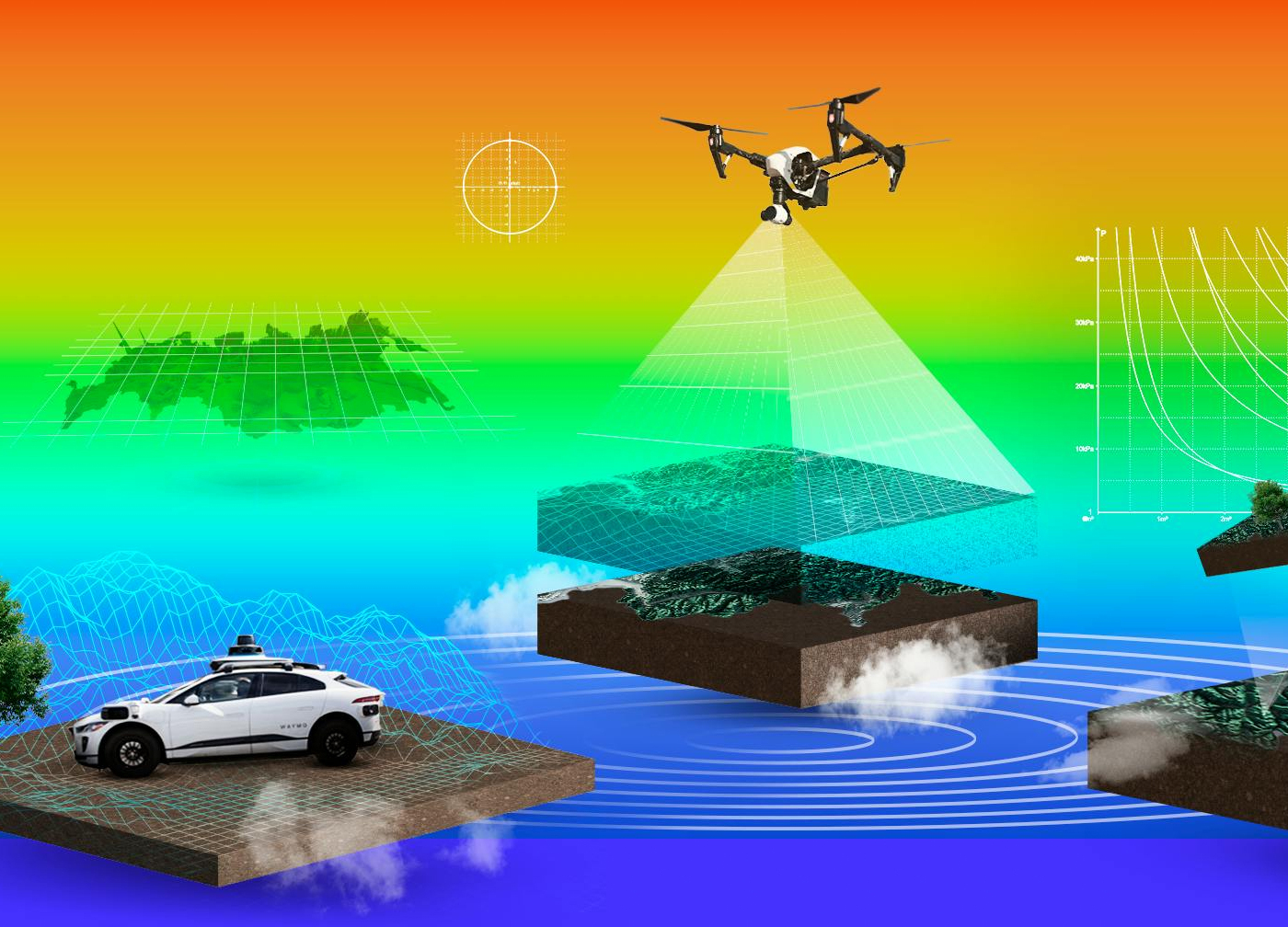
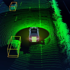
LiDAR (Light Detection and Ranging) and advanced 3D scanning technologies are transforming how we capture, analyze, and visualize the world from Earth’s surface to extraterrestrial terrains. By emitting laser pulses to generate high-density point clouds and digital elevation models, LiDAR delivers millimeter-to-centimeter precision essential for mapping, modeling, and monitoring complex environments. In the geospatial and space sectors, LiDAR plays a crucial role in topographic mapping, infrastructure assessment, forest monitoring, and planetary exploration. Airborne, terrestrial, and mobile LiDAR systems support urban mapping, flood modeling, and construction planning, while spaceborne and rover-mounted sensors enable lunar and Martian surface studies, navigation, and habitat design. Across sectors such as transportation, infrastructure, forestry, energy, disaster management, and space exploration, LiDAR enhances applications like digital twins, smart city planning, precision agriculture, and resilient infrastructure development. Despite its advantages, challenges such as large data volumes, sensor calibration, standardization, integration with other datasets, and high equipment costs remain significant.
At the same time, leading opportunities, including AI-driven point cloud analytics, drone-mounted LiDAR, miniaturized sensors for space missions, and real-time 3D modeling that are expanding the technology’s reach and efficiency. As LiDAR converges with AI, IoT, and cloud computing, it is becoming central to autonomous systems, digital twins, and planetary mapping.