India Europe Space and Geospatial Business Summit
Tuesday, 22nd April Hall - Dresden & Stuttgart
Session Highlight
- The Indian and European space and geospatial markets are being reshaped by progressive policies, increased investments, and innovation-led growth.
- India's growing digital and startup ecosystem presents strong synergies with Europe's advanced capabilities in Earth Observation, AI, and digital twin applications.
- National institutions and public-private partnerships play a pivotal role in driving cross-border cooperation, policy harmonization, and technology co-development.
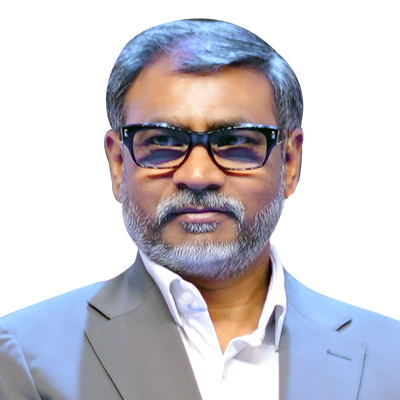
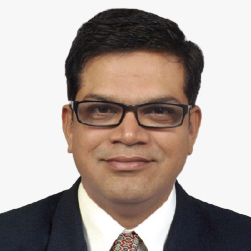
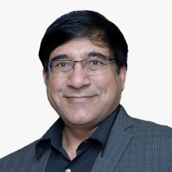
Moderator
Sanjay Kumar
Chief Executive Officer
Geospatial World
India
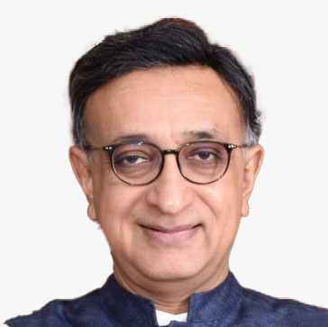
Srikant Sastri
Chairman
i3g Advisory Network and Geospatial Data Promotion & Development Committee (GDPDC)
India

Nick Bolton
Chief Executive Officer
Ordnance Survey
UK

Paul Becker
President
Federal Agency for Cartography and Geodesy (BKG)
Germany
Session Highlight
- National mapping agencies and private players are increasingly co-developing advanced mapping solutions, enabling richer datasets and real-time decision-making capabilities.
- Cross-border collaboration is unlocking innovations in cadastre, topographic mapping, and integration with emerging technologies like AI, digital twins, and cloud GIS.
- Harmonizing standards, improving data interoperability, and fostering open data ecosystems are central to building scalable and collaborative national mapping frameworks.

Moderator
Sanjay Kumar
Chief Executive Officer
Geospatial World
India

James Norris is Head of International Affairs at Ordnance Survey where he works to promote the vital role that geography and geospatial data has in transforming economies, sustaining the environment, and making the world a better place.
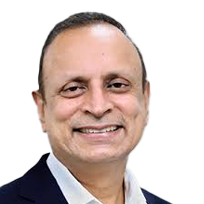
Anup Jindal
Chief Executive Officer
RMSI
India

Arjen Crince
Technical Director
iSpatial Techno Solutions (IST)

Venkata Rajanikanth Muppalla
Head - Geospatial strategy & Go-To-Market (GTM)
Tech Mahindra
India
Session Highlight
- Advancements in small satellite technologies and launch systems are accelerating the deployment of space infrastructure for real-time, application-oriented services.
- India-Europe collaborations are opening new pathways for co-developing EO missions, shared data platforms, and analytics tailored to regional and global needs.
- Strengthening the downstream ecosystem requires integration of space assets with digital tools, public policy frameworks, and sector-specific use cases for maximum impact.

Moderator
Swati Mittal
Director
Geospatial World
India

Ignacio Mares
Corporate Development Officer
Satlantis
UK

Sanjay Nekkanti is the CEO and founder of Dhruva Space, a full-stack Space-Engineering solutions provider. Under his leadership, Dhruva Space has become a key player in India's rapidly growing Space ecosystem, delivering cutting-edge Space engineering solutions for both Commercial and Government clients. Sanjay's career spans a diverse range of significant projects, including India's first student-built nanosatellite project, SRMSAT, launched in 2011, as well as the 2013 Velox-P mission, a collaborative initiative between India and Singapore.
Nekkanti has a Bachelor's degree in Electronics & Telecommunication Engineering from Sri Ramaswamy Memorial University, Chennai. He is also an EGIDE scholar, and has two Master's degrees; one in Space Technology and the other in Spatial Techniques & Instrumentation from Europe, through the Erasmus Mundus SpaceMaster programme.
Owing to Dhruva Space's achievements, Sanjay has been featured in Fortune India's 40 Under 40 in 2022, Forbes India DGEMS 200 for 2023, and as Startup Story's Founder of the Year 2024, and Dhruva Space has been recognised with two Government of India awards: the National Startup Award by the Government of India for its efforts in Satellite and Space Technology, and the Pandit Deendayal Upadhyaya Telecom Skill Excellence Award 2022, instituted by the Ministry of Communications, for Dhruva Space's work in the field of Satellite Communications.

Chandra Prakash Singh
Deputy Director
IN-SPACe
India

Rupesh Kumar
Chief Technical Officer
Suhora
India

Antonio Hernandez
Business Development Manager
GEOSAT
Session Highlight
- The convergence of geospatial technologies with BIM and Digital Twin platforms is enabling data-driven infrastructure development and asset management.
- India and Europe are fostering innovation through public-private projects that demonstrate the value of real-time monitoring, predictive analytics, and simulation models.
- Scalable adoption of BIM and Digital Twins requires aligned standards, robust data frameworks, and multi-stakeholder collaboration across the project lifecycle.

Geert De Coensel
Chief Executive Officer
Merkator
Belgium
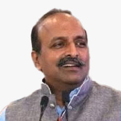
Kunal Satyarthi
Joint Secretary
Department of Land Resources
India


