Excellence Awards 2025
With an authentic history from 2007, Geospatial World Awards are an internationally acclaimed and premium awards recognizing model practices in the global geospatial industry. With the ceremony taking place at Geospatial World Forum every year, the awards have recognized over 200+ organizations till date.
Under the Excellence Awards, we have three main categories that are given to Organizations
Application Excellence Awards
These awards commemorate exemplary usage and application of geospatial tools and solutions in various industries.
Note: Application Excellence Awards is strictly conferred to project owner/user not the contractors or technology developers/providers.Technology Innovations Awards
Disruptive innovation that drives wider adoption of geospatial technology in the mainstream.
Note: Opens to product offerings by technology companies with innovative integration of AI, ML, IoT, Cloud, PNT, Digital Twins, Metaverse, etc. If you’re nominating an application, please choose the Application Excellence category. Nominations in the wrong category will be considered as invalid.Policy Implementation Awards
Empowering the organisations or agencies that are enabling the implementations of public policies directly impacting the development of geospatial science, technology and businesses or even state/national policies that have a major geospatial technology use in the public policy implementation.
Note: The nominated policy must be in effect and implemented, not a policy paper.Ready for the Spotlight?
A guest pass is given to the winners for the conference, and you may have a presentation slot to share your story.
Make sure to block your calendar!
2025 Awardees

Excellence in
Downstream Space
Copernicus EMS & Spanish NGI - National Geographic Institute

Excellence in Spatial Computing and Digital Twin Enterprise
3DProjectPlanner by the Hamburg Authority for Urban Development and Housing
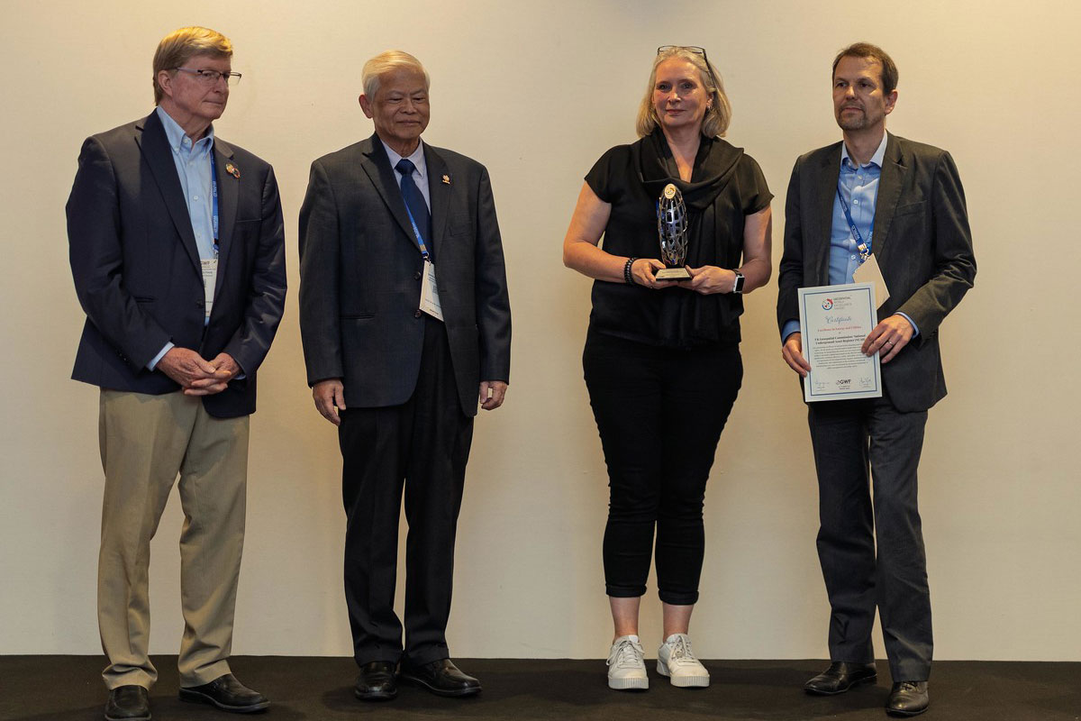
Excellence in
Energy and Utilities
Geospatial: Government Digital Service National Underground Asset Register (NUAR) project.
Excellence in Environmental
and Social Impact
Zurich University of Applied Sciences & University of Zurich: Spatial Sustainable Finance
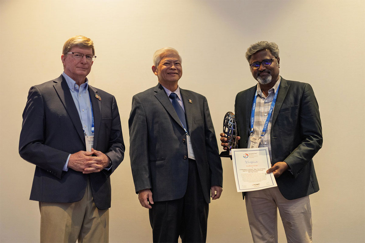
Excellence in
AEC
LTIMindtree: LMNoP- Map-Based Mobile App for Optimizing Construction Site Operations
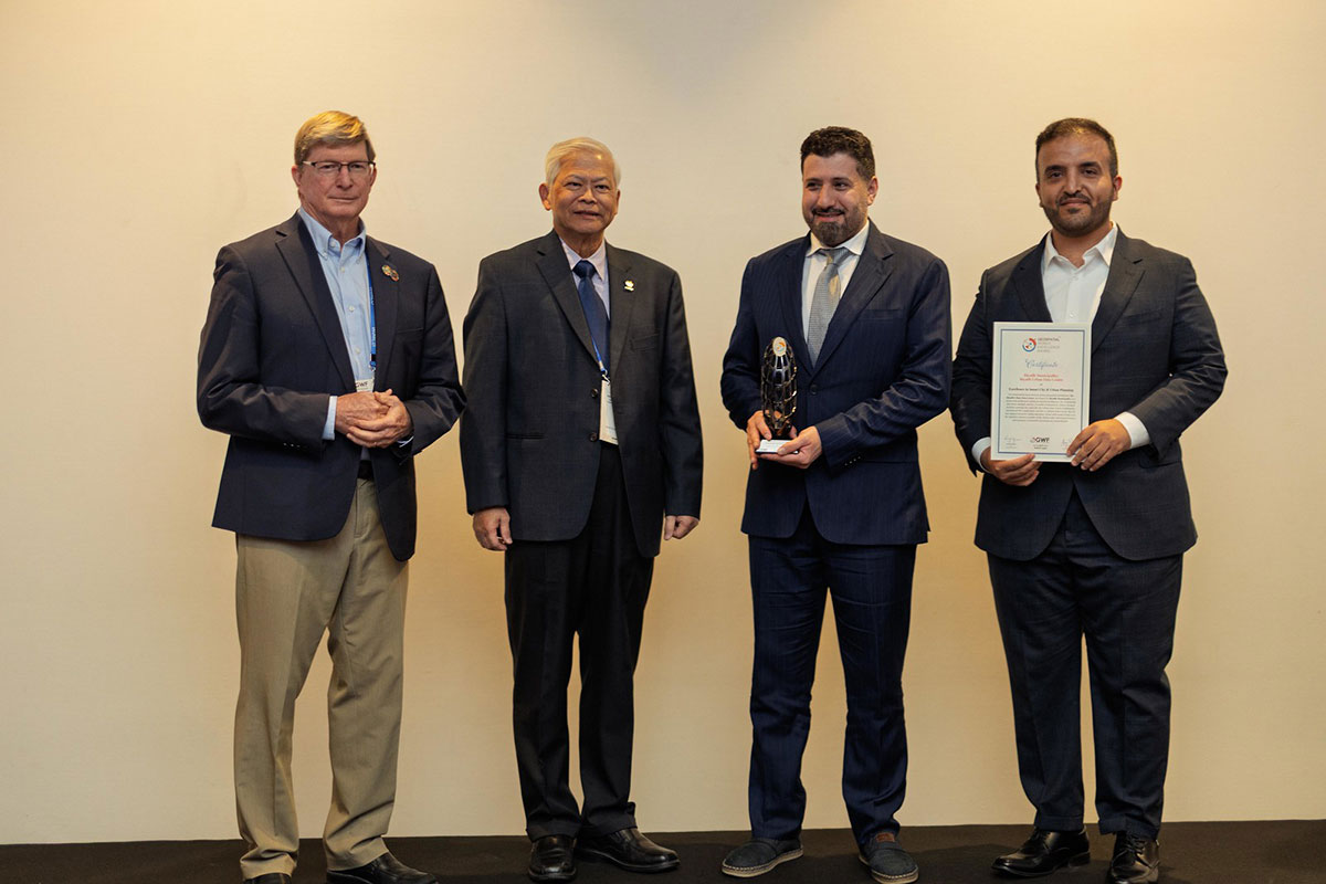
Excellence in Smart
City & Urban Planning
Riyadh Municipality’s Urban Data Centre
Excellence in
Land Administration
SMART GEO SABAH—an initiative by the Lands and Surveys Department Sabah

Excellence in
Business Intelligence
Cognizant for Intelligent Work Allocator for Geospatial Services
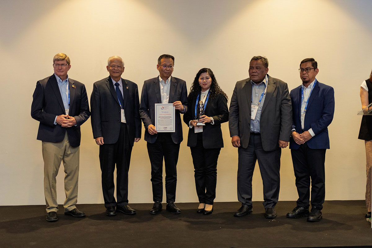
The Award Policy Implementation
Urban Mapping goes to India’s National Geospatial Knowledge-Based Land Survey – NAKSHA Department of Land Resources, MoRD, GoI,
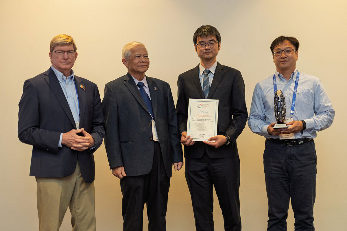
Policy Implementation
HD Mapping Standards & Guidelines goes to Ministry of the Interior (ROC), R.O.C. Taiwan,
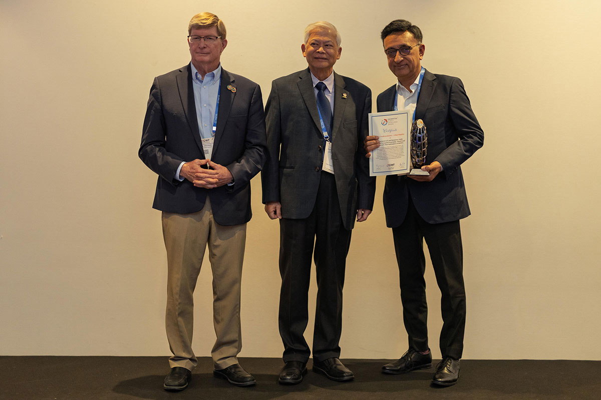
Policy Implementation through
Public-Private Partnership
Geonovum and Ministry of Infrastructure and Water Management, The Netherlands

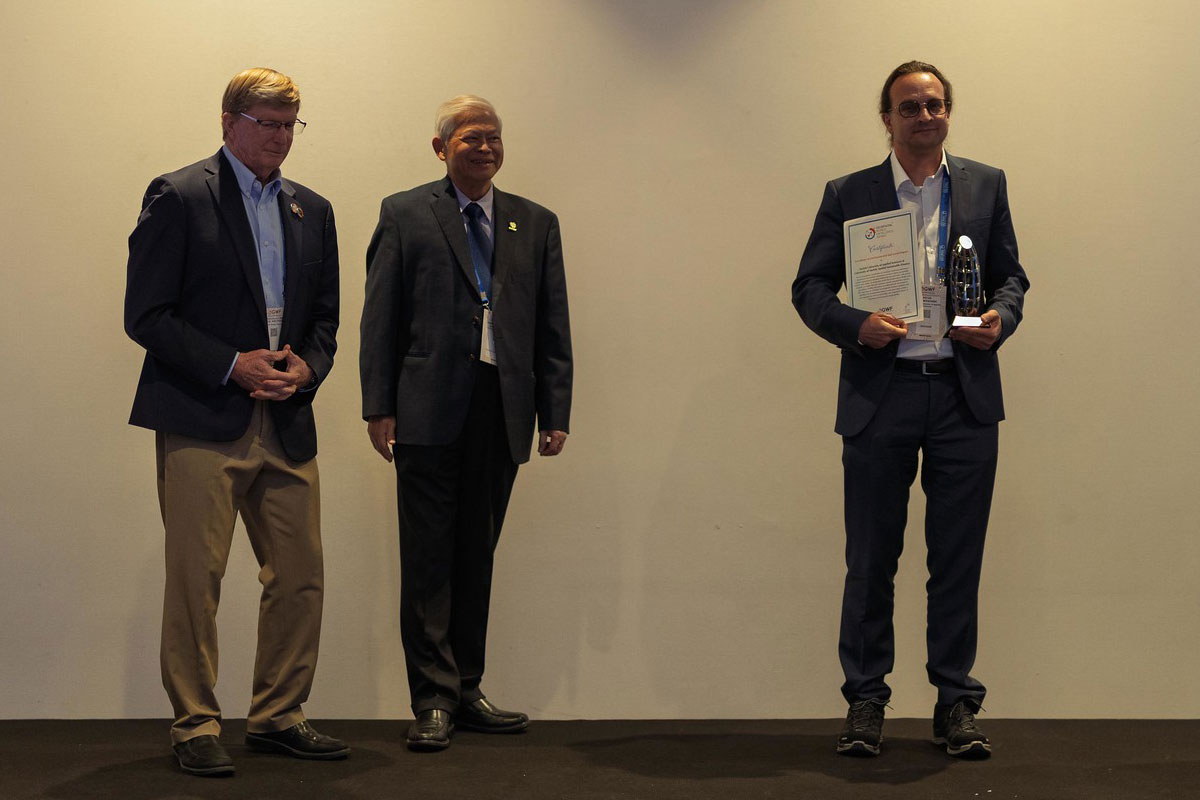
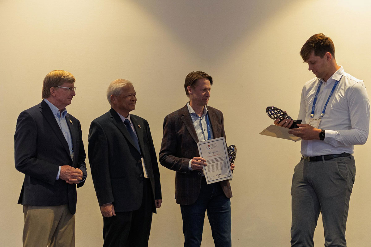
Innovation in
PNT and GNSS
Fixposition for their Vision-RTK2.