HD Mapping
Theme: Next Developments and Impacts Through HD Mapping
Concept Note
High-Definition (HD) Mapping is revolutionizing infrastructure planning, land management, and transportation systems by enabling precise, dynamic, and intelligent spatial representations. This summit brings together experts to discuss the latest advancements in HD Mapping, its applications, and its transformative potential in national-scale projects. Governments and industries are increasingly relying on high-resolution global vector maps for security, asset monitoring, and ensuring positional precision for sustainable development initiatives to management of services and much more. This summit aims to foster discussions on HD Mapping’s evolving role in shaping the future of digital infrastructure, ensuring smarter decision-making, and driving national-scale digital transformation.
Speakers

Ayushi Mishra
COO
DronaMaps
India
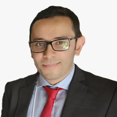
Suliman Gargoum
Co-Founder and Advisor
Nektar 3D Consulting Inc
Canada
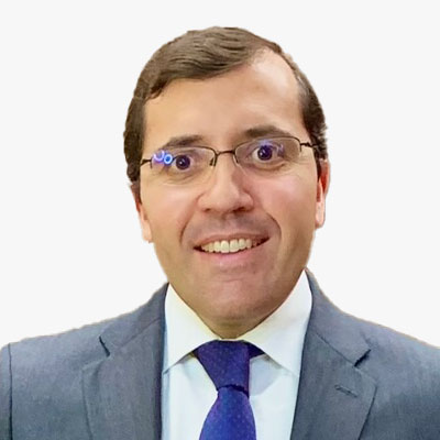
Efren Diaz is a Lawyer and Doctor of Law, Senior Associate at Mas y Calvet Law Firm (Madrid), where he leads the Technology and Space Law departments. A specialist in Administrative, Technological, and Geospatial Law, he serves as a Data Protection Officer in Europe across sectors such as finance, legal, and healthcare. Author of Spain's Geospatial Code (BOE), he holds an award-winning Master's in Data Protection and is a member of organizations like INSPIRE (European Commission), ISO/TC 211, and the Spanish Association of Aeronautical and Space Law, where he is Secretary General. He also teaches at universities such as Navarra and Comillas and conducts research with institutions like the Open Data Institute (UK).
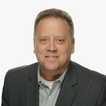
Pieter joined Raytheon in 2018 and currently serves as the business development lead for Raytheon's USG, commercial, and international geospatial programs. In this role he maintains broad awareness of, and engages with, commercial companies, and US and international government customers. He also supports Raytheon's basic and applied research in support of Raytheon and customer technical objectives. Notably, Pieter has a patent filed with Raytheon for 3D SAR processing, which Raytheon now sells commercially.
Prior to joining Raytheon Pieter served 25 years as a USG civilian on national reconnaissance programs in various operations, system engineering, and acquisition roles. Throughout his government career he was known for his innovation, energy, and adding many new capabilities into the geospatial catalog.
Pieter holds a master's degree in mathematics from SUNY Albany, and a bachelor's degree in applied mathematics from Union College in Schenectady, NY.

Chih-Yun Hsieh
Project Manager
High Definition Maps Research Center
Taiwan
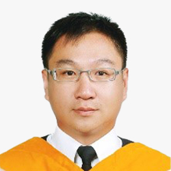
Meng-Lun Tsai received his Ph.D. degree from the Department of Geomatics, National Cheng Kung University, Taiwan. He is interested in the development of next generation's multi-sensor fusion such as GNSS modernization, inertial navigation system, lidar, digital photogrammetry, and mobile multi-sensor mapping systems. He is also focusing on the operation, verification, validation, data contents, and formats standard of High Definition Maps.
