
ONE NATION, ONE MAP
Advancing Geospatial Infrastructure for National Sovereignty and Economy
GeoSmart India: Celebrating 25 Years of Driving India's Geospatial Transformation
2025 marks a historic milestone — the 25th Silver Jubilee edition of GeoSmart India, a platform that has, for over two decades, shaped the geospatial narrative of the nation. From creating awareness about geospatial technology to initiating dialogues on geospatial policy and facilitating collaborations across diverse domains — Agriculture, Urban Development, BFSI, Land & Property, Disaster Management, Defence, and more — GeoSmart India has been the epicenter of India’s geospatial awakening and action.
This year, we elevate the experience with the launch of the GeoSmart India EXPO — a comprehensive and dynamic exhibition ecosystem, embedded with experiential learning, state showcases, and cutting-edge innovation. This transformation marks a shift from just an exhibition to a powerful knowledge and networking hub.
One Nation, One Map
Advancing Geospatial Infrastructure for National Sovereignty and Economy
One Nation, One Map envisions a unified digital geospatial platform that brings together all Indian states and union territories under a single, standardized mapping framework. This initiative aims to replace fragmented, state-specific mapping systems with a comprehensive and interoperable digital map of India, ensuring data consistency, accuracy, and accessibility across administrative boundaries.
By integrating geospatial frameworks at the national, state, and local levels, the initiative lays the foundation for cohesive planning, seamless data exchange, and collaborative governance across ministries, departments, and state governments. This unified map will power a wide range of public programs—from infrastructure development, land and water management, and smart city planning, to disaster response, resource monitoring, and climate resilience.
"One Nation, One Map" is not just a vision—it’s a strategic step toward building a digitally connected India, where all states contribute to and benefit from a shared geospatial infrastructure. The result is a smarter, faster, and more inclusive approach to national development—one map, one mission, one future.
Who Should Attend?
Government & Public Sector Leaders
Policymakers, planners, and administrators aiming to harness geospatial technologies for better governance, infrastructure planning, public service delivery, and data-driven decision-making.

End-User Industries
Stakeholders from sectors like agriculture, forestry, energy, water, disaster management, urban development, and climate resilience who are adopting geospatial solutions to drive efficiency and innovation.
Professional Experts & Consultants
Strategists, advisors, and technical consultants supporting implementation of geospatial projects at national, state, and local levels—bringing in domain expertise and operational insight.

Technology & Industry Leaders
Geospatial tech companies, system integrators, software developers, and infrastructure enablers offering tools, platforms, and services for the digital transformation of India.
Innovation & Startup Ecosystems
Incubators, accelerators, startups, and R&D centers developing next-generation geospatial solutions aligned with national development goals.
Academia & Future Talent
Universities, research institutions, and students from India and abroad seeking exposure, collaboration, and opportunities in the rapidly growing geospatial sector—through the dedicated Education Fair.
Many More..
Expo at #GSI25
India’s Largest and Leading Geospatial and Allied Technology Conference & Exhibition
The Expo offers a vibrant and immersive platform featuring innovative technologies, live demonstrations, state showcases, and interactive experiences.
More than just an exhibition, the Expo is a dynamic hub for knowledge exchange, strategic networking, and forging impactful collaborations that drive India’s geospatial future. Whether you're a startup, government body, or private organization - this is where your ideas grow and connections thrive.
8000 SQM EXPO SPACE
Avail Early Bird Discount Now!Why Exhibit?
- Showcase Ideas at Scale: Exhibit across 8000 sqm of dynamic space featuring product demos, live tech applications, and immersive experiences.
- State Seminars & Pavilions: Dedicated state-focused sessions where progressive state governments will present success stories, flagship projects, and department-wide geospatial deployments.
- Engage with Decision-Makers: Connect with 500+ organisations and delegates from 50+ countries—spanning government, industry, and academia.
- Demonstrate Real-World Impact: Take the stage through live demo slots and open-stage opportunities to launch products and highlight real-time use cases.
- Collaborate with Government & Academia: Participate in state-led seminars and partner with leading academic and research institutions to drive innovation and talent development.
- Deliver & Attend Skill-Focused Masterclasses: Host or join practical tutorials on GIS, LiDAR, Drone Mapping, AI/ML, and more—ideal for professionals and students (with digital certification).
- Create Immersive Experiences: Leave a lasting impression through interactive zones—like VR smart cities, UAV fly zones, and simulations on urban planning, forest monitoring, and disaster response.
Early bird INR 25000 per sqm valid till 30th June
1st July onwards INR 27000 per sqm.
For more information write to us: [email protected]
JOIN THE COMMUNITY. SHAPE THE CONVERSATION. BE PART OF THE FUTURE AT GEOSMART INDIA EXPO 2025.
Conference Program
AGRICULTURE SUMMIT
- Discover how geospatial and remote sensing technologies are driving precision agriculture and agri-tech innovation.
- Understand policy shifts, agri-financing models, and digital advisory services empowering Indian farmers.
- Network with stakeholders across the agriculture value chain—from agri-startups to government agencies.
URBAN DEVELOPMENT SUMMIT
- Explore how smart technologies and geospatial intelligence are reshaping urban- rural infrastructure and urban utilities.
- Engage with city planners, municipal corporations, smart city ceo’s, policymakers, system integrators and technology providers on sustainable and inclusive city models.
- Learn from pioneering city development projects integrating digital twins, IoT, and AI for efficient governance.
LAND MANAGEMENT SUMMIT
- Explore how technologies like GIS, blockchain, and cadastral mapping are driving transparent and efficient land administration.
- Understand the impact of initiatives like Naksha, Bhu-Aadhaar, and DILRMP in modernizing land records, boosting real estate, and supporting infrastructure development.
- Engage with policymakers, domain experts, and state agencies leading India’s digital land governance revolution.
WATER MANAGEMENT SUMMIT
- Explore how geospatial tools, IoT, and data analytics are transforming urban water utilities through smart metering, leak detection, and asset management.
- Gain insights into national programs like AMRUT 2.0 and Jal Jeevan Mission driving integrated urban water supply, reuse, and resilience.
- Engage with municipal bodies, water boards, technology providers, and NGOs shaping sustainable water governance across Indian cities.
DIGITAL PUBLIC INFRASTRUCTURE & DIGITAL GOVERNANCE SUMMIT
- Explore how DPI platforms like Aadhaar, UPI, and ONDC are transforming service delivery and digital inclusion.
- Understand the role of location intelligence in planning, implementing, and monitoring government schemes.
- Network with architects of India’s digital governance ecosystem and tech innovators building the next wave of DPI.
CLIMATE CHANGE & DISASTER MANAGEMENT SUMMIT
- Delve into climate resilience strategies using geospatial tools for risk assessment, mitigation, and adaptation.
- Learn from real-world case studies on early warning systems, flood mapping, and heatwave management.
- Collaborate with experts working at the intersection of climate policy, geospatial intelligence, and sustainability.
NATIONAL MAPPING SUMMIT
- Unpack India's evolving geospatial ecosystem post-liberalization of mapping policy and survey of India reforms.
- See innovations in large-scale base mapping, 3D city models, and drone-based data acquisition.
- Interact with leaders from public mapping agencies, private mapping firms, and tech developers.
BLUE ECONOMY & HYDRO SPATIAL SUMMIT
- Dive into the potential of India’s coastal and ocean economy through geospatial marine data and hydrospatial technologies.
- Learn how ocean mapping, maritime surveillance, and climate modelling drive sustainable marine development.
- Connect with stakeholders from fisheries, ports, research institutions, and coastal governance bodies.
EDUCATION FAIR
- Bridging the disconnect between academic learning and industry needs through exposure to real-world, application-based knowledge.
- Enables students to engage directly with geospatial and AI institutions shaping the future of education and workforce development.
- Showcases how technology-driven education can empower students with practical skills for tomorrow’s careers.
Impact Programs
Technical Session
For more information write to us: [email protected]
Key highlights

5000+
Expected Attendees

300+
Speaker & Panellists

30+
Tracks and Sessions

50+
Countries
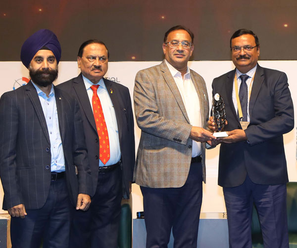
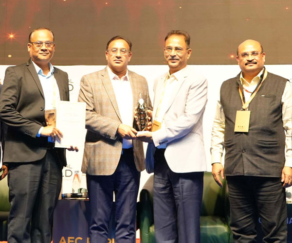
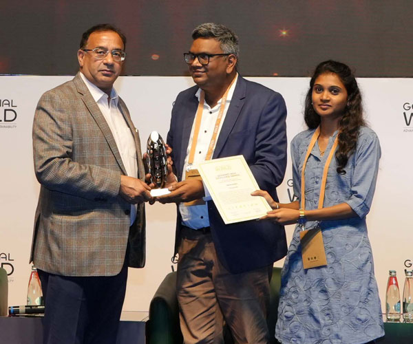
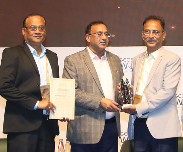
A hallmark of prestige, spotlighting outstanding examples of innovation and excellence within the geospatial sector. Renowned as the most premium award ceremony, it is judged by an eminent jury of experts and honors exceptional individuals and organizations.
Categories

Excellence Awards

Leadership Awards
Last Date of Submission: 15th September 2025
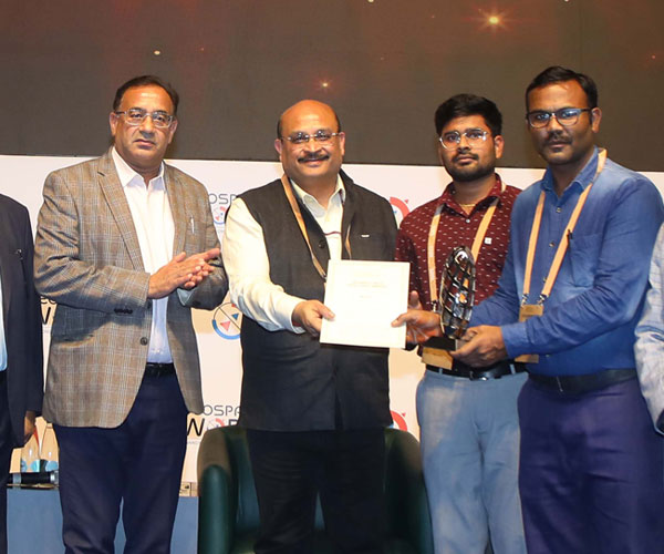
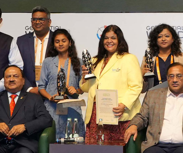
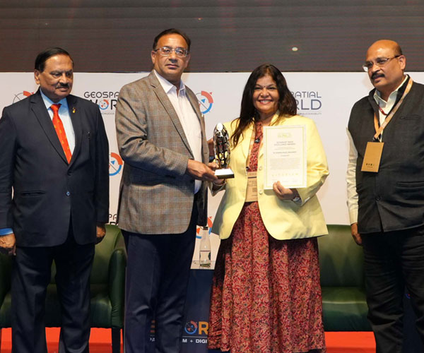
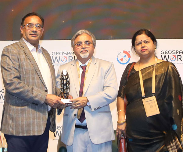
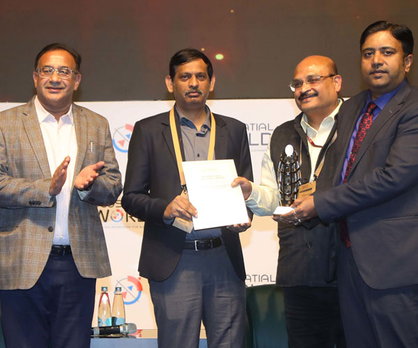
Past Awardees

For more information write to us: [email protected]
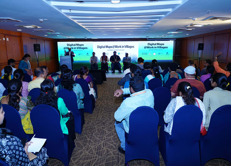
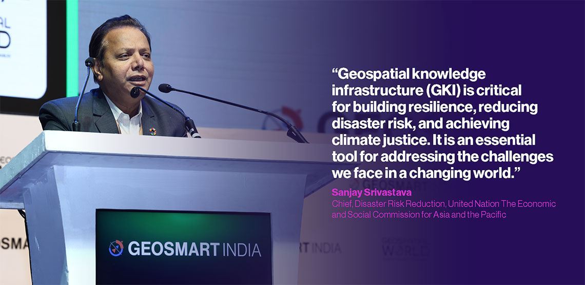
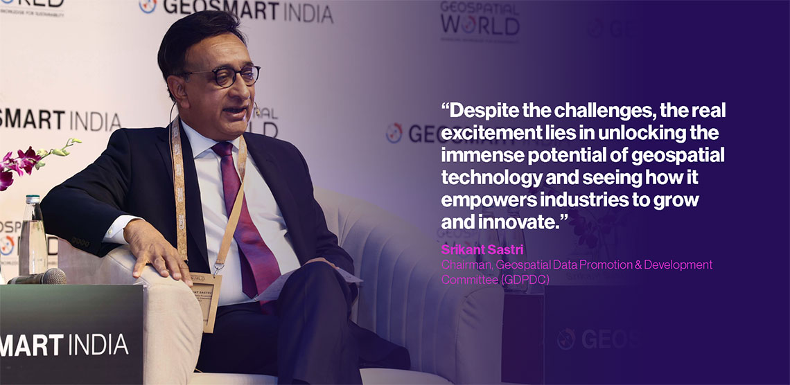
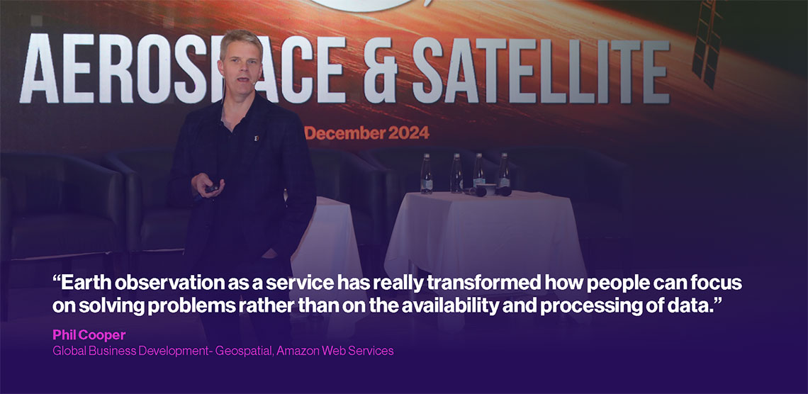
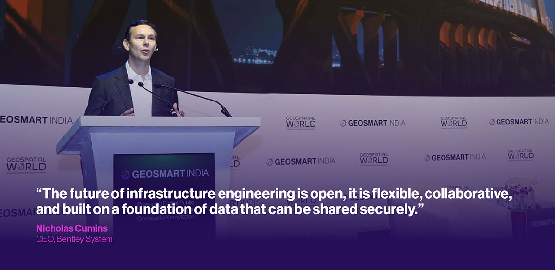
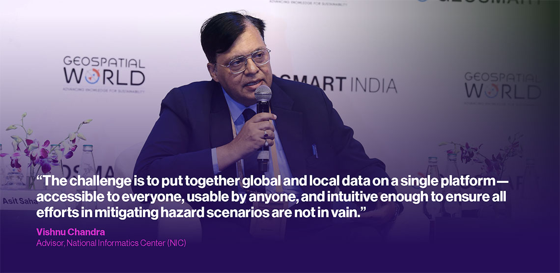
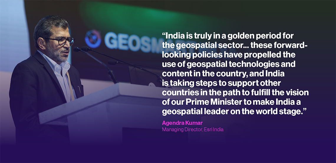
#GSI24 Highlights
Let’s Stay in Touch
Want to keep up to date with the latest updates from Geosmart India 2025? Subscribe below.
Conference Venue
BHARAT MANDAPAM CONVENTION CENTRE
NEW DELHI, INDIA


Contact
Sponsors and Partners
Platinum Sponsor

Associate Sponsor

Co-Sponsors