Experience the Power of Geospatial and Space Technologies
GeoSmart India Expo 2025 is where scale meets significance—India’s largest and most influential geospatial and space-tech event, unfolding at the iconic Bharat Mandapam. Spanning 6000 sqm of innovation, the Expo offers an immersive journey through the forefront of spatial intelligence, national digital infrastructure, and transformative technology. For visitors, it’s not just an exhibition—it’s an entry point into the epicenter of India's tech-driven development story.
As a visitor, you’ll step into a dynamic, high-level ecosystem where cutting-edge technologies, national priorities, and global best practices converge. Connect and engage with Decision-Makers from over 500+ organisations and delegates from 50+ countries—spanning government, industry, and academia. Through curated experiences and strategic interactions, discover how GeoSmart Expo is the definitive destination for anyone invested in transformation at scale.
Visitors
Exhibitors
Participating Countries
Exhibition Space
Visitor Registration
Expo Visitor Timings
- 2 December 2025 12:00 PM – 6:00 PM
- 3 December 2025 10:00 AM – 4:30 PM
- 4 December 2025 10:00 AM – 3:00 PM
*Fees in INR
| Visitor Type | Early Bird Offer (Valid till 19th November) |
Regular (From 20th November) |
| All 3 Days | All 3 Days | |
| Industries | 1000 | 1500 |
| All Others (Government, Academia, Startups, etc.) | 500 | 750 |
Benefits
- Explore the latest geospatial products, solutions, and innovations
- Interact directly with 100+ global technology leaders
- Upskill, reskill, and open doors to new career and business opportunities
GeoSmart India 2025 Expo Visitor Registration Policy
- Pre-registration is mandatory for attending GeoSmart India Expo.
- Conference delegates and exhibitors automatically get expo access—no separate visitor pass needed.
- The pass does not give access to conference sessions.
Please note: For more information please write to: [email protected]
What make it Unique?

State Pavilions
& Symposiums
Explore how progressive states are using geospatial tech in flagship projects and governance models.

Capacity Building and
Academic Junction
Join hands-on tutorials in GIS, LiDAR, drones, and AI/ML—ideal for learners and professionals alike. (Get Digital Certification)

Innovation Hub
– Startup Zones
Discover exceptional ideas and solutions from emerging geospatial and space-tech startups.

Dedicated
Interactive Areas
Experience VR cities, drone fly zones, and real-time simulations in planning and disaster response.

Live Product
Demonstrations
Witness live applications of the latest geospatial tools across 6000 sqm of exhibition space.
Who will you Meet?

Government Officials &
Policymakers

Industry Leaders &
Innovators

Startups &
Entrepreneurs

Academicians &
Researchers

Tech & Solution
Providers

NGOs and
Associations

Investors & Venture
Capitalists

Space - Geospatial
Enthusiasts

Students & Young
Professionals
Exhibitor Product Profiles
- GNSS
- LiDAR
- GIS
- Remote Sensing
- Drones / UAVs
- Photogrammetry
- Satellite Imagery
- Synthetic Aperture Radar (SAR)
- 3D Scanning / 3D Mapping
- Mobile Mapping Systems
- AI / GeoAI
- IoT
- Big Data Analytics
- Cloud-based GIS
- Digital Twins
- Machine Learning
- Surveying Instruments
- Geospatial Software Suites
- Data Visualization
- Smart Mapping
- Web GIS Platforms
- Multispectral & Hyperspectral Imaging
- Thermal Imaging
- Addressing & Geolocation Systems
- Mapping Payloads
- Spatial Data Infrastructure (SDI)
- Edge Computing Solutions
- Sensor Fusion Technologies
- Reality Capture
- Scan-to-BIM and more
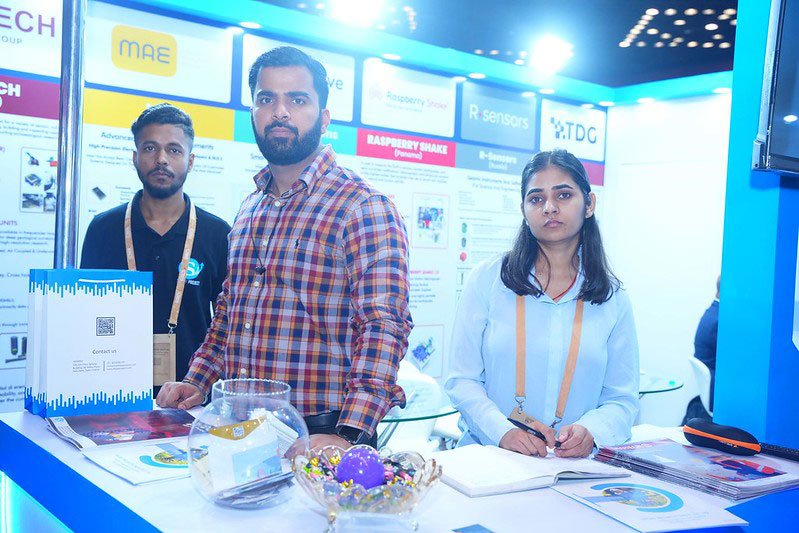
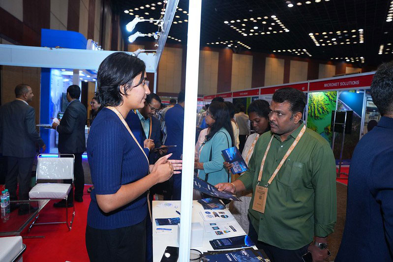
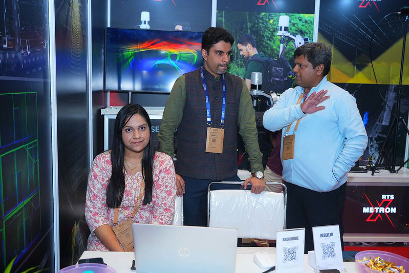
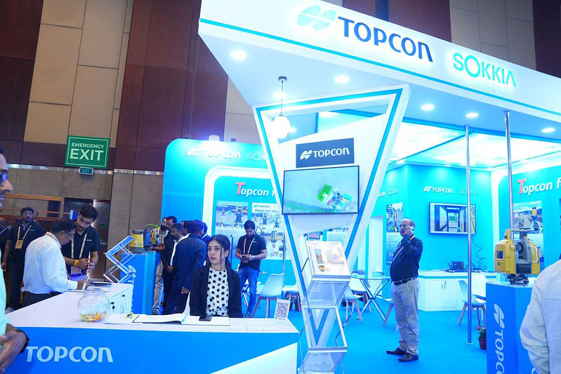
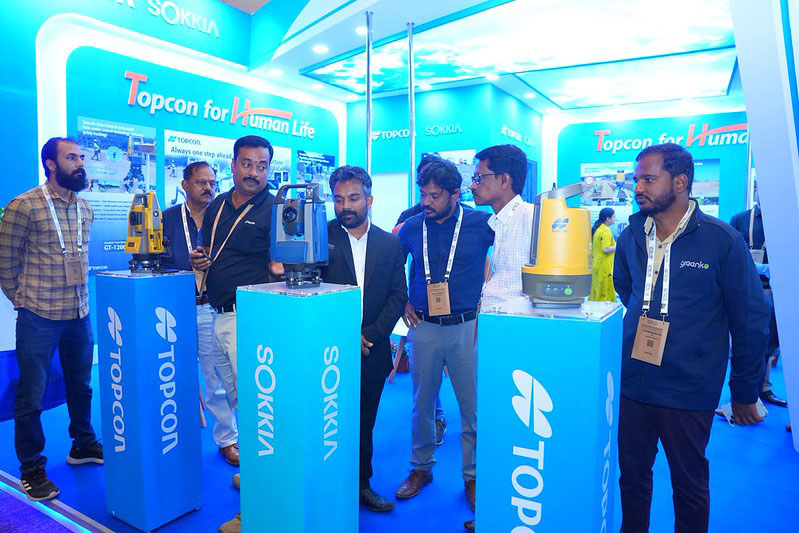
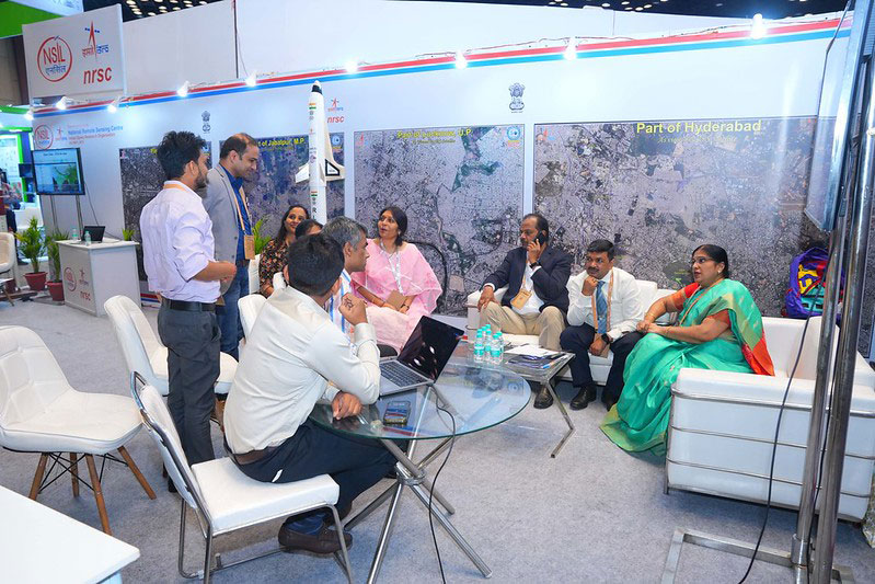
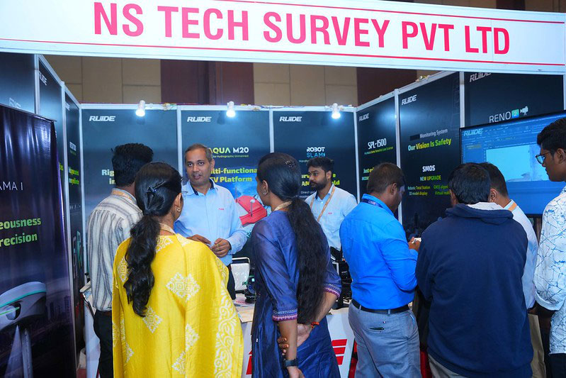
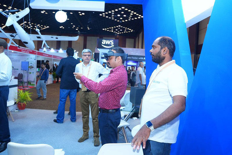
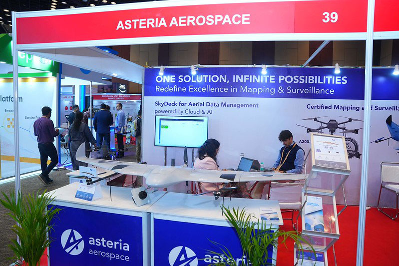
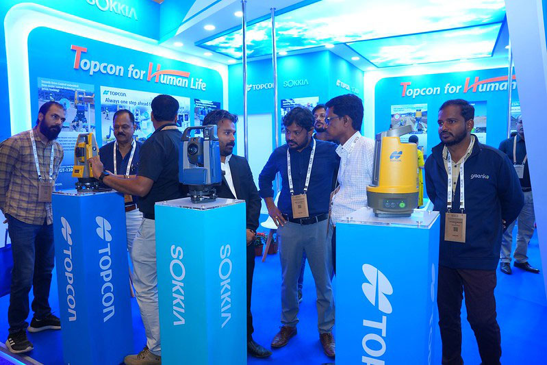
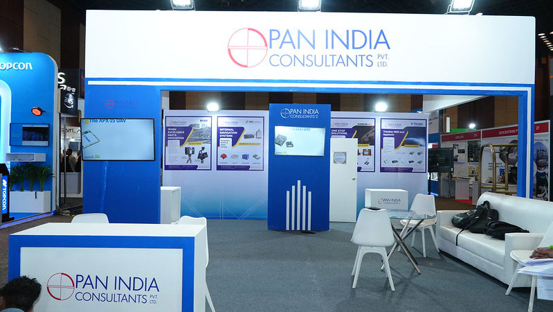
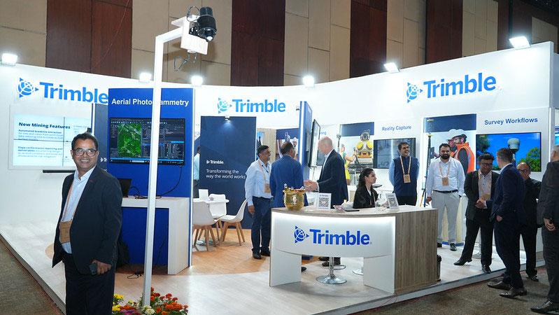
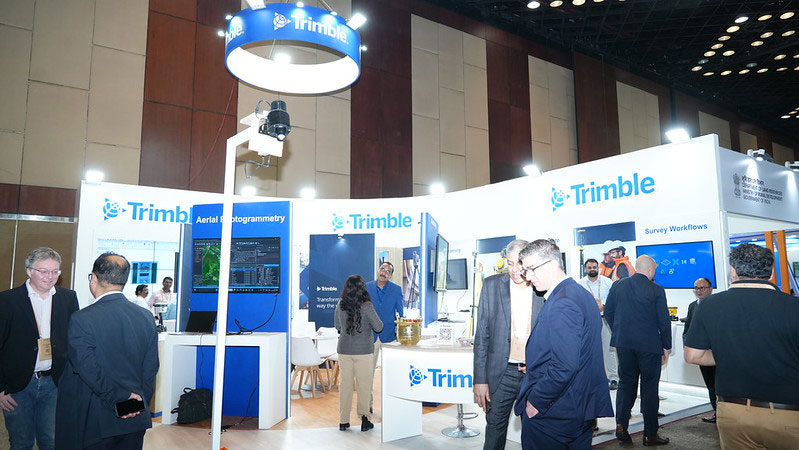
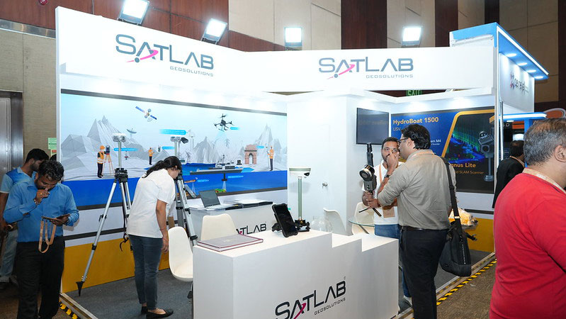
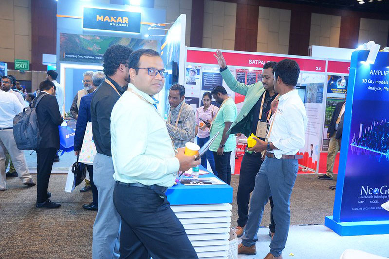
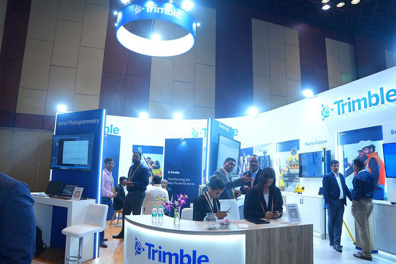
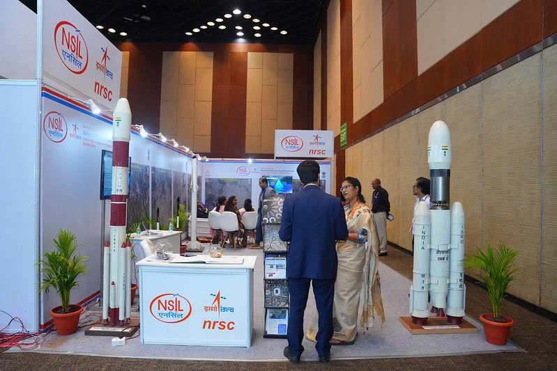
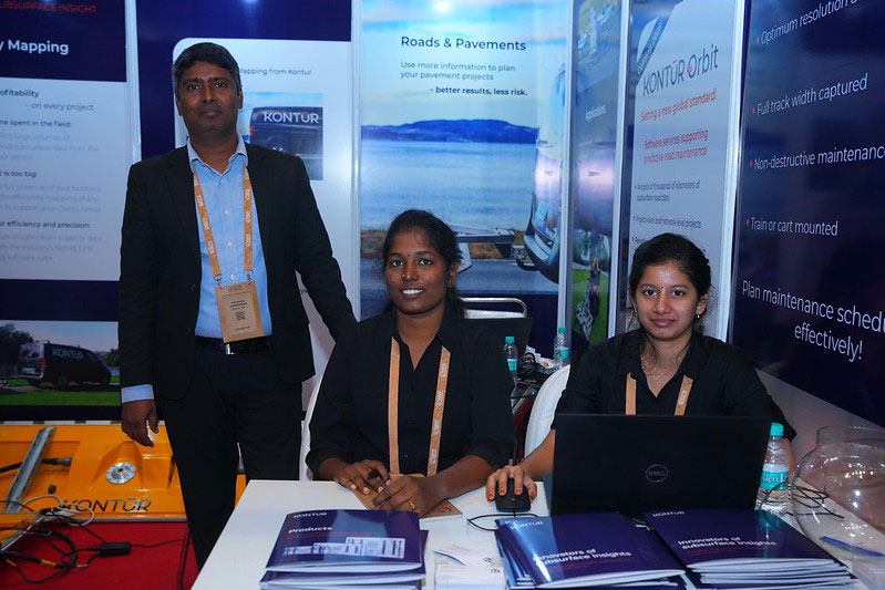
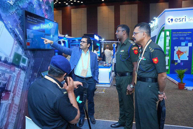
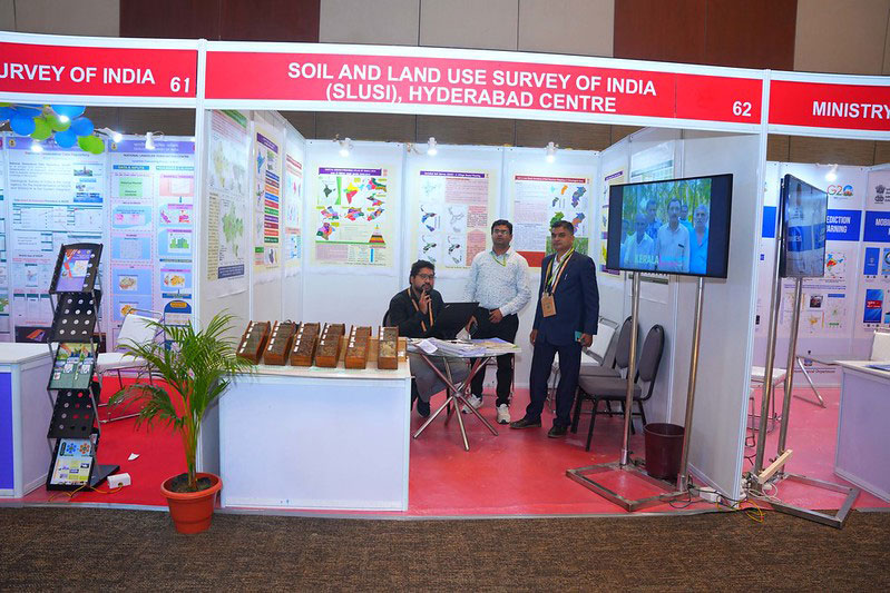
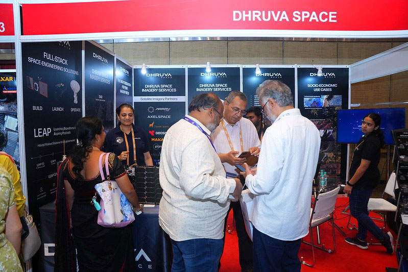
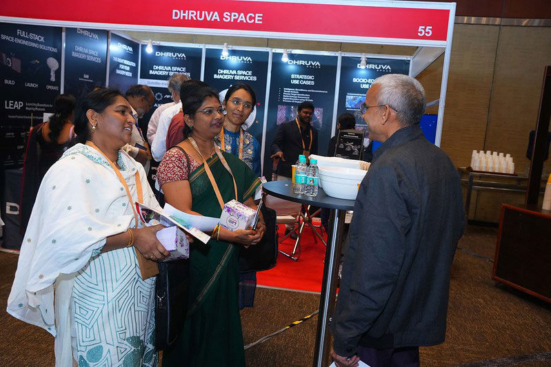
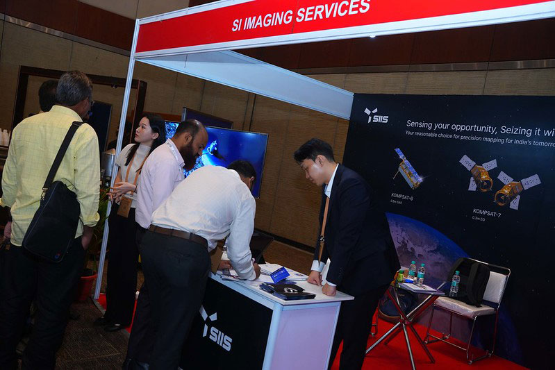
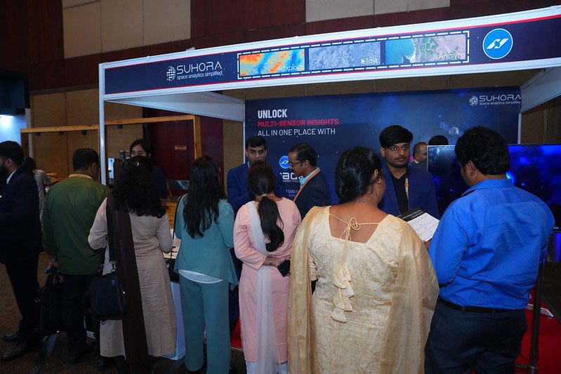
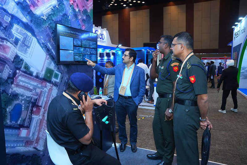
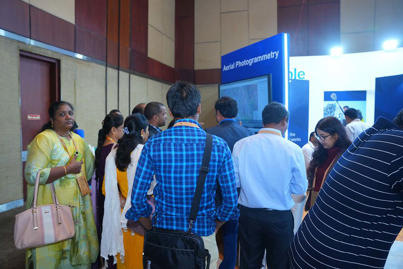
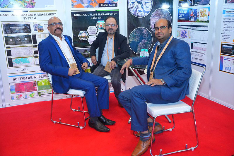
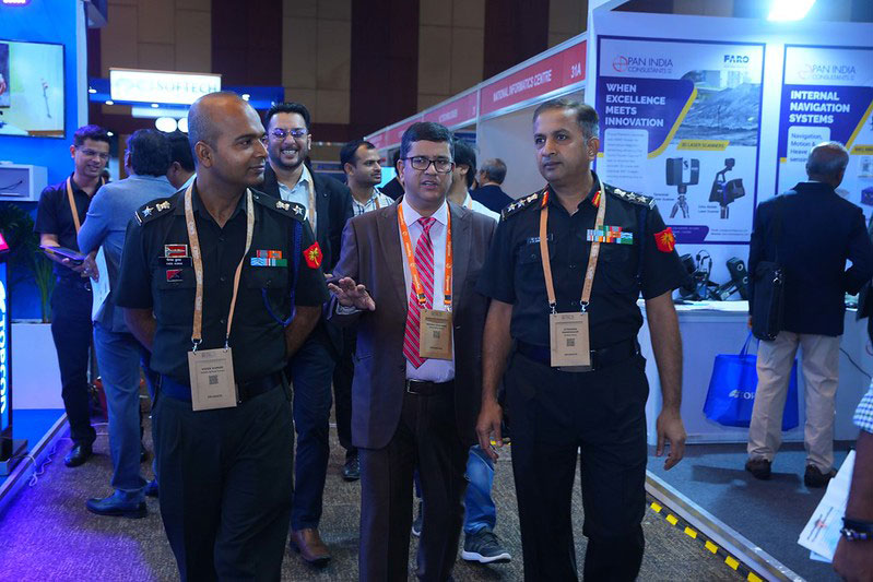
Glimpses from 2024