Welcome Note
Sanjay Kumar
Founder & Chief Executive Officer
Geospatial World
Special Address
Kunal Satyarthi IFS
Joint Secretary (LR)
Department of Land Resources, Govt. of India
Session Highlight
- Advanced Aerial Surveying: Leveraging drones, satellites, and aerial photogrammetry for generating high-resolution orthorectified imagery
- Quality Control in Survey Data: Establishing frameworks for precision, accuracy, and compliance in urban contexts
- Geodetic Infrastructure and Sensor Innovation: State-of-the-art platforms for real-time data capture and analysis
Moderator
Lt Gen Girish Kumar (Rtd.)
Advisor
Government of Haryana, India
Pankaj Mishra
Deputy Surveyor General, NIGST
Survey of India
GV Sreeramam
Founder and Chief Executive Officer
NeoGeoInfo Technologies
Col. Pankaj Fotedar, VSM
Chief Executive Officer
Geokno
Dr Ravi Kumar DVS
Vice President, Government Solutions
IIC Technologies
Prashant S. Alatgi
Designated Partner
Prashant Advanced Survey LLP
Session Highlight
- Harmonizing Legacy Systems with Modern Formats: Ensuring seamless integration of cadastral and ownership records.
- Real-time Data Management: Establishing dynamic and interoperable platforms for land records.
- Spatial Integration at Multi-Governance Levels: Strategies for creating unified geospatial databases spanning local, state, and national levels.
- Digital Security and Privacy: Safeguarding citizen data in integrated systems.

Chair
NK Sudhansu IAS
Settlement Commissioner
Government of Maharashtra & DG, YASHADA, Pune

Josh Coutts
Geography Division
US Census Bureau
USA

Chris Chambers
Deputy Director
Geospatial Commission, Department of Science, Innovation and Technology
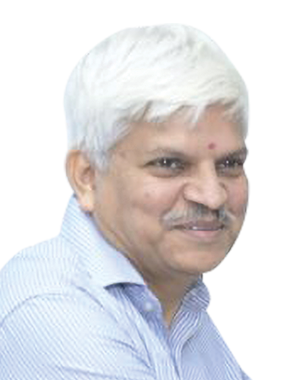
V. Uday Kumar
Deputy Director General/ Scientist G
Geospatial Technology and Services, National Informatics Centre (NIC), GoI

Krishna Rao TVB
General Manager - Presales
Esri India
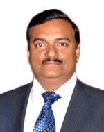
Dr Sandeep Goyal
Additional Project Director
Madhya Pradesh State Electronics Development Corporation Ltd, Department of Science Technology, Govt. of MP

Dr VSS Kiran
Chief Executive Officer
Garudalytics
Session Highlight
- Survey of India Innovations: National standards and cutting-edge methodologies for large-scale urban surveys and use of CORS in Urban Land Records.
- Karnataka's Success Story: Modernizing urban land records using GNSS-enabled rovers and Continuous Operating Reference Stations (CORS).
- Madhya Pradesh Experience: Challenges and solutions in digitizing urban land records.
- Kerala Survey Experience
- Assam Survey Experience
- Haryana Survey Experience

Chair
Lt Gen Girish Kumar (Rtd.)
Advisor
Government of Haryana, India
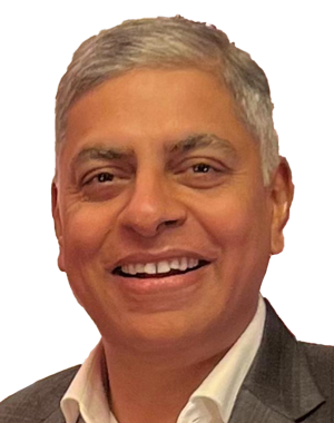
Amit Saxena
Regional Manager
Trimble

Laurent Gerardin
Sintegra-GEOFIT

Gangadhar Rao
Director
RSI SOFTECH
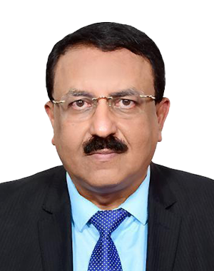
Dr Aniruddha Roy
Chief Technical Officer
Genesys

Tanka Prasad Dahal
Director
Ministry of Land Management, Nepal

