About Speakers
Andreas Gerster is serving as the Vice President for FAROs Construction and Design Business. Prior to joining FARO, he hold a number of leadership positions in Business Development, Product Management, Sales Development and Marketing with Agilent Technologies. Mr. Gerster has more than 20 years of business experience in optical, electronic and digital Test & Measurement. He holds a Master degree in Physics from Stuttgart University.
Arnout joined TomTom in 1998 and is currently Vice-President in the Maps unit and responsible for global sourcing. His globally distributed team acquires and produces an extensive range of sources and content to build, enrich and maintain the high-standard navigable maps of TomTom, covering 135 countries and more than 4 billion people. These maps are used in multiple markets and trusted by thousands of automotive manufacturers, governmental and enterprise customers worldwide. Throughout his long career with TomTom, previously Tele Atlas, Arnout took up several leadership roles in geographic coverage extension and new market development through partnerships with local and regional map providers and content aggregrators. Prior to TomTom, Arnout was active in agricultural development and irrigation engineering programs in Africa where he started to appreciate the importance of mapping and location technologies. Arnout holds a master degree in Agricultural Engineering and a postgraduate degree in Economics.
Agnieszka Lukaszczyk is a Director for EU Policy at Planet. A Polish/American national, has worked at the European Commission, Directorate General for Internal Market, Industry, Entrepreneurship and SMEs, Space Data for Societal Challenges and Growth Unit. She also worked at the Directorate General for Enterprise and Industry, Space Policy and Research Unit. Before she joined the Commission, Agnieszka was the Brussels Office Director for the Secure World Foundation. In addition, she is the former Chairperson and the former Executive Director of the Space Generation Advisory Council in Support of the United Nations Programme on Space Applications. Agnieszka also worked at the European Space Policy Institute as a research fellow. Agnieszka serves as the Vice President - Europe for the World Space Week And Sits on the Board Of Directors for the Women in Aerospace-Europe. She is currently pursuing a PhD in Space Security at the Polish Defence Academy. She holds a Master's degree from the Warsaw School of Economics in Management of Space in New Economies and a Master's degree from the American University School of International Service in International Politics plus a Bachelor degree in Political Science from the University of Tennessee. She also studied at the Universite Catholique de Louvain in Brussels, Belgium; the Jagiellonian University in Krakow, Poland and the World Trade Institute in Berne, Switzerland. She gained professional experience at the Political Section of the Polish Embassy in Washington DC, American Electronics Association in Brussels, European Department of the Polish Senate in Warsaw and the Warsaw Business Journal.
Ed Parsons is the Geospatial Technologist of Google, with responsibility for evangelizing Google’s mission to organize the world’s information using geography. In this role he maintains links with Governments, Universities, Research and Standards Organizations which are involved in the development of Geospatial Technology.
He is a member of the the Board of Directors of the Open Geospatial Consortium and was co-chair of the W3C/OGC Spatial Data on the Web Working Group. He is a Visiting Professor at University College London and an Executive Fellow at the University of Aberdeen Business School.
Ed was the first Chief Technology Officer in the 200-year-old history of Ordnance Survey, and was instrumental in moving the focus of the organisation from mapping to Geographical Information. He came to the Ordnance Survey from Autodesk, where he was EMEA Applications Manager for the Geographical Information Systems (GIS) Division.
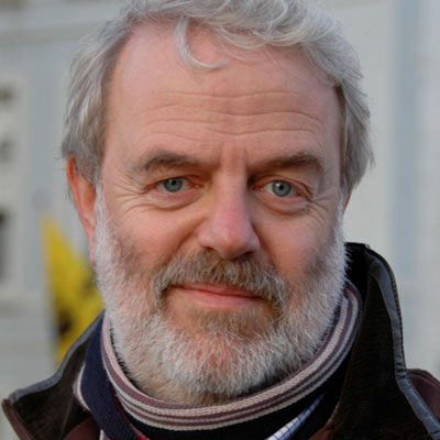
François Robida is a mining engineer and geostatistician, and has 25 years of experience in computer science applications to earth sciences with BRGM (French Geological Survey). Following his first work in mining geostatistics, he has been in charge of the design and development of software and programs related to all aspects of geology, and especially to 3D modelling. He was then been responsible for the BRGM software group, a team co-ordinating the development and marketing of software developed by BRGM. In his current position, he is in charge of the R&D and of the European projects in the domain of Information Systems for BRGM.
As "Terre Virtuelle" project leader (Terre Virtuelle / Virtual Earth is a BRGM R&D corporate project to support the development of new services through the use of new technologies), François has been promoting and has introduced interoperability, Grid and Virtual Reality technologies within national geological survey. Involved as an actor of the development of interoperability at different levels, he is a member of the European Expert Group for INSPIRE (the initiative of the European Commission to develop European Spatial Data Infrastructure), where he represents the European geological surveys association (EuroGeosurveys). As representative of BRGM in OGC (Open Geospatial Consortium), he is also a member of the OGCEurope advisory board, and member of ADAE-CNIG (French counsel for geographic information) working group for geospatial interoperability.
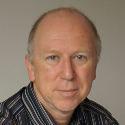
Geoff has been the Secretary General since 2011 and has driven the development of the Association into the widely-known and well-regarded organisation it is today. During his long and varied career, Geoff has held senior management positions in the space industry with Astrium / EADS / Airbus as well as numerous representative positions in the UK and Europe. In his early career, Geoff was the radar systems designer for ERS-1 and Envisat and at the end he became vice-president for the space strategy for EADS. He was previously a director of EARSC for 12 years during which he was chairman for 6 years from 1991 to 1997. He has served on many EU consultative bodies and spent 3 years working for the European Commission where he was responsible for supporting space policy and, in particular, the creation of the GMES initiative. Geoff is very well known to many in the space and earth observation sectors and brings this deep wealth of experience and knowledge to support the ambitions of the geo-information industry that EARSC represents.
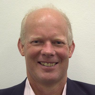
John Kedar is a versatile and pragmatic director, executive, senior manager, leader and geospatial expert, skills developed through a wide range of Defence appointments, including in high-stress environments such as Afghanistan, through major charitable Board vice-chairmanship and latterly within Ordnance Survey.
He has led organisations of up to 650 personnel, developed Government strategic direction for geospatial, intelligence and engineer activities and played a key role in furthering the role of geography in the UK and internationally, regularly chairing and speaking at major international conferences.
John’s successful military career is best measured by repeated direction to establish and lead new organisations or projects - particularly in the geospatial community. This has continued in his role with Ordnance Survey International: directing international programmes and opening new markets in South America and Africa, by communicating the value of geospatial information and its role of underpinning government, economic growth and citizen services.
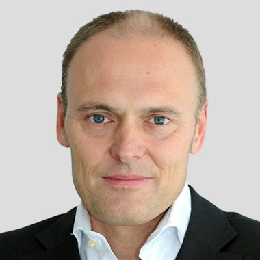
Manfred Krischke has been awarded a PhD in aerospace engineering from the Technical University of Munich. He was the Founder and CEO of RapidEye – a successful start-up, which uses satellites to map and monitor agriculture and forestry. He also was the Managing Director of Intermap GmbH and VP at Intermap Corp - an innovative geospatial solutions company, traded on the Toronto Stock Exchange, which employed at that time over 950 people worldwide. He has been a Senior Advisor to Spacetec Capital Partners, a venture capital company specializing in early stage investment and consulting services for established hi-tech companies and governmental agencies. The first seven years of his professional career he was Business Development Manager at the space technology company Kayser-Threde GmbH in Munich, Germany.
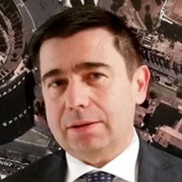
Massimo Claudio Comparini has a Master Degree in Electrical Engineering, Remote Sensing and Radar Systems, University of Rome La Sapienza (Italy), and a Degree in Strategy from Graduate School of Business, Stanford University, CA (USA).
He began his career in the space industry in 1983 at Selenia Spazio (later Alenia Spazio), holding positions of increasing responsibility, up to that of Chief Technology Officer. After the establishment of the joint venture Thales Alenia Space (Thales 67%, Finmeccanica 33%), he took up the role of Deputy Chief Technical Officer, CTO of TAS Italia and Vice President for R&D, Technology, Product Policy and IPR. In 2013 he was appointed Chief Technical Officer at Telespazio, a joint venture between Finmeccanica (67%) and Thales (33%).
In 2016, he has been appointed as CEO of e-GEOS, an ASI 20% / Telespazio 80% company, which has the mission to commercialize world-wide COSMO-SkyMed radar Constellation data, applications and services and to provide multimission Geospatial integrated solutions, based on innovative satellite data and advanced information technology processing chain. Since 2015 he is the Chairman fo EarthLab Luxembourg a Joint Venture between Telespazio group and local important playesr (Post Luxembourg, InTech, HiTec) for Earth Observation services and applications in support to risk and insurance market.

Alina Hriscu is a Market Development Innovation Officer at the European GNSS Agency (GSA) following the EGNOS and Galileo market adoption in the surveying and mapping segments. She also oversees the Fundamental Elements funding scheme. Before her engagement with the GSA, she has been working at European Space Agency (ESA) and as a researcher in Delft University of Technology. Alina holds a degrees in physics from Delft University of Technology (PhD), University of Groningen (Master) and University of Bucharest (BSc).
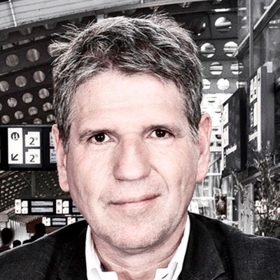
Rob van de Velde is director of Geonovum, the Dutch National SDI Executive Committee. Making the Government work smarter when it comes to location, is the common thread in his work in the public sector. Graduated as a human geographer, he started his career in geospatial technology when joining the National Planning Agency in 1985, the first Governmental Agency in the Netherlands to acquire GIS technology. Later he joined the National Institute of Public Health and Environment and in 2000 he joined the Ministry of Agriculture, Nature and Food Quality heading the GIS Competence Center. Since 2007 Rob is director of Geonovum. Rob is furthermore member of the Board of Directors of the Open Geospatial Consortium and is connected with the Spatial Information Laboratory of the Vrije Universiteit Amsterdam.
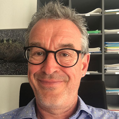
Stefan Jensen studied Geography in Kiel and Goettingen in Germany as well as in Santa Barbara in the US. He started working in the private sector on the marketing and application of Geographic Information Systems (GIS). After being a GIS consultant for a couple of years, he moved to the Lower Saxony Ministry of Environment in Hannover, Germany in 1992. There he became responsible for developing the State’s Environmental Information System and started on European projects. He joined the European Environment Agency (EEA) in Copenhagen in 2001 where he - after projects on electronic environmental reporting – led the activities to establish a European Water Information System. Since 2010 he leads the EEA group on data governance which helps building the EEA’s spatial data infrastructure and is supporting the implementation of INSPIRE in Europe.
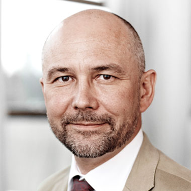
• Since 2014 Leading the Mapping and Geoservices Division of the COWI Group in Copenhagen, Denmark
• 2011-2013 Managing Director of COWI India, before that leading COWI projects and other COWI Group companies for 12 years in Rumania, El Salvador, and Panama
• Before joining COWI
o Research Fellow and Lecturer for GIS and Geodetic Networks at the University of the Armed Forces in Munich, Germany
o Introduction of accurate tracking systems for railroads and automation of supervision of railroad crossings for a German Railroad Electronics Manufacturer
o Consultancies for the GIZ (German Society for international cooperation) and KfW (Kreditanstalt für Wiederaufbau) in Bolivia and Tanzania
• Education: MSc. Engineering Surveying and Geodesy, Doctor of Business Administration (DBA) Finance/International Business
• Rtd. Artillery Officer on the Federal Armed Forces of Germany

After working a GIS stint at the New York State Department of Health, Tyler attended Clark University's GIS for Development and Environment graduate program, focused mainly on satellite remote sensing. While in school Tyler became a Summer of Maps Fellow at Azavea in Philadelphia, broadening into open source tools and web maps. Tyler was hired on at Azavea as a Geospatial Solutions Specialist, mixing business development and spatial analysis. Tyler now works at Booking.com in Amsterdam as a Geo Data Scientist--wrangling big Geo data to run experiments to help travelers find their perfect holiday location.
Jonkvrouw (lady) Ingrid H.J. Vanden Berghe graduated as an agricultural engineer at KULeuven, specialized in soil science. She started as a researcher before joining the public service. She was advisor to the minister of Environment, Public Works, Town and Land Use Planning. and director of the research center of the Christian Democrat parties. In 2002 she was appointed General administrator of the National Geographic Institute. She is President of EuroGeographics, member of the board of several research organizations and visiting professor at KULeuven. She also chairs the G-Cloud Strategic Board, coordinating ICT activities of the federal government.

Martin Salzmann is the strategy lead with the Cadastre, Land Registry and Mapping Agency (Kadaster) of the Netherlands. Martin has a professional background in geodesy and navigation systems. With the Kadaster he has worked extensively in the fields of quality assurance of cadastral surveying and mapping, information strategies and marketing before moving into the realm of strategic planning, eGovernment and digital transformation. In the European arena Martin is involved in the development of land administration, has served on the program board of European Location Services, and is past president of EuroSDR (European Spatial Data Research).
Stephen Coulson has 30 years' experience in the field of satellite Earth Observation and its applications; the last 25 of which have been with the European Space Agency (ESA).
Since 2000, Stephen has been managing an ESA program to support the development of a wide range of EO-based environmental information products & services for more than 400 Public & Private sector user organisations. This work was carried out with the European EO downstream services industry (many micro-companies and SMEs) and was in preparation of the EU Copernicus programme.
Over the last 5-8 years, Stephen has been focussing on developing the ESA cooperation with the main International Development Banks (e.g. World Bank, etc) in order to expand the use of EO-based environmental information into the working practices and financing of Development Aid/Assistance.

Director of European Issues in TRACASA. Project Manager Professional certified by PMI. She has 30 years' experience in information management, 25 of them in Spatial Information projects like either independent consultant or Tracasa employee. Over the last 14 years, she has been in charge of European projects, representing the company in Europe and participating in different events at worldwide level.
Deeply involved in INSPIRE development participating in several working groups at Regional (SITNA- Territorial Information System of Navarre), National (IDEE-SDI of Spain), and European level (Expert proposed for INSPIRE MIG).
She is also participating in standardisation groups in Spain for Digital Geographic information (UNE CTN-148) and Smart Cities (UNE – CTN178) and at Global Level (ISO TC211- ISO 19160 Addressing).
Athina is the Director for Regional Services in Europe, Central Asia, and Africa at the Open Geospatial Consortium (OGC). In her position she is the contact person for OGC in these regions, responsible for the OGC's activities and networking. This includes raising awareness and increase application of OGC standards by technology providers and users, as well as connecting with stakeholder organisations and members. Therefore, she also supports regional and national forum activities, and planning and managing of OGC outreach and recruitment in these regions. Athina has presented internationally on geo-information management topics, mainly in the areas of OGC processes, interoperability and standards.

As a passionate entrepreneur, she is now applying her skills to the field of Automated Business Intelligence, specialising in location technologies whilst driving innovation to create Change for a Better World. Her company IMGeospatial creates automated business products which are based on machine learning, artificial intelligence, automatic feature extraction, remote-sensing and multi-scopic data, providing valuable geospatial insights for many industry sectors around the globe. In her spare time Alexis is a keen sportswoman, enjoying heli-skiing, marathon running and her Yachtmaster Certification, which enables her to sail the oceans of the world, discovering diverse people and their cultures.
John Renard joined Cyient in 2000. He currently serves as President−EMEA (Europe, Middle East, and Africa) and also as Business Unit Head for Utilities and Geospatial. In this role, he is responsible for developing and growing Cyient's global utilities business, as well as maintaining Cyient's leadership position in Geospatial. In his previous role, he served as geography and sales head for the EMEA and India regions. Before that, he managed the worldwide business operations of the Utilities, Telecom, and Data Transformation, and Analytics business units. John first served as Managing Director of Infotech Enterprises Europe Ltd. He led the European operations for six years before transitioning to his current role. With more than 25 years of IT, geospatial, and data engineering experience, John now specializes in financial management, strategy, business leadership, and global outsourcing.
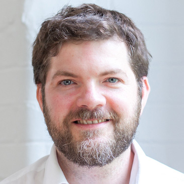
Alex has spent his career building media and technology businesses. He currently heads up Geovation – a ground-breaking location data lab backed by Ordnance Survey and HM Land Registry tasked with identifying and supporting new businesses that use location or property data.
Alex started out reviewing videogames for TimeOut London. After graduating from King’s College London with a Philosophy degree, he spent 4 years building a trade media business which was sold LSE-listed exhibitions group ITE Group. He later went on to found Near Global, an interactive technology studio that builds accurate, immersive experiences of real-world places from survey data, plans and BIM models. The company’s products include a virtual reality experience of London’s West End and mobile, tablet and VR experiences of flagship London developments including St James’s Market, NEO Bankside and Battersea Power Station.
At Geovation he combines his experience of startups, geospatial and digital media to help the next generation of entrepreneurs realise their ambitions.

Passionate about drones his whole life, Tobias Wentzler was the first enabler of drone operations at an international airport for Lufthansa back in 2015. This, and multiple other projects gave him a multitude of experience on the integration of drone technology in various industries such as construction as well as transportation and energy infrastructure. He is now the Business Development Manager at DJI, guiding industry businesses in the adoption of drone technology. His ambition is to transport people to the era of new generation of work using cutting-edge drone solutions to drive efficiency and taking businesses to new levels. He holds a M.Sc. in Aerospace Engineering and Management at TU Braunschweig. During his free time, Tobias seeks for upwind opportunities with his parachute.
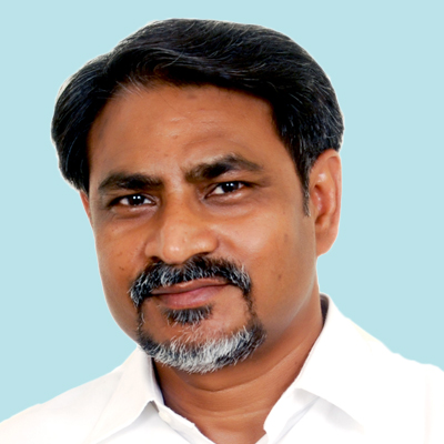
As a social entrepreneur and Chief Executive at Geospatial Media and Communications, Sanjay Kumar has been working towards facilitating and accelerating growth of the geospatial industry worldwide and raising awareness of the industry's value proposition and contribution to world's economy and society.
Having co-founded Geospatial Media and Communications, Sanjay has been responsible for its transformation and evolution to be a leading geospatial media organisation making difference through geospatial knowledge and advocacy. Sanjay also co-founded Association of Geospatial Industries of India in 2008 and is on Board of Directors of Open Geospatial Consortium since 2011. He is the Chairman of United Nations GGIM – Private Sector Network, and Board Member of Radiant Earth Imagery for Impact.
Sanjay holds a Masters in Political Science and M. Phil. in International Studies from the University of Delhi.
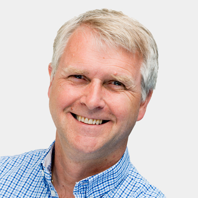
Knut Arne Gjertsen is Deputy Director of the Norwegian Mapping Authority (NMA), the oldest technical agency in Norway, with responsibility for geographic infrastructure, hydrography, public property information and land registration.
He has been with NMA since 2010. In addition to responsibility for corporate staffs, he has been responsible for corporate governance for the last 7-8 years.
He has broad management experience from healthcare, banking, insurance, IT and retail. His main areas has been corporate leadership with substantial management experience. Focus on strategic development, organization, use of information technology and goals.
He has higher education in economy and executive programme from INSEAD. The focal point of the programme is strategy, innovation, modern leadership and the inter-relations.
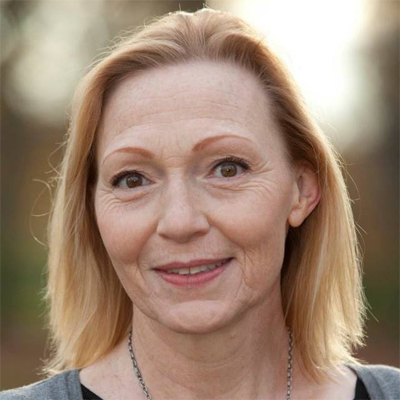
Master of Science in Geography, diploma degree in Leadership and Management. National INSPIRE contact point, member of EU expert groups; NSPIRE MIG, ISA WG Geospatial Solutions, TAEX. Part of the agency's engagements in: UN-GGIM, EuroGeographics, Copernicus, Nordic NMCA executive board. Appointed Expert to the EU Commissions JRC in relation to the ELISE program. Vice President of the Danish association for spatial information and board member of the Nordic Geoforum. National/international speaker and university teacher. Daily works with focus on NSDI value creation in public sector digitization, innovation projects, business developments, target strategies and User Centric Information Architecture.
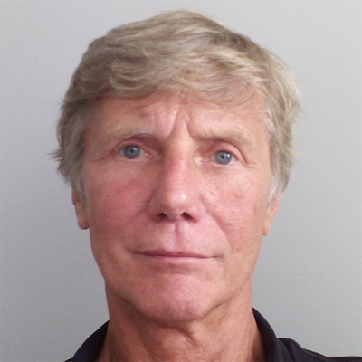
Hugo De Groof is a European Commission policy officer in the Directorate-General for the environment, DG ENV of Belgian nationality. He has an academic background in geography and informatics. He joined the European Commission's Joint Research Centre, JRC in 1986 where he worked first as a researcher and later as manager on various projects and programmes where remote sensing data and other spatial information were used to support European Union policies. He joined DG ENV in 1998 to help improving the knowledge base for the development, implementation and monitoring of environmental policies. Some of his main activities in which he collaborates with other Commission services, EU agencies such as the European Environment Agency and experts from Member States and stakeholders, relate to the development and implementation of the Infrastructure for Spatial Information in the European Union INSPIRE directive, the Shared Environmental Information System initiative, the Commission inter-service activities on the Copernicus programme, the Group on Earth Observations initiative and the interfacing with the wider EU's digital economy policies such as the Digital Agenda and Digital Single Market.
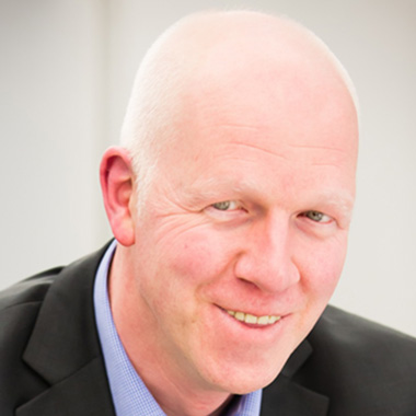
Jan Sonck is driving Proximus innovation activities, focused on customer expectations and research together with universities and technology partners, and delivering cross-industry solutions to internal and external clients in all major public and private sectors.
Throughout a career of 25 years in Information and Communication Technology, Jan fulfilled a number of missions in sales, marketing, business development and general management. This feeds both experience and skills to identify market opportunities and customer requirements and respond to them with the right innovations.
Today the Proximus innovation teams are discovering many new data driven applications, aiming to improve internal operations and drive external data monetization. Successful projects have been delivered for tourism, smart cities & buildings, retail and mobility services.
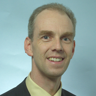
Hans Viehmann is responsible for Oracle's Spatial and Graph technologies in the database as well as Oracle Big Data Spatial and Graph as Distinguished Product Manager. He studied Physics at Hamburg University and Imperial College, London, and started his career in Research with the prestigious Max Planck Gesellschaft before joining ORACLE over twenty years ago. He has been working on GIS Systems, Spatial Databases and Spatial Data Infrastructures since the mid-Nineties and turned Spatial and Graph database sales into a sustainable business for Oracle Germany over the following years. After various positions in Presales Management, he joined the Product Management Team in 2011 and since then acts as the representative of the Oracle Spatial and Graph Development Team across Europe, Middle East and Africa. In this role, he is responsible for key projects and strategic partnerships, marketing activities, as well as internal awareness around the Location Products and Graph Databases/Graph Analysis within ORACLE's various regional organizations and business units. He is a regular speaker at conferences and user group events in the region and acts as the Oracle liaison to Spatial and Graph Special Interest Groups (SIGs) in several countries. He also serves on the Advisory Board of InGeoForum, Germany.
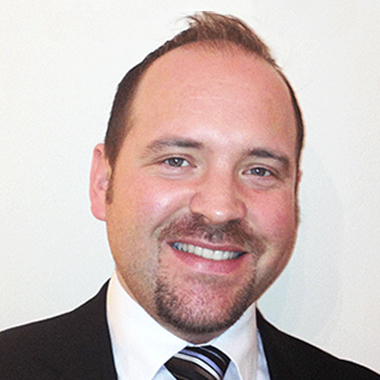
Steven is a very experienced geospatial information management and digital transformation specialist with 20 years' experience of strategic definition, project management & hands-on solutions implementation, particularly within the physical asset management, Built Environment and Natural Environment sectors. His background is in mapping, Geospatial solutions and GIS, but now consults on asset information management and modelling in the widest context. Most often Steven works with Architecture, Engineering, Construction, Owner Operator (AECOO) and asset management clients - such as property developers, Railway infrastructure companies and Utilities companies.
In his current role, Steven is focused on creating a Digital National Asset Register (DNAR) for The Government Property Unit (GPU) at the Cabinet Office. The DNAR will provide a joined-up, robust and trusted view of all Government Property (land and building) assets for strategic decision-making.
The DNAR will underpin the programmes identified in the Government Estate Strategy and will align with the ambitions of Digital Built Britain, via the BIM and Government Soft Landings (GSL) initiatives, to help create a Government-wide ‘Digital Estate’.
In addition to his role at the Cabinet Office, Steven also holds the below positions:
• Chair, BIM4 Infrastructure (UK)
• Principal Tutor in BIM, Institution for Civil Engineers (ICE)

As CEO of Geospatial Media and Communications, a global geospatial media company, Sanjay Kumar has been evangelizing the growth of geospatial industry worldwide through policy advocacy and strengthening the industry's engagement with global development agenda. Mr Kumar co-founded the Association of Geospatial Industries in India in 2009, and serves on the Board of Directors of Open Geospatial Consortium (OGC) and Radiant Earth. He is the Secretary General & CEO of the World Geospatial Industry Council. He has been associated with the United Nations Global Geospatial Information Management (UNGGIM) since its inception, where he represented the Private Sector Network as its Chair till July 2018. He is a Masters in Political Science and M.Phil in International Studies from University of Delhi.

Andy Williams is head of geospatial at one of the UK's leading property consultancies, before that he was an Officer in the British Army which included leading geospatial operations in Afghanistan and for the London Olympics. Both roles have involved using spatial analysis to make strategic decisions, finding the optimum location for new businesses or asking 'where is the least bad place to shoot down a plane over London?' He is actively encouraging owners of existing assets to realise the benefits of BIM.
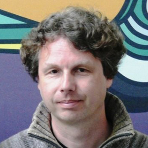
Remco started out working with mapping and GIS in 1997, right after he finished his studies in Modern Literature. As a typical 'first job' he was a consultant GIS operator for utilities like Vitens, Essent Kabelcom and NUON GAMOG. Soon, he combined his writing skills with a growing interest in everything geospatial. Between 2003 and 2018 he has mainly been associated with Dutch language GIS-Magazine. He has also contributed to English language magazine GeoInformatics. In 2014 he was responsible for the GeoEvent in the Netherlands, which covered the local geospatial market of government, businesses and education. Over the years, Remco has been collaborating with umbrella organisations like GeoBusiness Nederland (GBN) and Geo-Informatie Nederland (GIN). Just recently, he teamed up with Geospatial Media and Communications. As regional director he is responsible for the activities of the region related to conferences like Geo | Design + BIM, Geospatial World Forum and the European Geospatial Summit, and also research projects within the Marketing Intelligence and Policy Advocacy team of the same company.

Erik received a Master of Science in Electrical Engineering from KU Leuven in 1989. In 2013 he co-founded Datylon after an international career in various leadership roles across industries including enterprise software/SaaS, telecom and digital printing. With a team of 25 data visualization experts Datylon brings to market a data visualization platform and aims to help people, organisations and companies communicate better and faster with data. As Datylon's CEO Erik continues to explore the frontline of explanatory data visualisation as an enabler to make data more actionable.
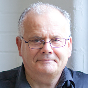
Chris is a geographer and land & water resources scientist with a career working with location data across public, private and third sectors at home and overseas. In 2009 Chris co-founded Geovation, Ordnance Survey’s open innovation initiative, accelerator and award-winning Hub (opened in 2015) now run in conjunction with the HM Land Registry. Guided by the UN Sustainable Development Goals, Geovation delivers location impact by creating new social, economic and environmental value. It does this by using collaboration, open innovation and design thinking tools, and approaches to help start-ups develop, launch and scale their ventures, sustainably.