As National Geographic completes 100 years of pull-out maps, it amazes the readers by presenting the most stunning presentations in the realm.
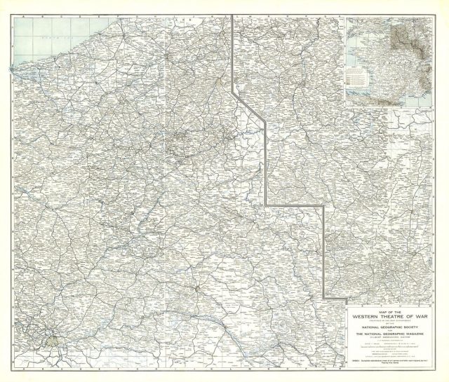
The trend of pull-out maps in the magazine began with a map of the western front, which got displayed in the May 1918 issue. This, approximately, 2 by 3 foot sheet map presented the 400-mile battle line across France and Belgium. This is where much of the World War I fighting had occurred. This was the first supplement map provided by the magazine and was completely created by its own cartography department.
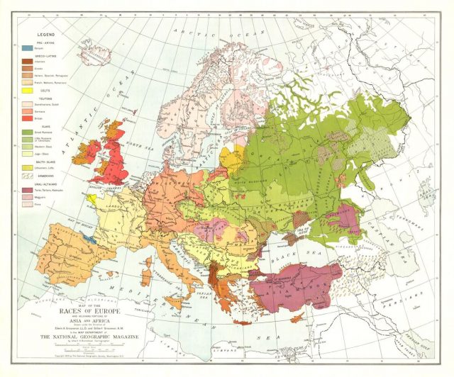
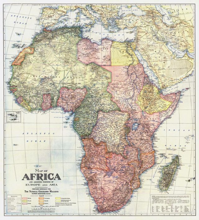
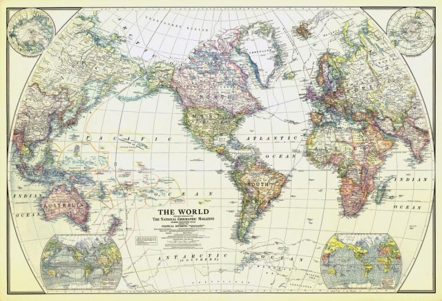
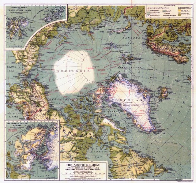
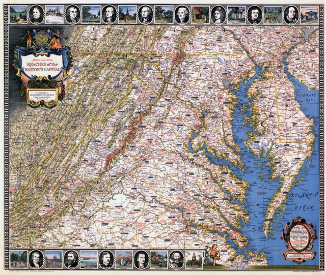
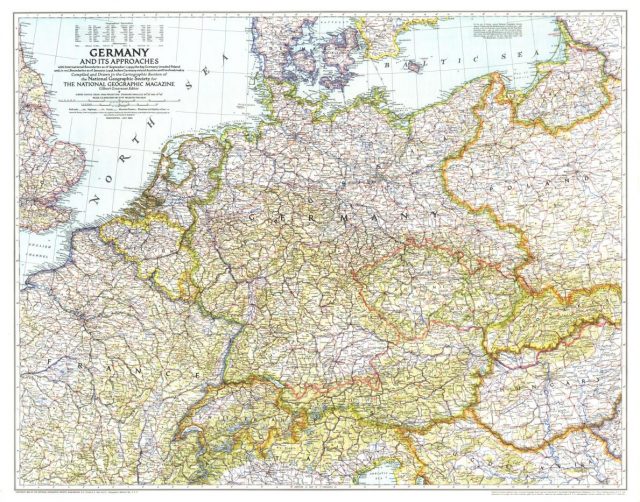
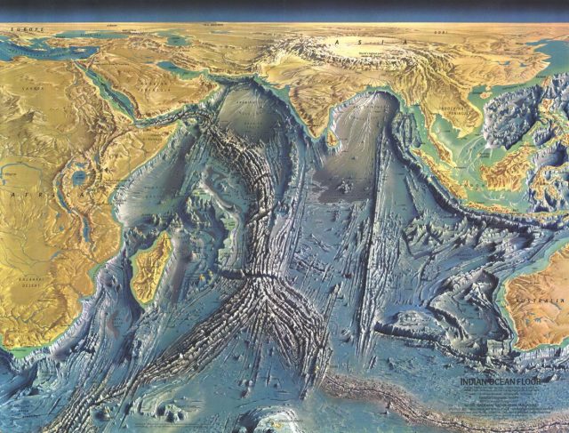
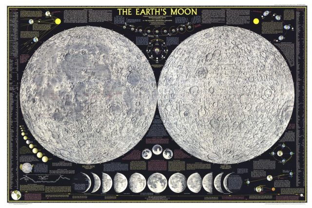
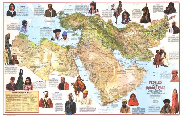
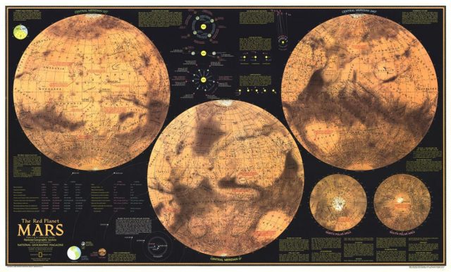
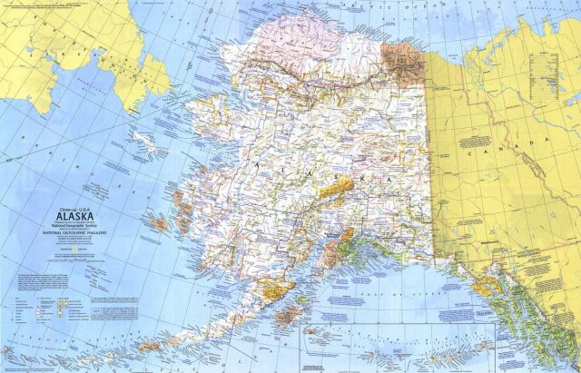
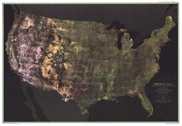
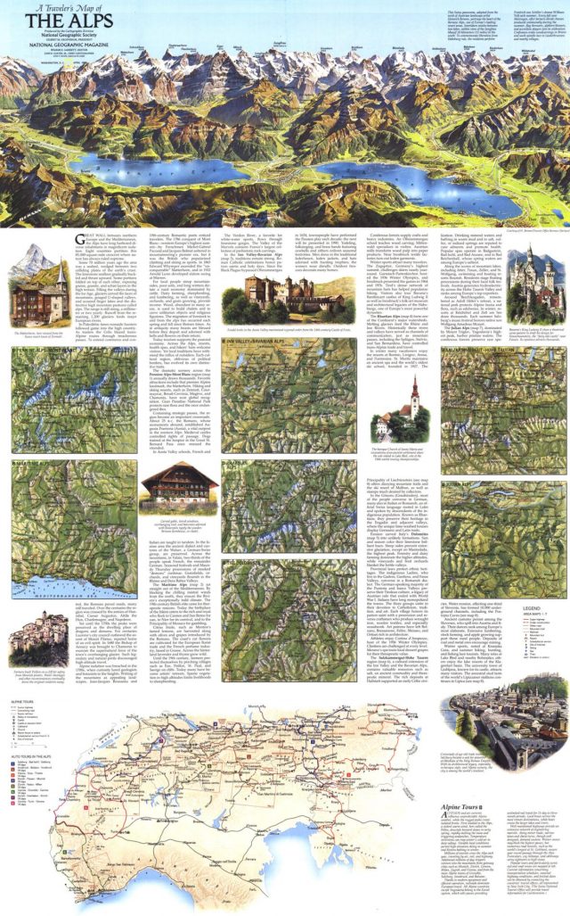
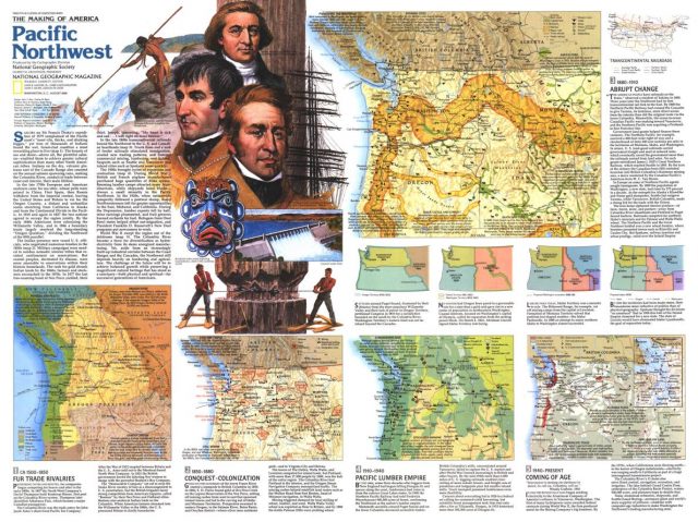
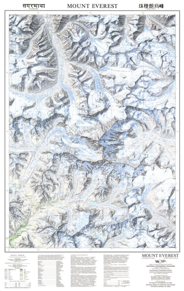
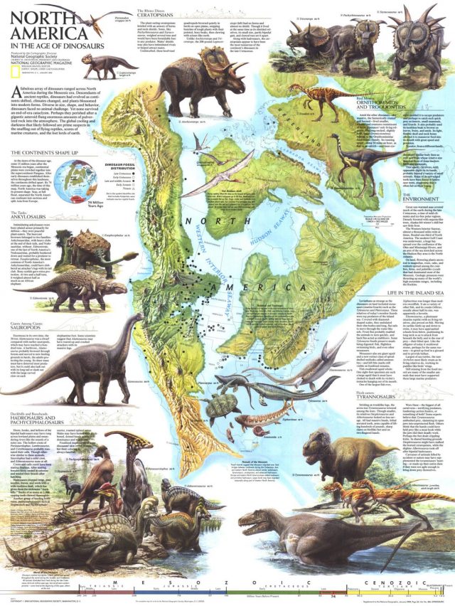
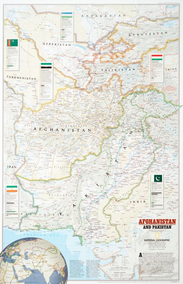
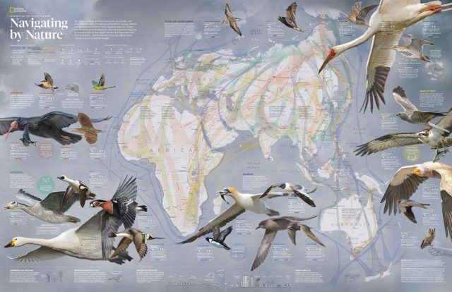
Glance through some of the most memorable maps created by the magazine below. The collection includes pioneering maps of the ocean floor, a map of the moon published just months before the first astronauts set foot on its surface, stunning maps of landmarks like the Mount Everest, World War II-era maps of Germany and the South Pacific to a map of Afghanistan produced for the December 2001 issue, as well as maps of animal migrations and ancient cultures.


