
Satellite imageries have proved their significance in making crucial decisions for the human race. These imaging satellites are operated by governments and businesses around the world. Satellite imaging companies sell images under licence. Below you’ll find a list of 15 works where satellite imagery can be used.
1For past and present study analogies
Started in the 1970s, the Landsat missions are the longest-running earth observation missions in space. Digital records of these missions date back to the 1970s. Therefore, to understand the landscape change, the Landsat missions give us a snapshot back in time. Data collected in all these years have been prevented and can be viewed from space.
2For sustainable fishing
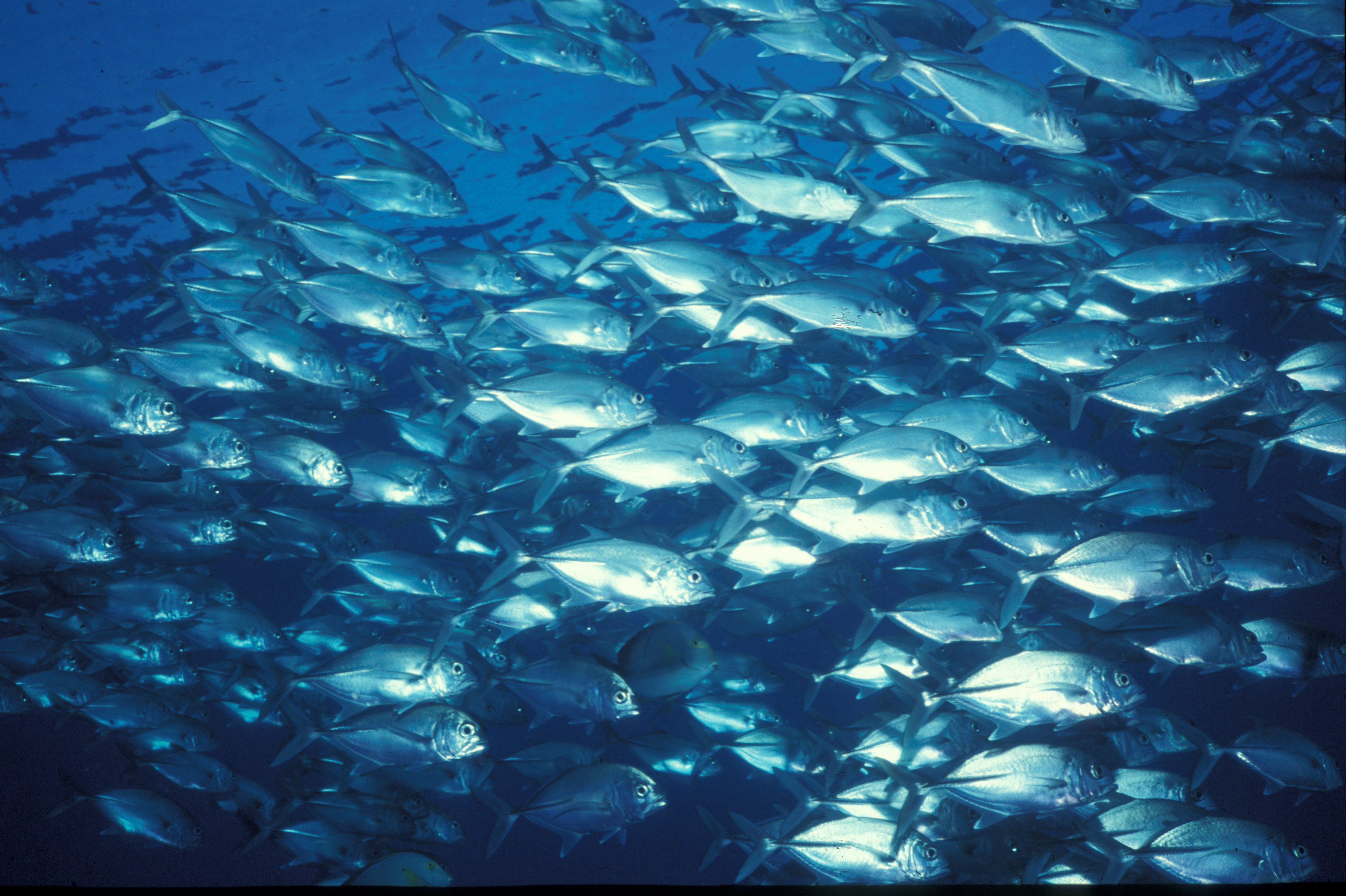
From the viewpoint of satellites, our oceans still have plenty of fishes. Satellites monitor sea surface temperature and ocean colors because they are indicative of specific fish species. The top-down view of remotely sensed data can be communicated with the local fishermen.
Fishermen use this information to save time and fuel in real-time. In terms of remote sensing applications in fisheries and marine environment, algal blooms can be mapped which are harmful to aquaculture.
3Recording video footage from satellites
A new, innovative approach that has entered the market is satellite video. Some remote sensing applications include watching airplanes depart/land, examining rush hour traffic and spying on your neighbour. These can all be done from the comfort of your own home. The future is of remote sensing software applications to process videos, instead of still images.
4Catching tax evaders

The application of using satellites for catching tax evaders is being widely used by the tax revenue agencies of the world. While municipalities across the world are increasingly adopting GIS technologies for property and various other taxes collection. From Athens, Greece to Bengaluru, India, cities of the US or any part of the world for that matter, has adopted the use of satellite data for tax collection.
5Observing human rights situations across the world
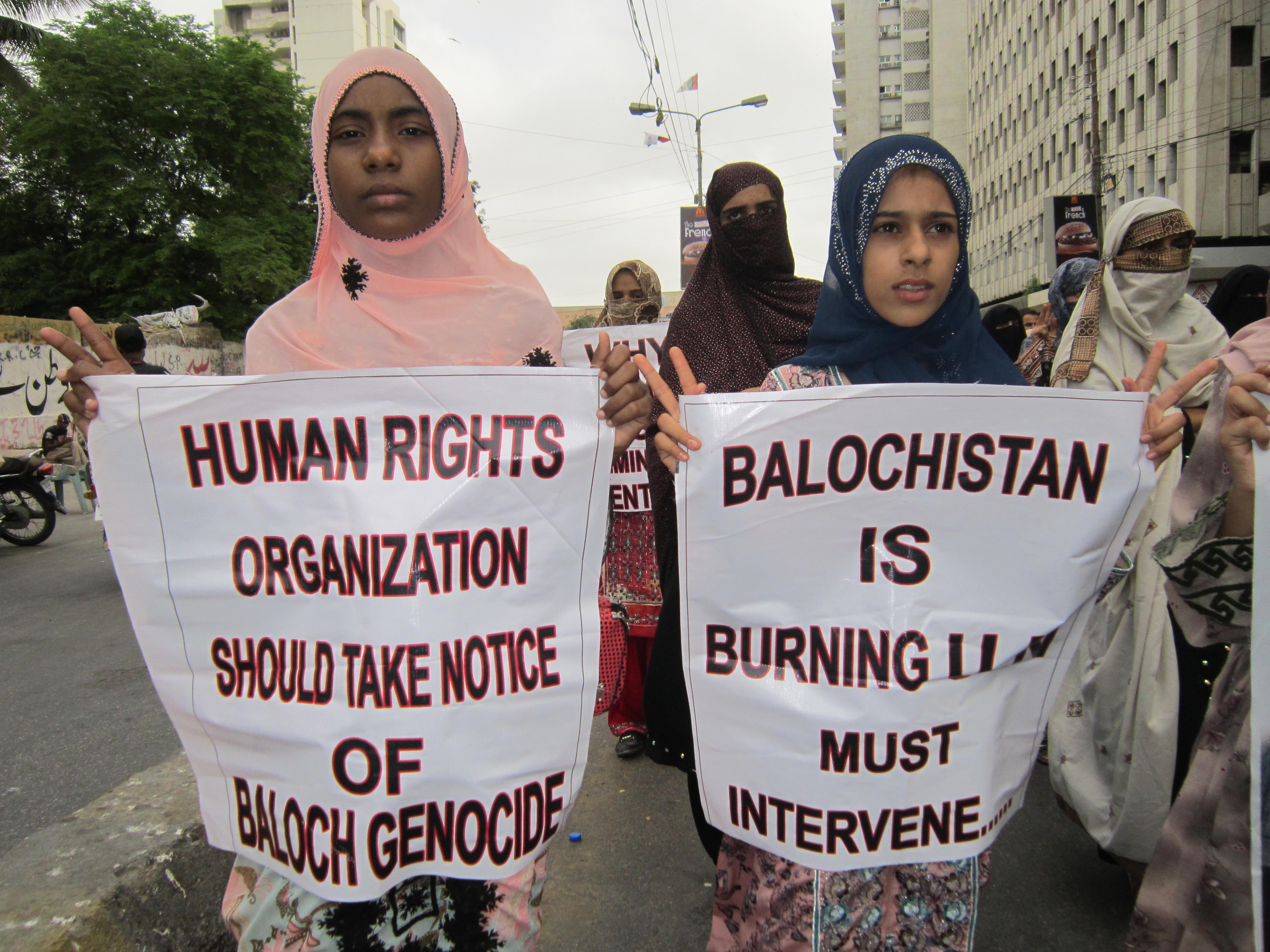
Remote sensing can give an in-depth look where people are being deprived from basic human rights. Remote sensing is a tool that improves detection of and potentially provides a deterrent to human-rights violations. Acts like killing members of a group; causing serious bodily or mental harm to members of a group; deliberately inflicting on a group conditions of life calculated to bring about its physical destruction in whole or in part; imposing measures intended to prevent births within a group; or forcibly transferring children of a group to another group come under the purview of human rights.
6Monitoring sex trade in remotest part of the world

The global sex trade is a growing international crime where one’s rights are violated through commercial exploitation. Often involuntary, the flow of human trafficking has been tracked using the latest satellite imagery from NASA. The flow of human trafficking often crosses boundaries and done secretively. Remote sensing makes it possible to overcome these barriers and provide evidence for human trafficking globally.
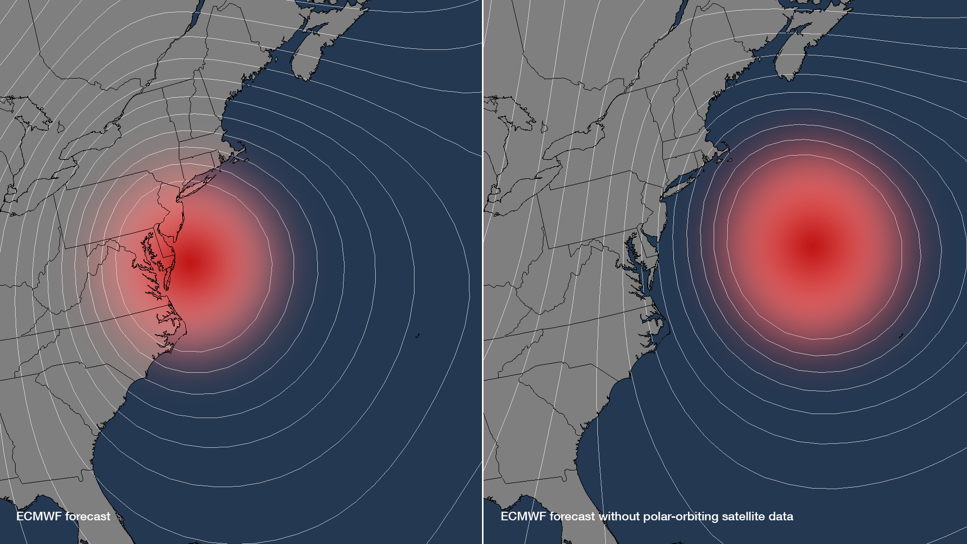
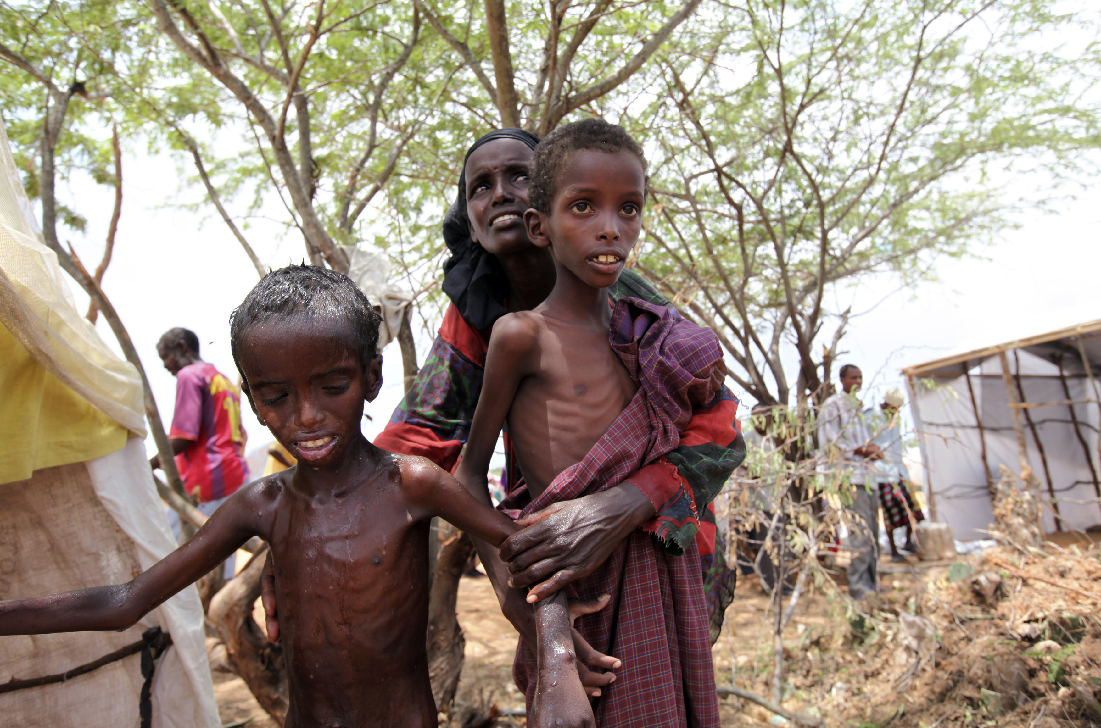
7Providing early warning signs for famine over large scales
Landslides are often under-represented for hazard research. But every year in the United States, landslides cause loss of life and billions of dollars in damage. The first step in inventorying potential landslides is using stereo and optical images with slope. Slope instability triggers can be a number of things – earthquakes, erosion, poor drainage and more. InSAR can provide early warning signs for landslides because how well it measures ground surface displacements.
8Observing population growth in urban areas
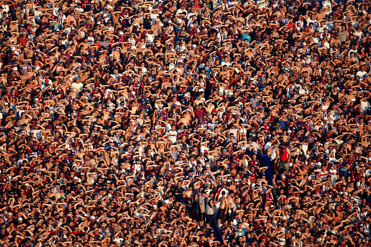
Urban planners want to know population growth and distribution to optimize development and improve the well-being of citizens. Land use change can be modeled to provide an accurate measure for population growth. Not only is it accurate, but land cover provided more detail for population growth distribution within cities and census tracts.
9Spotting undeclared nuclear power plants
The International Atomic Energy Association plans to verify the absence of undeclared nuclear power plants. A typical nuclear power plant contains at least one circular cooling tower with thermal emissions possibly being released. Nuclear plants are also located near bodies of water and more than often connected with a road or railway.
Given this set of criteria, the use of object based classification and multispectral imagery aims at automating the search for undeclared nuclear power plants. Not a bad start – 5 out of 5 were already successfully automatically identified.
10Spying on enemies
In the world today, militaries are harnessing the power of satellite imagery to retrieve intelligence on enemies. As for remote sensing applications, reconnaissance satellites go all the way back to the 1950’s US Corona Program. Its purpose was to spy on the Soviet Union and China after the war. But satellites have come a long way from taking photographs and parachuting down to the surface.
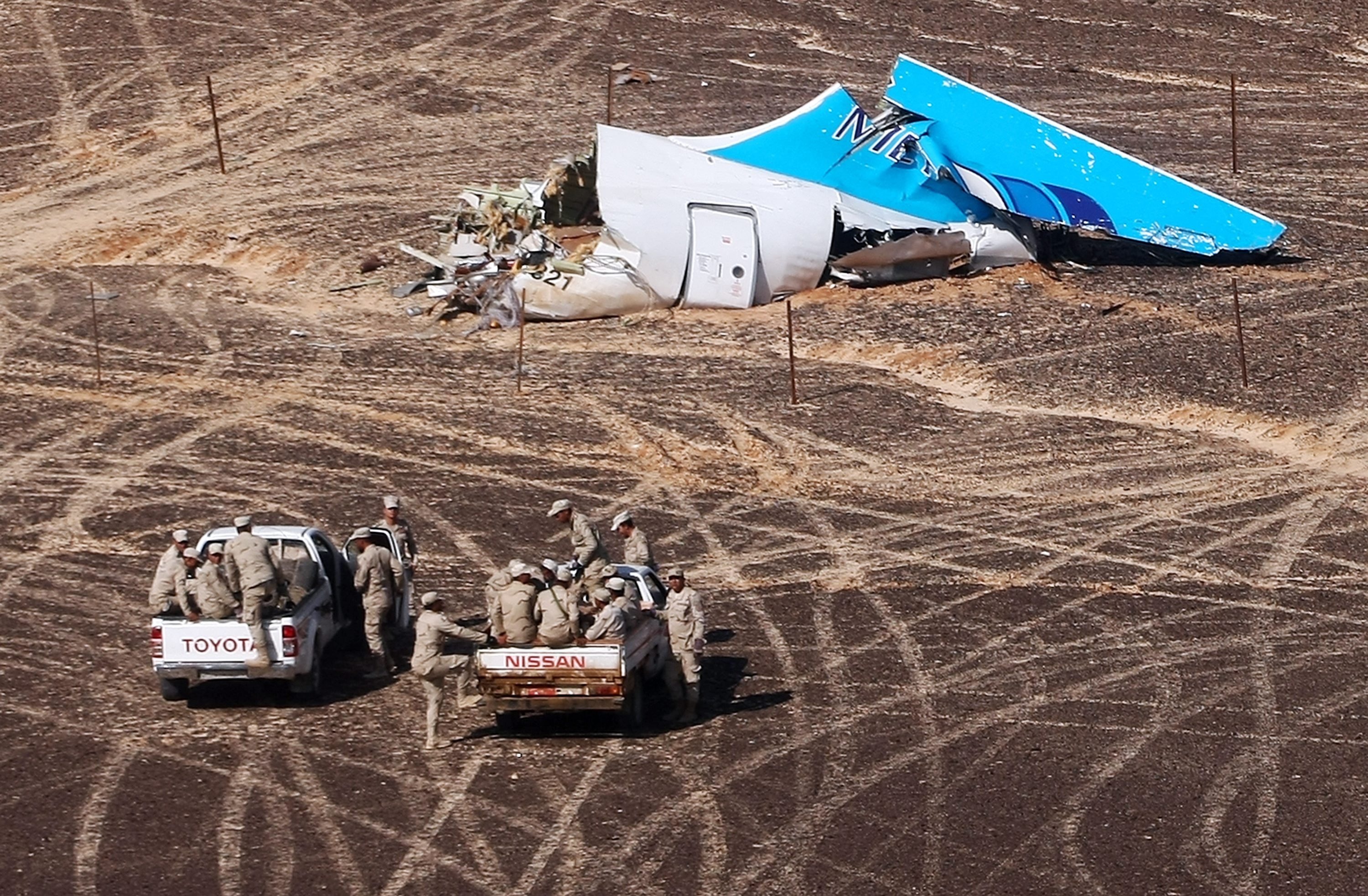
11Narrowing down a search for a missing body
Remote sensing can save time, money and manpower in locating missing people. Crime detectives want to narrow down their search before they go in quest. Remote sensing tools can explore the search area with a fine-tooth comb and pick up anomalies on the ground. This could include anything from a rabbit hole to the crime scene, itself. This is truly time saver if you have a rough idea of the search location.
12Finding ghost cities on the map
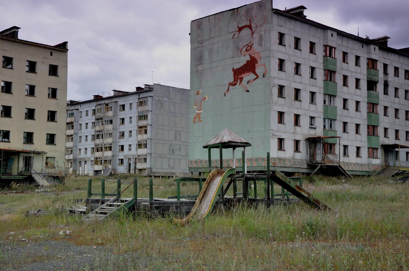
Satellite imageries have shown construction of some of the most peculiar apartments, shopping malls and other amenities. But practically nobody lives there. So in a way, satellites can indicate how real or artificial economic growth is.
13Monitoring oil reserves by looking at floating oil roof tanks

All it takes to monitor oil reserves from the sky is a bit of geometry and some high spatial resolution imagery. Oil tanks are usually circular with a floating roof tank to prevent evaporative losses. Satellites can look at how much shadow is being casted in relation to the floating roof. More shadows means less oil reserves. Remote sensing applications like this make use of satellite imagery without having to physically measure each oil tank.
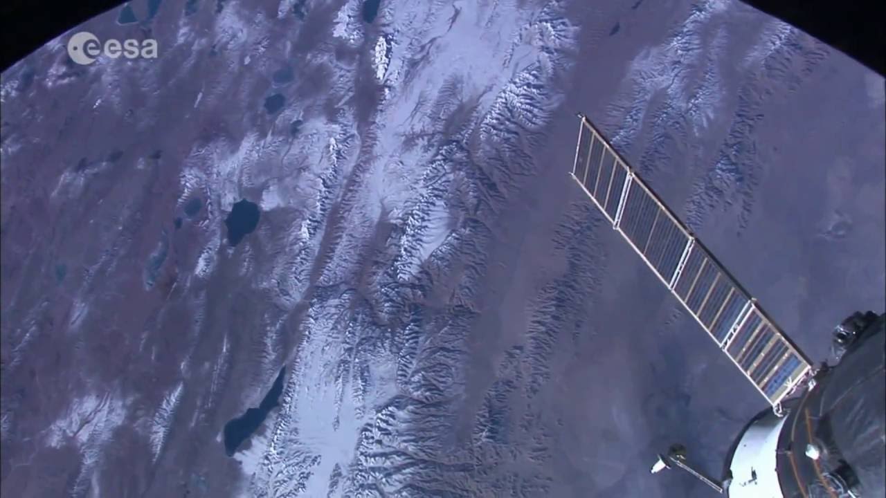
14Exploring, protecting and navigating in the arctic

Things are kind of in flux now for ‘who’ is claiming ‘what’ in the Arctic. The US, Russia, Canada and Danish are all staking their territory. But no one can tap the Arctic until all countries come to an agreement. Mineral extraction, natural gas, as well as potential shortcuts for shipping routes – the Arctic may be one of the last great frontiers for human development. Heavy duty tasks like sea ice monitoring, ship tracking and national defense makes satellites a heaven-sent opportunity for maintaining sovereignty in the North.
15Fighting wildfires
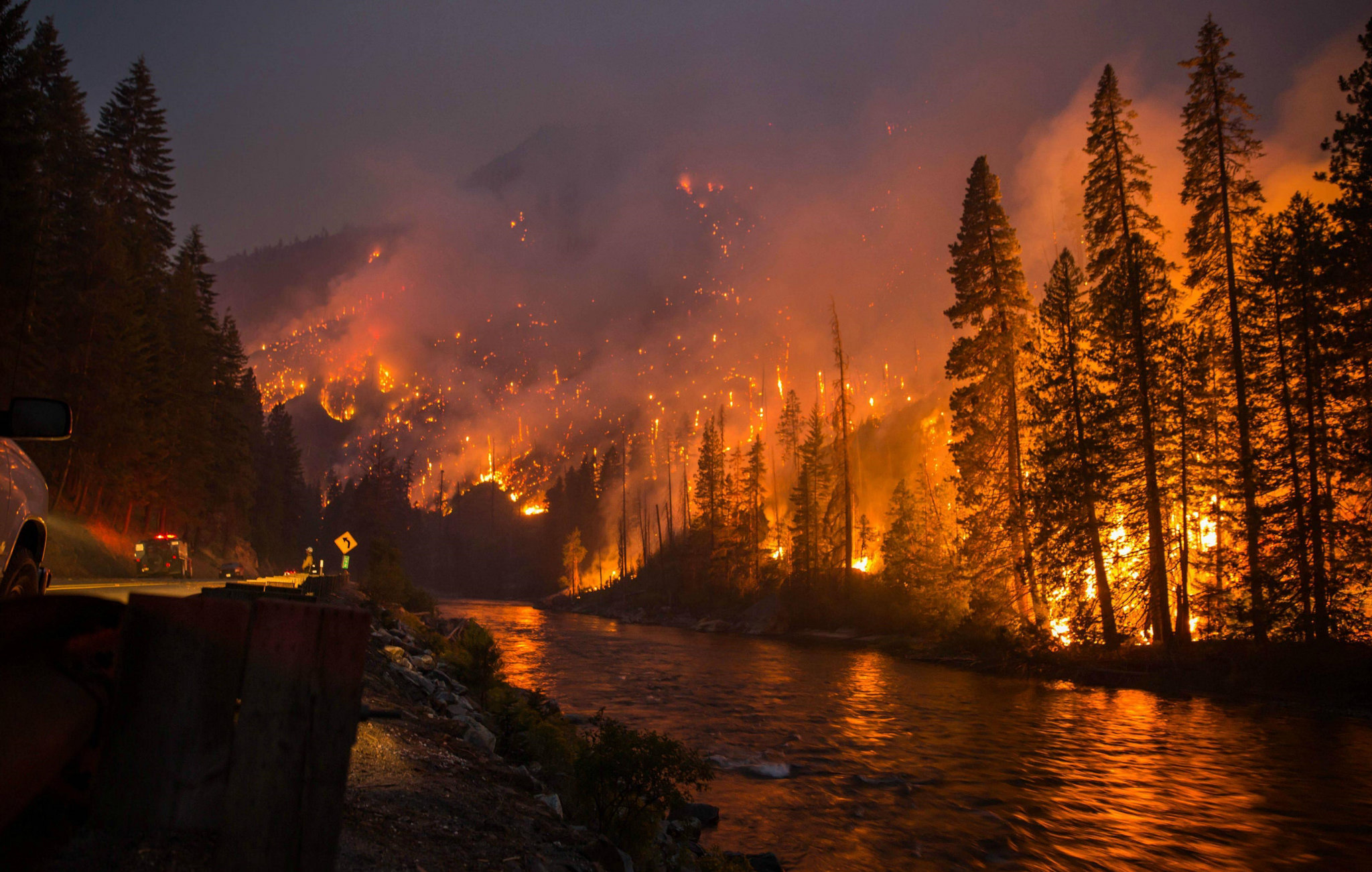
Wildfires cause serious damage to property and even loss of life. For these reasons, there is a need to control wildfires and lessen their impact. Satellite data enables firefighters to be dispatched with pinpoint accuracy. Operational satellites like AVHRR and MODIS are best suited because of their mid-infrared and thermal bands.


Comments are closed.