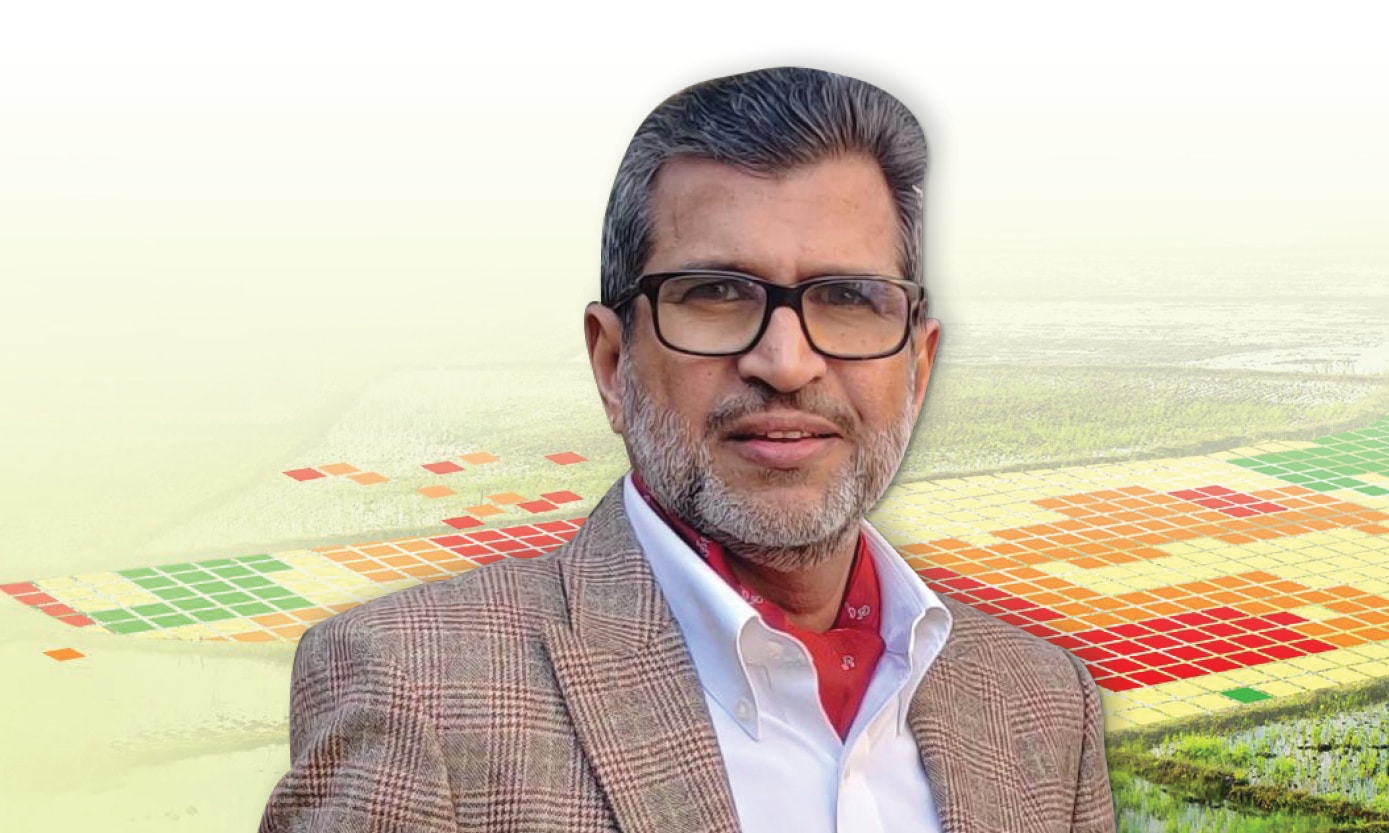
Food producers and agriculturists need GIS to understand the dynamics of agro-climatic features, evaluate risks, and work towards adopting sustainable agricultural practices and strengthening resilience,” says Agendra Kumar, MD, Esri India in an exclusive interview with Geospatial World.
Excerpt.
Government of India has made geospatial technology penetrate into the rural fabric of the nation with its flagship schemes like SVAMITVA, Har Ghar Jal, Digital India to name a few. How is Esri India contributing in empowering rural India with its geospatial technologies?
Rural communities face unique challenges. Poverty, social inequalities, and lack of education make them disproportionately vulnerable to disruptions including natural disasters and health-related hazards. By bringing together all the rural subjects together on a unified platform, GIS aids in strengthening rural resilience and empowerment of the rural communities.
Food producers and agriculturists need GIS to understand the dynamics of agro-climatic features, evaluate risks, and work towards adopting sustainable agricultural practices and strengthening resilience.
By integrating location intelligent IoT based devices, and farm infrastructure, geo-enabled precision agriculture offers transformative economic potential for sustainable climate-smart-agriculture.

Integrating location-intelligent supply chain infrastructure with financing and farming activities on a GIS platform strengthens the market linkages and reduces losses.
Esri India’s home-grown solution product, Indo ArcGIS offers unique solutions and data products that can effectively address the challenges in rural areas and lead to informed decision-making. These solutions are supported by 900+ layers of Indian data sets through the Indian edition of ArcGIS Living Atlas.
Indo ArcGIS includes data and solutions products specially curated for addressing the challenges related to land administration, disaster management, natural resource management, water resource management, agriculture, and more, in India.
These solutions can play a crucial role in rural development by providing valuable tools and insights for planning, disaster resilience, decision-making, and resource management.
What efforts are being made by Esri India towards creating conducive geospatial knowledge infra to spark innovation?
ArcGIS, which includes readyto- use, data hosting, and content management services, owing to its platform approach, plays a crucial role in setting up the Geospatial Knowledge Infrastructure.
It is a geospatial system of engagement that connects maps, apps, data, and people in ways that help organizations make more informed and faster decisions.
ArcGIS accomplishes this by making it easy for everyone in an organization to discover, use, make, and share maps from any device, anywhere, anytime. As a System of Systems, ArcGIS enables the creation of a sound geospatial knowledge infrastructure that facilitates innovation.
We are also working with 800+ colleges and universities to create a geospatially skilled workforce that adeptly meets the demands of industries.
The learning programs provide the students with realworld industry experience in using GIS software and learning best practices. Recently, we also partnered with the leading Indian Public Policy Think Tank Centre for Knowledge Sovereignty (CKS) to launch the ‘Master Mentors Geo-Enabling Indian Scholars’ (MMGEIS) program in the country.
MMGEIS is designed to set the stage for next-generation geospatial research and innovation by mentoring promising students under the guidance of leading scientists and innovators in the country.

As the geospatial industry shifts from services to solutions how do you think Esri India empowers Indian start-ups?
Esri India actively works with start-ups to provide them with early-stage technology support. We want to make location intelligence technology available to every start-up in India and pave the way for its large-scale adoption.
Indo ArcGIS packaged solutions make data products and Indian datasets readily available to start-ups, helping them to create innovative solutions for solving the most pressing social and business challenges.


Esri India has consistently ranked among the best places to work. Tell us more about your organizational ethos.
Esri India has always shown a strong commitment to creating a collaborative, transparent, and growth-oriented work culture.
We give a lot of emphasis on gender diversity; currently, women form over 37% of the workforce. Many women are occupying key positions and making valuable contributions to the success of Esri India and its customers.
“Trust, Transparency, and Teamwork” are intrinsic to Esri India’s DNA. We empower our employees and provide them with opportunities for learning and growth. Our values form the basis of our initiatives to foster a diverse, inclusive, and sustainable workplace.
The GPTW certifications reiterate our commitment to providing equal opportunities to all employees while building a people-centric & purpose-driven work culture, where everyone feels respected and valued.
What will be the impact of generative AI in the Indian geospatial landscape?
The year 2023 saw Generative AI gaining momentum and increased effort towards multimodal AI systems capable of comprehending and processing diverse information in the form of text, images, 3D, audio, video, and even brain activity.
It is anticipated that in 2024, there will be an increasing emphasis on real-time finetuning, empowering AI models to dynamically adapt and comprehend current data. This evolution will propel advancements in AI applications.
In the realm of geospatial, the application of AI fused with geospatial data, science, and technology is already accelerating real-world understanding of business opportunities, environmental impacts, and operational risks. We call this Geospatial Artificial Intelligence (GeoAI).
GeoAI is transforming the speed at which we extract meaning from complex datasets, thereby aiding us in addressing the earth’s most pressing challenges.
Organizations leveraging GeoAI are revolutionizing how they transform data into information, with models that adapt even as data evolves. This trend will continue to gain momentum in 2024.
What do you think is the role of geospatial in making India a resilient society and economy?
Geospatial thinking plays a critical role in building resilience and sustainability.
GIS provides unmatched capabilities to discover insights from data and transform how organizations and nations see, think, and act. GIS-based resilience frameworks are powerful for communicating, analyzing, and sharing information for solving complex problems.
GIS powers the nation’s resilience infrastructures with risk information and analytics, hyperlocal hazard detection and early warning systems, scalable data analytics (national, state, district, and community level), and tools for decision support and action on the ground which enable timely interventions towards strengthening resilience and adaptability.
As an intelligent nervous system with enhanced situational awareness, through its datadriven insights, GIS aids in sensing the health of ecosystems to plan and prepare and provides tools to respond and recover.


Be it economic (Energy, Infrastructure, Agriculture), Social (Urban, Rural, Health, Transportation, Public Safety), or Environmental (Climate) components, GIS empowers all the stakeholders equally with data insights and tools.
Most of these being dynamic in nature and intertwined with multiple factors, GIS plays a key role in facilitating planning, managing, and monitoring these subjects efficiently and effectively.
Governments across the world are turning to GIS technology to create usable information from the data they collect, and then analyze that information to understand and develop better strategies to solve problems and subsequently become more resilient.
The need of the hour, in India, is to create an integrated geospatial infrastructure that can help integrate social, environmental, and economic information in a way that enables them to gain greater insight into complex situations, make datadriven decisions on where to act, and apply resources and collaborate across organizations and around the world.
With its simplification and deployment on the web and in cloud computing as well as the integration with real-time information (the Internet of Things), GIS promises to be a robust platform for building a nation’s resilience framework.
As a community, we need to apply all our GIS knowledge and learnings from the past to develop a better understanding of the risks and vulnerabilities that are specific to our nation and then, build solutions for a more resilient future.