About Speakers
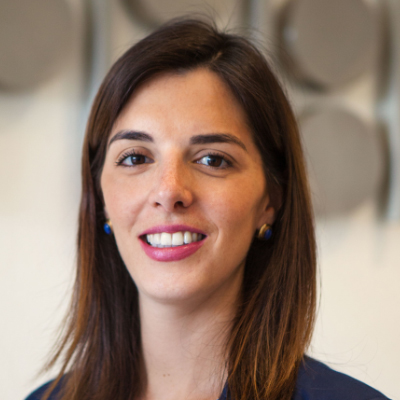
Ms. Paloma holds a Bachelor's degree in Economics from the Autonomous Technological Institute of Mexico (ITAM) and a Master's degree in Public Administration in International Development from the Kennedy School of Government at Harvard University.
In April 2017, she was appointed Vice President of the National Institute of Statistics and Geography (INEGI), coordinating the work of the National Subsystem of Geographic Information, Environment, and Urban Planning. In December 2017 she assumed the Presidency of the United Nations Regional Committee on Global Geospatial Information Management for the Americas (UN-GGIM). Previously; she worked at the Ministry of Social Development as General Director of Evaluation and Monitoring of Social Programs, and at the Mexican Institute of Social Security as Coordinator of Strategic Research.
She has participated as a consultant for the government and for private companies working on economic and social development issues. She has also been a consultant for international organizations such as the World Bank, working on water projects in Indonesia, and for the International Finance Corporation (IFC) on evaluation issues. She has volunteered at BRAC, Bangladesh, the Children's Fund of Mexico, Grameen Bank and the IMSS Volunteer Program. Her interests lie in generating high quality accessible information for decision making.
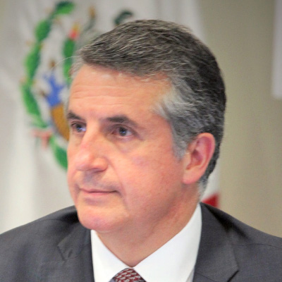
Mr. Julio A. Santaella received his Bachelor's degree in Economics from the Instituto Tecnológico Autónomo de México (ITAM). He holds a Master´s degree and a PhD in Economics from the University of California (UCLA).
Since January 2016, he has been the President of the Instituto Nacional de Estadística y Geografía (INEGI), the Mexican National Statistics and Geography Institute. From 2001 to 2015, Mr. Santaella served at the Bank of Mexico in several positions, including Executive Coordinator of the Mexican Petroleum Fund, and Director of the Central Bank Operations Support.
Previously, in the academic field, he was researcher and teacher at the ITAM (1985-86, 1997-2003), Coordinator of the Applied Economics Center, and Chairman of the Economics Department.
From 1992 to 1997 he served as an economist of the Research Department and the European Department I of the International Monetary Fund, and from 1984 to 1987, he was Chief of Department of Macroeconomic Policy in the Finance Ministry.

Ms. Anna Wellenstein is the Regional Director of Latin America and the Caribbean in the World Bank's Sustainable Development Practice Group. Ms. Wellenstein is responsible of the World Bank's agriculture, climate, disaster risk management, environment, land, social, urban, and water portfolios in the region.
Prior to this, Ms. Wellenstein was Director of Strategy and Operations of the World Bank's Social, Urban, Rural and Resilience Global Practice; where she oversaw 25 billion USD in lending to developing countries in over 200 projects, 325 studies and technical assistance projects. She was a key member of the Global Practice's senior management team that set strategy for analytics and financing in areas such as disaster risk reduction, urban renovation, and geospatial technology. She also oversaw partnerships with bilateral and regional organizations of the United Nations.
Ms. Wellenstein has over 20 years of experience in urban development and infrastructure. She has led efforts to design and finance investments, facilitate policy reforms, and build capacity to help developing countries reduce poverty and boost equity. She has been responsible for technical oversight of new projects financed by the World Bank, the portfolio quality of ongoing projects, and setting sector and country strategies. She has developed strong partnerships with governments from different countries, as well as development agencies and academia.

Managing Director of Ordenance Survey International. Steven is Visiting Professor at the Institute for Future Cities at the University of Strathclyde, Glasgow and SASNet Fellow at the Urban Big Data Center at the University of Glasgow
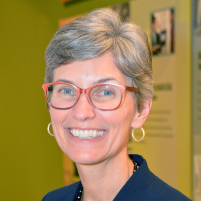
Ms. Deirdre Dalpiaz Bishop is Chief of the Geography Division at the U.S. Census Bureau, where she leads a staff of over 200 employees in the development of a national geospatial database. This database of addresses, roads, and boundaries creates the foundation used to support the 2020 Census and ongoing surveys. Deirdre received her Master's degree in Public Administration from New York University and her Bachelor's degree in urban studies from Lehigh University.

Dr. Burkett is Chief Scientist for Climate and Land Use Change (CLU). In this role, she provides scientific leadership and guidance for several USGS programs, including the Land Change Science Program, the Land Remote Sensing Program, the National Climate Change and Wildlife Science Center, the Climate Research and Development Program, the Carbon Sequestration assessments, and the Earth Resources Observation and Science Center. She serves as Co-Chair of the US Global Change Research Program, which is comprised of 13 federal science agencies that are in charge of implementing the US Global Change Research Act of 1990

Mr. Tan Boon Khai is Chief Executive of Singapore Land Authority (SLA). He joined SLA in May 2015 from CapitaLand Limited, where he was involved in real estate and was the Regional General Manager for The Ascott Limited in Singapore and Malaysia. Boon Khai graduated from the University of Nottingham, United Kingdom in 1995 with a Bachelor of Laws (Hons) (First Class) and was admitted as an Advocate and Solicitor of the Republic of Singapore in 2001.
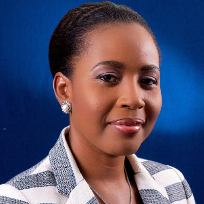
Ms. Valrie is the founder and Managing Director of GeoTechVision and Executive Chairman of Marlie Technology Park Ltd. She is a certified GIS professional with over 15 years of experience in Geospatial Sciences and over 8 years' experience as an entrepreneur. She is the current president of the Caribbean Urban Regional Information Systems Association (URISA) Chapter, a board member for URISA International, a member of United Nations Global Geospatial Information Management (UN-GGIM) Americas Caribbean Project Technical Committee. She is also an accredited facilitator by the World Bank/ Infodev Women Innovators Network in the Caribbean (WINC) Accelerator Program, the immediate past president of Women Entrepreneurs Network (WENC) Guyana Chapter, and the Chairperson of the Small Business Council, Guyana.
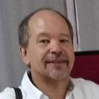
Mr. Miguel has a Bachelor and Master in Geography of UNAM. Responsible from August 2013 to date of the Mexican Transportation Institute in the inter-institutional group also conformed by the INEGI and the SCT for the realization of the National Road Network, unique and official geocartographic base of the country.
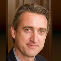
Mr. Trevor Taylor, currently responsible for Services for Asia and the Americas, has over twenty-five years of experience in the international Earth Observation community. With a background in Geography (Carleton University, Canada), Mr. Taylor has worked with the Canada Center for Remote Sensing, Dipix Technologies, Interra (now InterMap) Technologies and, for the last 15 years, PCI Geomatics, where his last position was Director of Business Development with a focus on Central and South America.
Mr. Taylor has significant global experience in a wide variety of technical, client services, project, business and strategic planning activities. Mr. Taylor was PCI Geomatics' business contact to OGC for the past decade, representing PCI and OGC interests at the technical, principal, principal plus and strategic levels, particularly in South America, India, China and Western Europe.

Mr. Coronado has a history of 18 years at INEGI, where he has participated in the implementation of national projects, related to the areas of Geography, Data Science and Big Data. He is also a senior PhD student with interests in the investigation of machine learning methods for the automatic classification of large volumes of satellite images.
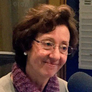
She is currently the Coordinator of the Global Center for Excellence in Gender Statistics. She is teacher of Demography at the Colegio de México, and sociologist at the Autonomous Metropolitan University. PhD candidate in Sociology, specializing in Population, from the University of Texas at Austin. She has more than 30 years of professional career in social research teaching workshops and program design, both academic and public policy. She has worked in autonomous organizations, for the Mexican government, in civil organizations and associations, and for the United Nations System in Mexico. With UN Women Mexico, she has been a specialist in equality policies and has participated in various projects, where diagnoses on the situation of women are specified; the cooperation in the design of indicator systems for the monitoring of equality policies, and the academic and virtual campus coordination of the Training Course in Statistics with a Gender Perspective, taught in Guatemala with a projection to Mesoamerica.

Surveyor graduated from the University of Buenos Aires. Specialist in Spatial Data Infrastructure (IDE) of the Polytechnic University of Madrid. President of the National Geographic Institute of Buenos Aires. President of the argentine national section of the PAIGH. Member for South America of the UN-GGIM Board of Directors: Americas. Full academic member of the National Academy of Surveying. Regular adjunct professor of the Engineering in Surveying degree at the universities of Buenos Aires and the National Defense.
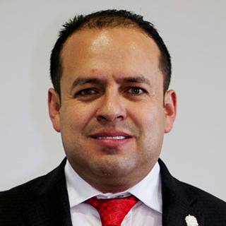
Industrial and Systems Engineer from ITESM, Zacatecas Campus, with complementary studies at the University of Burgos, Spain. He has a Master's degree in Politics and Public Management from ITESO, in Guadalajara, Jalisco. He has doctoral studies in Government and Public Administration, from the Complutense University of Madrid, Spain.
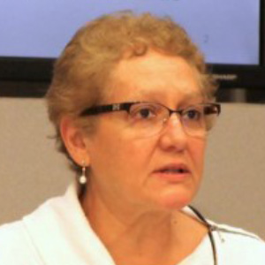
Born in Mexico City on August 10, 1955. PhD in Economics from the University of California, Riverside. Academic at different universities in Mexico and the United States, with extensive experience in international organizations, mainly within the United Nations (UN). Dr. Alarcon recently served as Head of the Policy and Development Analysis Unit at the United Nations Department of Economic and Social Affairs (UN DESA). From this position, she led the editorial team of the World Economic and Social Survey, the world's largest publication on development data. In the United Nations Secretariat she played a leading role in the preparation of analytical contributions to the intergovernmental processes that defined the 2030 Agenda for Sustainable Development.
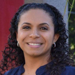
Ms. Nadia has a Master's degree in Education, she graduated from the Universidad del Valle de Atemajac, she has a Bachelor's degree of Computer Engineering from the University Center of Exact Sciences and Engineering of the University of Guadalajara. Since December 2018, she has been the General Director of Strategic Programs of the Secretary of Education of the State of Jalisco.
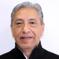
Biologist Jorge Arturo Rosales Hernández was born in Mexico City. He graduated from the Faculty of Sciences, UNAM in 1974. He worked in the former Directorate of National Territory Studies (DETENAL), now part of INEGI, from 1980 to 1992, in the remote sensing department. He has a diploma in Environmental Management from the University of Guadalajara (C.U.C.S). He lives in the City of Aguascalientes. He currently works at the Municipal Institute of Planning of the state of Aguascalientes, Mexico. With more than thirty years of experience in cartography and remote sensing. He has been applying this knowledge in urban studies for twenty years.
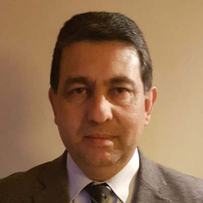
Bachelor of Military Science. General Staff Diploma. Programmer Analyst (ORT University). Born in Tacuarembó on January 5th, 1971, he entered at the Military School in February 1987, from which he graduated as an Engineers Officer in December 1991.
In 1994 he went on to serve at the Military Geographic Institute, for 16 years he integrated the different Technical Divisions of it (Geodesy, Topography, Cartography, Photogrammetry, Geographic Information Systems and the Computer Division).
He is currently serving as Deputy Director of the Military Geographic Institute.
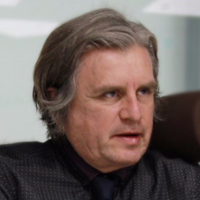
Tonatiuh Suárez has a degree in Human Township Design from the Autonomous Metropolitan University and a Degree in Criminalistics and Criminology from the International Academy of Forensic Sciences Training. He is finishing his degree in Mathematics and has a Master in Urban Planning by UNAM. Mr. Thonatiuh is currently General Director of the Single Housing Registry, and he has been Professor at UAMEX and ITAM, collaborator of PUEC-UNAM and, for more than 20 years, he has been working as Geomarketing, geostatistical and geostatistical consultant criminology.
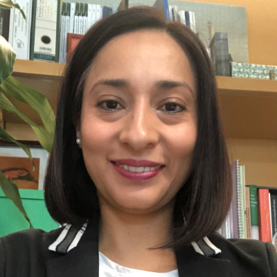
Economist of UNAM with diploma's in Environmental Economics and Environmental Consulting. He has worked in the federal government in the National Commission of Natural Protected Areas, the Secretary of Environment of the State of Mexico and since 2010 in the Mario Molina Center in the area of sustainable cities. Her main research topics are urban development, housing and mobility strategies to reduce polluting emissions.
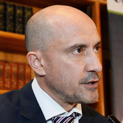
Manuel Suárez Lastra is Director of the Institute of Geography of UNAM. Bachelor of Political Science and Public Administration from UNAM, Master in Urban Planning from the University of California, Berkeley, and Doctor of Geography from UNAM. Researcher of the Institute of Geography, and member of the National System of Researchers since 2008, Level II. His current line of research is in urban structure and transport.
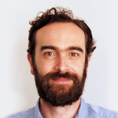
Andrés Lajous has a Ph.D. and Master in Sociology from Princeton University, has a Master degree in Urban Planning from the Massachusetts Institute of Technology (MIT) and a degree in Political Science and International Relations from CIDE. He is currently the Secretary of Mobility of Mexico City. He has written academic and opinion articles in national and international journals
Geologist Engineer graduated from the National Polytechnic Institute; with Master's studies in the graduate section of the Higher School of Engineering and Architecture; he has a diploma in Remote Sensing from the Agustín Codazzi Geographic Institute of Bogotá, Colombia and a diploma in Electronic Government from the Technological Institute of Higher Studies of Monterrey, he graduated from the Lead International Program. He currently holds the position as Deputy Director General of Natural Resources and Environment; during his career in this general direction he has held different positions and responsibilities in the areas of Geology and Hydrology.
Mr. Dean Angelides has worked with thousands of organizations to implement GIS technology to improve their operations and decision-making over his 40 year professional career. Nearly 30 years ago he co-founded a GIS services company located in California. He joined Esri in 2005.
Sandra Moreno is the Technical Director of the Geostatistical Division of the National Administrative Department of Statistics of Colombia - DANE. She has a degree in Cadastral Engineering and Geodesy with a Master's degree in Geographic Information Systems at the University of Salzburg Austria. Sandra, has experience in coordinating projects that integrate geospatial information to statistical work in the processes of design, production, analysis and dissemination of results.

Cadastral and Geodesta Engineer, Master in Geography and president of the Geocentric Reference System for the Americas -SIRGAS. He has experience in systems and frames of reference for geodesy, cartography and mining, as well as geospatial data management.
Mr. Ismael is a Biologist graduated from UNAM. He is currently in the process of obtaining the M.Sc. in Geographic Information Systems by UNIGIS Latin America, and collaborated in PROBOSQUE- State of Mexico, as restoration coordinator and watershed management and in the cartographic update of the forest inventory of the Mexico state. Nowadays, he works as a supervisor in the Management of Hydrogeology and Environmental Geology of the Mexican Geological Service, developing projects related to Territorial Ecological Planning, Environmental Impact Assessments and Risk Atlas for Natural Phenomena, in particular to Forest Fire Risk.
Dr. Ressl has worked in the area of Remote Perception and GIS since the 1993. He worked a total of 8 years at the German Aerospace Agency (DLR) as a researcher and finally as deputy director for the automation and environmental monitoring. Since 2005 is in charge of the General Directorate of Geomatics of CONABIO leading the Subcoordinations of GIS and Remote Perception.
Graduate in Geography with postgraduate specialist in Diagnosis and Environmental Management from the Universidad Veracruzana. Postgraduate specialist and Master's studies in Geomatics by the Center for Research in Geography and Geomatics, CentroGeo-CONACYT. Extensive work experience in the area of disaster risk management, geospatial data analysis, satellite images and field work. Experience in urban-regional planning projects and community management of natural resources. Professor of the subject of "geographic information systems and remote perception" in the faculty of sciences of UNAM (2016-2018). Experience in private companies in the coordination and administration of applications development projects and technological solutions focused on corporate geographic information systems. He is currently, focused on the analysis of geospatial data to respond to phytozoosanitary risks at a national level in the Sub-Directorate of Integration, Systematization and Geomatics of SENASICA.
Mr. Justino has a degree in Architecture from the Technological University of Mexico (UNITEC) with more than 10 years of experience in real estate market analysis, he has participated in projects to improve housing projects, offices, shopping centers. It actively participates in the development of new technologies for the use of geospatial information.
Mr. Debart is dedicated to the development of projects and business in the geospatial and land observation applications sector for the Norwegian company Kongsberg Satellite Services (KSAT). He has more than 12 years of experience in the satellite monitoring sector, having carried out projects in countries such as Mexico, Kazakhstan, Russia, United Kingdom, Norway, Canada. He has collaborated with governmental organizations (European Space Agency, European Environment Agency, Indian Space Agency) and private organizations (Oil & Gas Supermajors).
Mr. Debart has a Master's degree in Telecommunications Engineering from the Polytechnic University of Catalonia (UPC) and the Beijing Institute of Technology (BIT), and obtained a Postgraduate in Innovation Management from the University of Strathclyde (United Kingdom) in 2014.
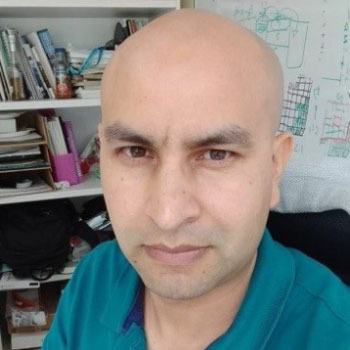
He has a Master's degree in Applied Statistics oriented to climate change issues, has more than 7 years of experience in the area of monitoring and verification (MRV) of GHG emissions from the forestry sector and is a member of the group of experts of the United Nations Framework Convention on Climate Change. In the last three years he has coordinated the design, testing and implementation of the Forest Monitoring Satellite System and currently serves as head of the Technical Unit Specialized in MRV of CONAFOR.

Ms. Rosario Casanova is a uruguayan Surveyor Engineer, with a master's degree in Territorial Planning and Urban Development, and a PhD in Surveying. Nowadays, she is the president of the Academic Network for the Americas of UN: GGIM. She is professor of the Department of Geomatics of the Institute of Surveying of the Faculty of Engineering at the University of the Republic, Uruguay, since 1994, and is director of the Institute of Surveying, since 2014. Ms. Casanova is a professor of the Lincoln Institute of Land Policy and has participated in several research projects since 2007.
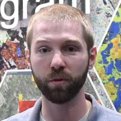
Jeremy Kirkendall is the Senior GIS Administrator of the NASA Disasters Program's Mapping Portal at NASA Headquarters. He is responsible for the curation of the NASA Disasters Mapping Portal which hosts disaster-relevant research, data, and satellite imagery from across NASA as well as web applications and story maps. Jeremy has 10 years of GIS experience and a Master's in GIS Management.
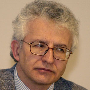
Mr. Fernando Tudela has had a distinguished career as a policymaker and academician. He served as Undersecretary of Planning and Environmental Policy at the Ministry of Environment and Natural Resources of the Mexican Federal Government, he has presided the Inter-Ministerial Committee for Climate Change and headed regularly the mexican delegation to the United Nations Framework Convention on Climate Change. He chaired the Climate Change Expert Group of OECD/IEA. Mr. Fernando was also a professor and research team leader at various academic institutions, including Metropolitan Autonomous University and El Colegio de México, and is the author of numerous books and articles relating to various aspects of environment and development.

Luis Humberto Araiza López has a Master in Administration graduated from Universidad Anáhuac. He has a diploma in Quality and Productivity, by the Institute of Technology and Higher Education, issued in the City of Monterrey, Nuevo León, on 02 of March 2012. Since 2018 he is Secretary of Tourism, Economy and Sustainability in the state of Baja California Sur.
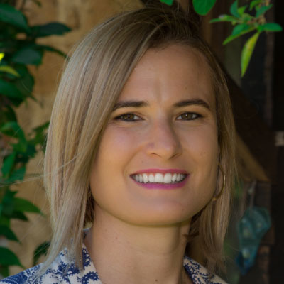
Felicia Line is coordinator of the Latin America Space Program of Ecometrica, a company with software as a service in the United Kingdom, she has 11 years of experience working on environmental issues in Mexico. She currently coordinates the 2020 Forests project in Mexico and Colombia, which is funded by the United Kingdom Space Agency, and aims to improve forest monitoring systems in 6 countries and promote innovations in the use of satellite data. She has a Master's degree in Environmental Technology from Imperial College, London and a degree in Geography from the University of Bristol.

Macarena Pérez is a Geographer and Master in Human Settlements and Environment; both studies carried out at the Pontifical Catholic University of Chile. Ms. Macarena served as head of the Goods Unit of the Metropolitan Region of the Ministry of National Assets. Additionally, she taught at the Geography Institute of the Catholic University, teaching undergraduate courses.
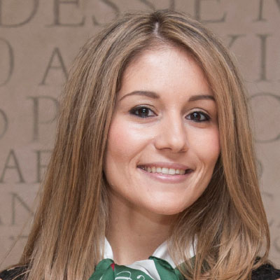
Dr. Kavvada is an expert on atmospheric science and climate dynamics who has extensive experience in promoting the use, and expediting the adoption, of Earth Science data for societal applications and in support of global policy frameworks, including the United Nations 2030 Agenda for Sustainable Development. Dr. Kavvada's primary background is on climate dynamics, including uses of observational analysis and dynamical modeling to gather insights on ocean-atmosphere interactions in the subpolar and tropical basins, and the hydroclimate impacts of low-frequency North Atlantic variability on adjacent continents. Dr. Kavvada serves as the Executive Secretary of the Group on Earth Observations (GEO) "Earth Observations and Sustainable Development Goals" (EO4SDG) Initiative and the lead for Earth Observations for Sustainable Development Goals activities at NASA Earth Science Applied Sciences Program. In her role, she has been scoping and tracking the overall progress and execution of the EO4SDG implementation plan, including a portfolio of NASA SDG efforts on prototype applications of NASA Earth observation data for the SDGs. Dr. Kavvada is also a member of the Committee on Earth Observation Satellites (CEOS) SDG Ad Hoc Team, the IAEG-SDG Working Group on Geospatial Information, and the U.S. Inter-Agency Working Group on Data for the SDG.

Research profesor. Benemerita Autonomous University of Puebla. Head of the Earth Sciences Laboratory. 2004-2013.
Project manager at CONACYT. With research lines in Geohydrology, Volcanology, Meteorology, Seismology and Remote Sensing. Mr. Rogelio Ramos is a member of Registry of Accredited Assessors at CONACYT, of the Association of Volcanology and Chemistry of the Earth''s Interior, of the International Association of Hydrological Sciences, of the Pan-American Institute of Geography and History, of the Thematic Network at CONACYT Socio-Ecosystems and Sustainability, and of Ibero-American Energy, Water and Efficiency.
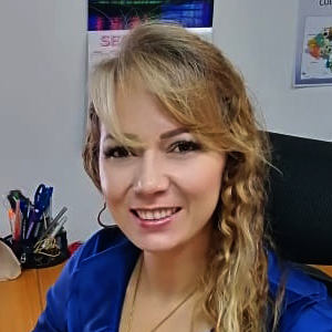
Ms. Handal is an architect specialist in Planning with emphasis on risk management, gender and early recovery with a Master in Natural Resources and Environment Management. Vice President of the national section of Honduras of the PAIGH. With more than 20 years of experience in the management of cadastre, with integration in the land registry, management of geographic information systems, development of local plans, urban planning and management of cadastral projects.

César Fernando Rodríguez Toméo was born in Montevideo, Uruguay, on August 26, 1964.
Since February 7, 2018, he has been the Secretary General of the Pan American Institute of Geography and History (PAIGH).
He has a Post-Graduate Degree in Business Administration and a Master in Business Administration (MBA) from the Catholic University of Uruguay.
Mr. Cesar is a Military Engineer with specialty as a Geographer, having completed different training courses in the field of Geographical Sciences in Uruguay and abroad (Agustín Codazzi Institute of Colombia and Cartographic Institute of Catalonia, twice).
Mr. Cesar served for two years as Deputy Director of the Military Geographic Service (SGM) of Uruguay (2010-2012) and for four years as Director (2012-2016); concomitantly with the position of Director of the SGM, he held the Presidency of the National Section of the Pan American Institute of Geography and History (PAIGH) of Uruguay.
Mr. Cesar acted as a United Nations Military Observer for periods of one year in Western Sahara and Ethiopia-Eritrea.
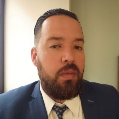
Mr. Jordan has a Bachelor of Design for Graphic Communication. Computer Systems Engineer. He is and expert in processing High and Medium Resolution Satellite Images, expert in Remote Perception for spatial data analysis, in analysis and development of spatial algorithms for its implementation in geospatial systems.
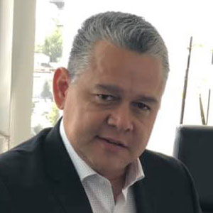
Graduate in Law from the Universidad Anahuac Mayab de Mérida, Yucatán. He has a Master's degree in Public Administration from the same university. He studied the International Master in Multipurpose Cadastre and Appraisals at the University of Jaén in Spain. He is currently General Director of the Geographic and Cadastral Institute of the State of Quintana Roo.
Geographer, graduated from the University of Panama. Master in Geographic Information Systems, Remote Sensing and GIS focused on Territorial Planning by the University of Valladolid, Spain. Ms. Isis has an MBA with emphasis in Project Formulation and Evaluation and in Human Resources, both of the Universidad Panamericana. She is the Coordinator of the Panamanian Infrastructure of Spatial Data. She served as director in charge of the National Geographic Institute "Tommy Guardia" in recent months. Since 2015, she has been a project evaluator for technical cooperation by the IPGH Cartography Commission.

Mr. Octavio del Conde is and architect from La Salle University. Consultant in projects related to Geographic Information Systems for the World Bank, the World Meteorological Organization and the Inter-American Development Bank. As Director General at BSI, he has carried out projects nationwide and forged commercial alliances, making BSI a principal partner of Google Maps Mexico and working on the growth with his most recent partners: Hexagon Geospatial and MAXAR.
Dr. Antonia Macedo Cruz, is a research professor of the Graduate College, Campus Montecillos. PhD in Physical Sciences from the Complutense University of Madrid, Spain. Graduated with praise, with the recognition "Cum-laude". She is currently the leader of the generation and application of knowledge line "Integral Management of Watersheds and Climate Change", of the Graduate College. She is a member of the Basic Academic Core of the Doctorate in Hydro-Sciences and has a Master in Hydro-Sciences. She has coordinated the management of satellite images as Manager of the Graduate College, accredited by ERMEX-NG and SIAP-SAGARPA (from August 2013 to date). She is an expert in pattern recognition, artificial vision and remote sensing. Developer of an automatic classification model for multispectral images. She has published several scientific articles in the field of remote sensing and artificial vision applied to agriculture and natural resources. Human resources trainer, graduating in the last 4 years, 17 graduate students, 8 as director and 9 as advisor.
Steven has been at Oracle since 1994, and is vice president in engineering, where he is responsible for advanced technology development for areas of Spatial/Geospatial, Semantics, Graph Databases, Imaging, and portions of the Big Data, Cloud, and High Availability technologies within the Oracle product set. He is representing Oracle on the Open Geospatial Consortium board of directors where he actively pursues evolving the standards in support of customer geospatial needs and is leading the development team that rapidly evolves Oracle product to keep pace with those standards. He is also an industry observer on the United Nations Committee of Experts on Global Geospatial Information Management (GGIM). Before joining Oracle, Steven spent several years at Digital Equipment Corporation, where he managed and led the engineering of the database products.
Mr. Luis Ramiro García has master's degree of Science in Agricultural Economics from COLPOS and is a doctor of Economics from the National Autonomous University of Mexico (UNAM). He has collaborated at the Chapingo Autonomous University (UACh) as a full-time Research Professor from 1982-2018, he was director of the Department of Agroindustrial Engineering of the UACh, 2002-2005. He has participated as head of several projects in the sugarcane agribusiness sector.
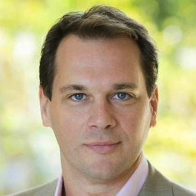
General Manager (Americas), for Esri, market leader in Geographic Information Systems(GIS) with over $1B in revenue and 4,000 employees. Oversee all aspects of channel management, including complete performance management, market development and high-touch customer engagement including positioning, structuring, negotiating, and closing deals. Coordinate multidisciplinary sector teams to support sales efforts and develop/execute channel capacity building plans
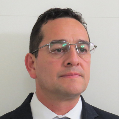
MSc. Ricardo Quiroga is a Research Scientist in the Terrestrial Sciences Lab at NASA Goddard Space Flight Center, Greenbelt, MD. His research interest's center on Disasters Risk Reduction focusing on applying Earth Observations to develop products and services directed to decision makers throughout the cycle of disasters. He leads the disaster group of the Americas Regional Group of Earth Observations-AmeriGEO and support the AmeriGEOSS data exchange system.

Dr. Tapia is an expert reasercher on the application of Geographic Information Systems (GIS), Spatial Analysis and Remote Perception (PR) in modeling of the environment, natural resources, hydrological cycle and its elements in ecosystems located in rural and urban areas . He has a Master's Degree in Applied Computing in GIS applied to water, in 2002, he obtained his doctoral degree at the Humboldt University in Berlin on a topic of water hydrological modeling in urban settings using GIS. He has a postdoctoral degree at Texas State University and German Geosciences Center. From 2003 to 2012 he served as a Senior Researcher at CentroGeo at CDMX. Nowadays, he is a Senior Research Professor at UAM-I and coordinates the Geomatics Laboratory applied to Natural Resources.
Mr. Guillermo has a Master in Geomatics and bachelor degree in Biology. He has been Project Leader at the Mexico Reception Station and in the Agrifood and Fisheries Information Service; the Ministry of Agriculture, Livestock, Rural Development, Fisheries and Food. Mr. Martínez is currently a Consultant for various projects related to the detection of invasions of Protected Natural Areas, modeling of potential areas for development of biological species, spatial analysis applied to territorial business planning, detection of land use change, disaster prevention and management and advice in handling of spatial analysis computer packages.

Mr. Guevara is a Mechanical Electrical Engineer from UNAM, and he has specialized studies in instrumentation, monitoring and alerting of natural phenomena in Mexico and abroad. He has a Diploma in Management of Disaster Prevention and Civil Protection Programs from the National Institute of Public Administration and the National Center for Disaster Prevention. Enrique Guevara has participated in working groups for the elaboration and modification of the Regulation of Operation of the Fund for Disaster Prevention (FOPREDEN) and the General Law of Civil Protection published in 2012 which include the vision of the Integral Management of Risks. He is currently the General Director of the National Center for Disaster Prevention (CENAPRED).
He has a degree in Actuary from UNAM. He is a Master in General Statistics at the Complutense University of Madrid, Spain, as well as a Master in Economics of Education and Labor at the Carlos III University. He has been General Director of Public Opinion of the Presidency of the Republic, Subsecretary of Sector Policy of the Secretariat of Agrarian Reform and Chief Director of the National Agrarian Registry. In March 2013, he was appointed Vice President of the Government Board of INEGI, in charge of the Geographic and Environmental Information Subsystem. As of August of the same year, he chairs the Regional Committee for the United Nations Committee of Experts on Global Geospatial Information Management.
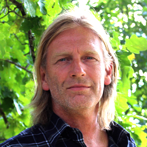
Richard Resl studied Geography at the University of Salzburg, Austria and was able to evaluate his studies as a Fulbright Scholar at the University of Washington, Seattle, USA. Mr. Richard is Founder and director of UNIGIS Latin America, the network of universities that trains professionals in the region in Geoinformation Sciences and GIS, through high quality postgraduate programs in virtual mobility. Since 1993 Richard has been a consultant at GIS and his research has addressed topics ranging from digital photogrammetry, modeling changes in land use, urban mobility, IDE for vulnerable areas and indigenous nationalities, and also participatory GIS with citizen management models for local planning, among others. His most outstanding initiatives include the construction of GEOcommunications in Ecuador, Latin America and a world level: AmazonGISnet, GeoCiudadano / GeoCitizen, GeoGalapagos, GeoBarrio and the Metroférico. Richard Resl is also an associate professor at the San Francisco University of Quito (USFQ) since 1999.

Ms. Mariana joined Deloitte in 2014 in the area of Data & Geospatial Analytics within the Real Estate, Construction and Tourism division. She has been an adviser for financial services companies in their real estate strategy of branches, transactions and leases. Ms. Guzmán has also advised different consumer and retail companies to enter new geographies and diversify their businesses. She currently leads the data lake project of Deloitte Mexico.
Graduated in Cartographic Engineering from the Rio de Janeiro State University (1987), she has a Master in Computer Engineering also from the Rio de Janeiro State University (2003). She acted as coordinator in registration projects, aerial photogrammetric mapping with the objective of preparing GIS in several private sector companies (1987 to 2001). She worked as a substitute professor in the UERJ Department of Cartographic Engineering. She joined IBGE in 2002, acting as manager of the SisCart Municipal Mapping System. In 2008, he assumed the Coordination of Territorial Structures, responsible for planning, organizing, coordinating, supervising and executing maintenance and control activities of institutionalized territorial structures, it holds the records for the consolidation of territorial networks and the operational foundations for statistical surveys. She coordinated the national production of Census Mapping used by the IBGE in electronic collection in the 2006 and 2017 Agricultural Census, the 2007 Population Count and the 2010 Population Census. She participated as a member of the GT of the SINTER Project - National Management System of Territorial Information, coordinated by the IRS. Brazil and the National Committee of Geoinformation Policy - CPNGEO / CONCAR, collegiate body of the Ministry of Planning, Budget and Management.
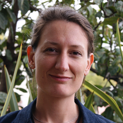
Céline is a Geographer by the Sorbonne and the Paris-Est University, France. She develops different citizen surveillance projects with open and collaborative data related to mobility, cities, with a gender perspective. She is co-creator of the RepuBikla, a platform for the generation of citizen data on active mobility. Ms. Ceéline is also a promoter of OpenStreetMap in Mexico in general. She is co-founder of Geochicas, a group of women in technologies and analysis of geographic data.
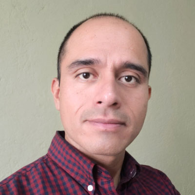
Dr. Gerardo Guizar has a degree in Urban Design, also has the Specialty in Automated Cartography, Remote Sensing and GIS, the Master in Spatial and Geoinformatics Analysis by the UAEMEX and is currently pursuing a Doctorate in Geography and Geotechnological Development. He has collaborated in territorial planning projects in Puebla and Tlaxcala, and has worked with SNIDRUS and INEGI.

Hector has undergraduate Studies in Geophysics Engineering and a Bachelor's Degree as Aircraft Technician & Avionics. Mr. Hector is a professional with over 20 years of experience in corporate affairs and business development in Latin America for the natural resources industry. Mr. Hector is currently de Geomatics Sales Manager of EAGLE MAPPING.
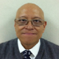
Miguel Ángel Rojano López studied Biomedical Engineering at the Universidad Autónoma Metropolitana Unidad Iztapalapa. Mr. Miguel has also a specialty in electronic medical instrumentation. He has developed different computer projects with the support of the National Autonomous University of Mexico, through the General Directorate of Academic Computing Services, Geography Institute, Engineering Faculty and Anthropological Research Institute. Mr. Miguel participated as a speaker in the diploma of Electoral Geography, organized by the postgraduate of Geography of the National Autonomous University of Mexico. He has participated as a speaker in International workshops organized by the UN, OAS and the INE for different countries in Africa, South America, Canada and the United States. He currently serves as Director of Electoral Cartography, having among his responsibilities the conduct of cartographic works in the National Electoral Institute, and the integration of the Electoral Geographic Information Systems of the INE and the Cartographic Consultation Systems.
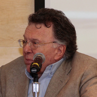
Mr. Boris Graizbord is a national researcher (SNI level III). He has been coordinator of the Advanced Studies Program in Sustainable Development and Environment (LEAD-Mexico) of El Colegio de México since 1995. He has been Academic Coordinator of the Urban Development Program of El Colegio de México twice (1984-1986 and 1994 -nineteen ninety five). He is a research professor at the Center for Demographic, Urban and Environmental Studies of El Colegio de México and from 1977 to 2011 he served as a subject professor in the Master's and doctorate in Urban Planning at the Faculty of Architecture of the National Autonomous University of Mexico, and since 1992 to date in the Master's degree in regional studies of the Research Institute Dr. José María Luis Mora was a Director of the Center for Social Development Studies and Coordinator of the Master's Program for Municipal Development at El Colegio Mexiquense (1986-1988).

Chris Percell is a LiDAR Technician at RIEGL USA. Mr. Percell has been with the RIEGL organization for over five years, focusing on providing outstanding customer service and support in regards to repairs, calibrations, and services rendered for the RIEGL North American clientele. He holds a degree in Organizational Leadership from the University of Cincinnati in Cincinnati, Ohio.
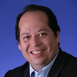
Javier is currently Business Development Manager for Mexico, Central America and the Caribbean. He has more than two decades of experience leading direct and channel sales in North America, Latin America and the Caribbean, developing an intimate knowledge of these markets and sales/ channel ecosystems. He specializes in the creation and implementation of GTM strategies that drive a radical operational change in emerging markets.
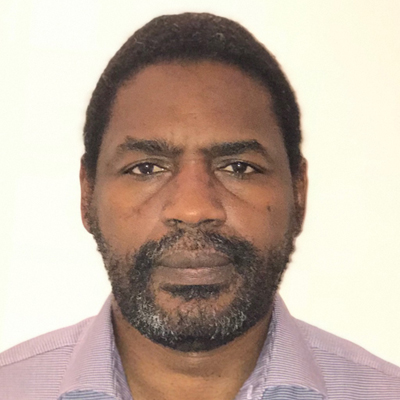
Dr. Sabo received his Ph.D. in Geomatics from Laval University, Canada. Currently, He is deputy director in charge of innovation at Canada Centre for Mapping and earth Observation, where he is leading projects such as geospatial AI and Data Cube. Dr. Sabo is also adjunct professor in Geomatics from two Canadian universities, University of Sherbrooke and Laval University.
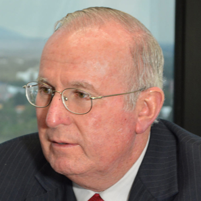
Mr. Mendienta has a Master and doctor in Engineering from the National Superior School of Telecommunications of France and an Electrical Mechanical Engineer from the Faculty of Engineering of the National Autonomous University of Mexico. In 1985, during the Morelos Satellite System program, he was the second alternate astronaut for the NASA-SCT (Satellite Launch Morelos II) STS 61-B mission and developed automatic space experiments for the SCT-NASA program with support from the SCT and Utah State University in the USA. In collaboration with the European Space Agency, Mr. Mendieta coordinated the participation of the Center for Scientific Research and Higher Education in Ensenada, Baja California, developing communications payload systems. He has received the "Emilio Rosenblueth" awards from the National Academy of Engineering; of the Mexican Academy of Optics; of "Ericsson Telecommunications", as well as the "Trajectory of Success" in San Luis Potosí.
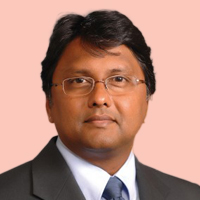
Dr. Navulur is the Sr. director of Global Business Development at DigitalGlobe. He is also President of DigitalGlobe Foundation, a non-profit organization who mission is to create geospatial capcity around the planet. Dr. Navulur received his doctoral degree from Purdue University in remote sensing and GIS and hasover 23 years of experience in geospatial industry. He is an active member of UNGGIM – United Nations Group of Experts of Global Geospatial Information where he represents private industry. He is the author of the book entitled "Multi-Spectral Image Analysis Using Objected Oriented Paradigm". He is also advisory boards of Geospatial media and communication and a private venture fund for agriculture investments.
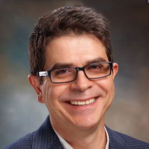
His is an expert on data science. For 28 years, he has been dedicated to understanding the needs of communities affected by social, gender and social inequities and the health and social service professionals who served them, and finding methods and strategies to empower them to use knowledge and data to be in control of their present and future.
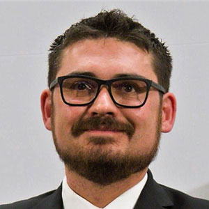
Architect graduated from the Technological Institute of Higher Studies of Monterrey (ITESM), with a master's degree in Creative Management and Transformation of the City from the Polytechnic University of Catalonia, in Barcelona (UPC).

Mr. Guevara is a Mechanical Electrical Engineer from UNAM, and he has specialized studies in instrumentation, monitoring and alerting of natural phenomena in Mexico and abroad. He has a Diploma in Management of Disaster Prevention and Civil Protection Programs from the National Institute of Public Administration and the National Center for Disaster Prevention. Enrique Guevara has participated in working groups for the elaboration and modification of the Regulation of Operation of the Fund for Disaster Prevention (FOPREDEN) and the General Law of Civil Protection published in 2012 which include the vision of the Integral Management of Risks. He is currently the General Director of the National Center for Disaster Prevention (CENAPRED).
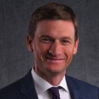
Mr. Canales leads a team responsible for the success and growth of direct and indirect sales channels in the Americas. During his 16 years with Maxar, Andrew has held various customer-facing roles and built a strong understanding of the challenges customers face and how geospatial products can help overcome these challenges.

Bentley Applications Consultant for the areas of Electrical Infrastructure, with more than 17 years of experience in cartography, cartography and infrastructure projects, using photogrammetry and conventional topographic, geodetic surveys, focusing on achieving customer value from the management of data and assets, visualization and exploitation of geographic data.

Mr. Uribe is an Agricultural Engineer who graduated from the Chapingo Autonomous University (UACh) and has a Master's Degree in Plant Physiology at the Graduate College (COLPOS). He has several publications related to the agricultural sector. He served as Technical Secretary within the Development Department at DICONSA where he coordinated the planning and evaluation of the operational and regulatory processes of the Rural Supply Program. He currently holds the position of Manager of Social and Productive Management at SEGALMEX.

Ms. Abrin holds a Master's in Mathematical Sciences from the National Autonomous University of Mexico (UNAM). She was Professor of the Faculty of Sciences of the (UNAM), Coordinator of the Department of Mathematics, Head of the Division of Professional Studies and General Secretary of the same Faculty. She was also a Professor at the Autonomous Metropolitan University (UAM), and Director of Linkage with Academic Institutions of INEGI. Ms. Abrin currently is Director of Support and Monitoring of INEGI Research project.
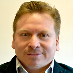
Dr. José Luis Silván Cárdenas is a Research Professor and Coordinator of the Postgraduate Program of the CentroGeo. He is a Computer Engineer and holds a Master's degree in Electrical Engineering from UNAM, as well as a PhD in Geographic Information Sciences from the University of Texas.

Ms. Gemma has a background in International Business (University of Guadalajara), a Master's degree in Social Responsibility (Universidad Anáhuac) and Sustainable Development (LEAD MEXICO at COLMEX). She has been a promoter of Social Entrepreneurship for 15 years, creating social enterprises in Jalisco for people with disabilities and female heads of family. Author of the book “Social Entrepreneurship” Business for Peace, LIMUSA 2017. Social Entrepreneur with Transfo: an organization that is dedicated to transforming philanthropy projects into social businesses; and with Ecotienda: stores of natural and organic products. Ms. Gemma has lived in indigenous communities for sustainable development projects, in the construction of housing and productive projects.
She was Deputy General Director at INADEM, Program Director of ENACTUS Mexico and Latin America; she participates in various councils to promote social innovation, and projects of a sustainable economy, such as System B and the Impact Investment Alliance.
Currently in charge of the 2030 Agenda in the Office of the Presidency of the Republic.
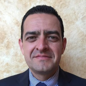
Mr. Jorge has 21 years of experience in the state and municipal public administration carrying out fiscal, budgetary, operational and technical administration and control activities.
He has a Bachelor's degree in Accounting, a Master's Degree in Construction Management, as well as a Diploma in State Public Administration, a Diploma in Municipal Public Administration, seminars on Technical Audit - Financial Applied to Public Works, workshops for the preparation and analysis of Costs of Work, Project Design, Total Quality for Competitive Improvement, Institutional Development, Superior Control, among others.
He has had the opportunity to participate in international urban planning forums organized by UN-Habitat.