
The Indo-Pacific region accounts for more than 65 percent of global GDP and some of the world’s most populous nations. With geopolitical tensions on the rise, the need for safeguarding countries, commerce, and critical assets has never been this grave. This brings geospatial into the focus, promising to be a boon for safety and security.
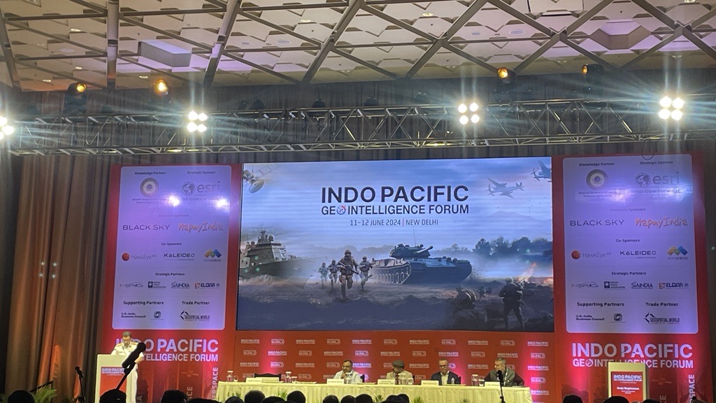
A session to discuss Geospatial Technology: Key to Boost Indo-Pacific Security was held at the first plenary session of the Indo-Pacific GeoIntelligence Forum 2024.
Moderated by Vice Admiral LS Pathania, Chief Hydrographer, Govt of India, the panelists shed light on how geospatial can become the perfect tool for safety in the region.
“The increasing significance of the Indo-Pacific region in world order has resulted in key partnerships on various domains amongst the regional countries. The region offers unique opportunities as well as challenges,” he emphasized.
“Indo-Pacific hosts the world’s busiest trade routes in the world. With oil and manufacturing goods travel, it demands greater security,” he added.
“For centuries, maritime domain awareness and geospatial have been instrumental for safeguarding critical assets. As a Hydrographer, I have first-hand witnessed the transformative potential of geospatial technology in the domain. Geospatial intelligence revolutionises our understanding of sea and land. Sophisticated data and analysis help us produce maps with unprecedented accuracy,” Vice Admiral Pathania said.
Geospatial Strategy
Dr Prateek Sharma, Vice Chancellor, Delhi Technical University talked about how India envisions an open, inclusive, and rules-based order in the Indo-Pacific, grounded in respect for sovereignty and territorial integrity.
He laid out the role of geospatial strategically saying, “The interconnectedness of the indo-Pacific region and the interdependence of the two oceans is a product of growing forces of globalisation, trade and changing equations between different actors.”
He further pointed out that more than half of all global trade passes through the waters of these two oceans, containing key maritime trade routes, such as the Strait of Malacca, through which a significant portion of the world’s trade flows.
“It is the world’s fastest growing, most diverse and data-rich region and has seven of the world’s largest militaries. All of the nine nuclear powers, barring Israel and UK have presence in the region,” he stated.
China’s Foray
Maj Gen (Dr) Ashok Kumar, VSM, CENJOWS said, “In the Indo-Pacific, rather than giving you the details of the shipping percentage, the population, I will bring that area which is going to impact us in a big way and that is the South China Sea.”
As far as geospatial technology is concerned, it is having an impact in the sub-surface, surface, aerial, and in-space domain as well, he noted.
Explaining how Beijing has advanced in terms of its geospatial capability, he added, “China is the only country in the world which has attempted to alleviate borders in the waters. Otherwise, in the waters, we have only three terms that are commonly used. Your territorial waters, exclusive economic tune, and then rest of the water.”
“China has mapped its entire country with 1 is to 10,000 scale. We are aware that the South China Sea has number of neighboring countries that has claim on different islands and China is creating some kind of the artificial islands. But the way China is using geospatial technology in South China Sea is mind boggling.”
Israel’s Outlook
International partners are crucial for Israel’s space program. Reiterating the same, Lt Col Gil Elmalem
R&D Attache, Embassy of Israel said, “Space programs are very expensive for a country as small as ours. So we are working in collaboration with overseas partners and R&D meanwhile pulling resources and sharing knowledge.”
Israel has many types of satellites; communication, optics, remote sensing, and earth observation. Some are military satellites and dual use as well.
“In the last 10-15 years we have been working on NAMI satellites, some of them are completely in the private sector, and some of them are also in the R&D. We even had our own moon lander, which unfortunately failed to land on the moon, but it marked a significant progress in our space program,” added Lt Col Gil.
“We are not like India yet, we still have a way to come in that area, but we are pushing forward,” he emphasised.


