
Gathering, analyzing, and visualizing data related to a specific location is known as location intelligence. Based on the geographic context of the data, enables businesses to get insights and make better-educated decisions.
Agriculture is critical to the production of food and other resources that sustain human life. It includes a wide range of activities, such as crop cultivation, livestock keeping, and forestry.
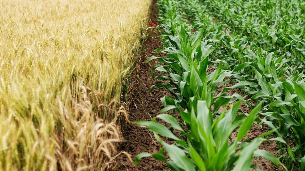
By offering insight and data for more efficient and successful farming operations, location intelligence is redefining the agriculture business.
Early applications of GPS for mapping and precision farming
The Global Positioning System (GPS) is a satellite-based navigation system created in the 1970s by the United States military. GPS technology became accessible for consumer usage in the late 1980s, and the agriculture industry soon adopted it for a variety of uses.
Mapping and field boundary creation were two of the first GPS applications in agriculture. Farmers and other industry professionals utilized GPS to build precise maps of their fields and property lines, allowing them to better manage their land and make more informed decisions about planting, fertilizer, and other duties.
Precision farming, which involves applying inputs such as seeds, fertilizers, and pesticides at precise rates and places to enhance crop yield and save costs, also utilizes GPS. Farmers were able to alter the application rates of these inputs based on the individual needs of their fields by employing GPS-enabled machinery and sensors, resulting in more efficient and productive farming operations.
Satellite imagery and remote sensing advancements
Satellite images and remote sensing technologies have played an important role in the advancement of agricultural location intelligence. Farmers and other industry professionals can use these technologies to get precise and up-to-date information about their fields and crops from a distance, allowing them to make better-informed decisions regarding irrigation, pest control, and other vital chores.

Early satellite photography systems had low resolution and coverage, but as technology developed, satellites became more capable of giving high-resolution photos with near-global coverage. Farmers may now get precise information on their fields regularly, allowing them to monitor crop health and spot any problems early on.
Other remote sensing technologies, such as aerial photography and ground-based sensors, have been developed and employed in agriculture besides satellite imagery. These technologies offer new data and views that can be utilized to supplement satellite images and improve location intelligence capabilities.
IoT and technology integration
The agriculture business has experienced a rapid integration of the Internet of Things (IoT) and other technologies, like drones and sensors, in recent years, enabling even more comprehensive location intelligence capabilities. These technologies provide near-real-time data on a variety of aspects, including soil moisture levels, crop health, and weather patterns, allowing farmers to optimize their operations and adjust to changing conditions.
The use of sensors to monitor soil moisture levels and improve irrigation schedules is one example of IoT use in agriculture. Farmers may make more educated decisions about when and how much to irrigate their crops by collecting data on soil moisture and other parameters, resulting in more efficient resource usage and lower costs.
Drones are another technology that is increasingly being used in agriculture for a range of purposes such as crop monitoring, pest management, and field mapping. Drones outfitted with cameras and other sensors can produce high-resolution photos and data that can be used to diagnose problems and enhance operations.
Machine learning algorithms and artificial intelligence are also being linked to location intelligence systems to deliver even more insights and capabilities. These technologies are capable of analyzing vast volumes of data and identifying patterns and trends that may be utilized to inform decision-making.
Crop monitoring and yield forecasting
Crop monitoring and yield prediction are two important applications of location intelligence in agriculture. Farmers and industry professionals can follow crop growth and development over time and spot potential problems early on by employing satellite imaging, remote sensing technologies, and other data sources. This can help them make better judgments about irrigation, fertilizations, and pest control, resulting in higher agricultural yields and quality.

By Kowloonese – Own work, CC BY 3.0, https://commons.wikimedia.org/w/index.php?curid=13278443
Location intelligence is being utilized to anticipate crop yields on a regional or global scale, in addition to monitoring individual crops. Analysts can construct yield projection models by examining a variety of data sources, such as weather patterns, soil conditions, and market demand. These models can assist farmers and industry experts plan for the future and make better-educated decisions regarding planting, storage, and distribution.
Water management and irrigation
Water is a key resource for agriculture, and efficient irrigation and other water-related chores are critical for crop health and productivity. By gathering data on soil moisture levels, weather patterns, and crop water requirements, location intelligence is being utilized to improve irrigation schedules and reduce water usage.
Sensors, for example, can be used to assess soil moisture levels in real time and relay the information to a central system. This information may be examined and used to develop irrigation schedules adapted to the individual demands of each farm, resulting in the more effective use of water resources.
Location intelligence is being utilized to monitor and control other water-related duties, such as drainage and flood management, in addition to optimizing irrigation. Farmers can identify locations at risk of floods or erosion and take preventative actions to protect their crops by collecting data on soil moisture levels, slopes, and other factors.
Pest and disease management
Outbreaks of pests and diseases can have a severe impact on agricultural production and quality. Location intelligence is being utilized to check for symptoms of pest and disease activity and to avert crop damage.
Satellite photography and other remote sensing technologies, for example, can be used to detect locations where pests or illnesses are present or are expected to occur. This information can be used to generate maps and warnings that can be used to guide pest management efforts in the most vulnerable regions.
Location intelligence is being used to track the success of pest management strategies in addition to monitoring for pests and diseases. Farmers can determine the most successful pest management measures and change their strategy as needed by collecting data on insect populations and the usage of pesticides and other control methods.
Supply chain management
Location intelligence is also being used to improve the agricultural supply chain from farm to consumer. Industry professionals can detect bottlenecks and inefficiencies and take steps to enhance the flow of goods and minimize costs by examining data on production, logistics, and demand.

https://commons.wikimedia.org/wiki/File:4X-UHJ_Agridrones_d.jpg
For example, it can be used to improve the routing of trucks and other transportation vehicles, decreasing fuel consumption and emissions while guaranteeing items are delivered on time and at a reasonable cost. It can also be used to detect consolidation and other efficiency initiatives such as co-loading and cross-docking.
It is being utilized to increase the traceability and transparency of the agricultural supply chain in addition to logistical optimization. Industry experts may develop more transparent and accountable supply chains that suit the expectations of consumers and regulatory requirements by collecting data on the origin, movement, and handling of items.
The Future of Agriculture Location Intelligence
The application of location intelligence in agriculture is projected to develop and evolve in the next years. Location intelligence systems are projected to grow more sophisticated and capable of giving greater insights and capabilities as technology progresses and data becomes more readily available.
In addition to the existing technologies, new technologies and applications, such as the utilization of virtual and augmented reality for training and visualization, and the integration of blockchain for traceability and transparency, are likely to emerge.
As location intelligence becomes more commonly used (in agriculture), it is likely to become more integrated into other systems and processes in the agricultural economy. Location intelligence data, for example, could be utilized to inform decision-making in fields such as banking, insurance, and policy.
While it has enormous potential benefits in agriculture, there are also problems and ethical concerns that must be addressed. The requirement for comprehensive data privacy and security measures to secure sensitive information and prevent misuse is one potential obstacle. There are also worries that location intelligence may generate disparities and disadvantages for some farmers and communities, particularly those who lack access to essential equipment or data. It will be critical to address these issues and guarantee that location intelligence is used in a fair, transparent, and ethical manner.
Summary
Location intelligence is a rapidly expanding field that is transforming agriculture by giving insight and data for more efficient and successful farming operations. It enables farmers and other industry professionals to optimize their operations and make data-driven decisions to increase production and profitability. Crop monitoring and yield prediction, irrigation and water management, pest and disease control, and supply chain optimization are all examples of how location intelligence is being used.
Agriculture’s usage of location intelligence has the potential to have a substantial impact on the industry and society as a whole. It can assist to raise food supply and security, cut expenses, and promote agricultural sustainability by enabling more efficient and effective farming operations. It can also generate new possibilities and jobs in the domains of technology and data, as well as stimulate innovation and growth in agriculture. However, it is critical to address the problems and ethical considerations associated with the use of location information to ensure that it is used in a fair, transparent, and useful manner for all stakeholders.
ALSO READ: Indian Drone Start-up Receives Govt. Agro Drone Subsidy


