From a captivating keynote to value of PNT, BIM and Digital Twins and Metaverse, to Geointelligence in the new, evolving world order, second day GeoBuiz Summit was all about diving deep into how tech is touching lives. Additionally, there were also a number of “Deep Dive” sessions around topics such a smart cities and digital twins, space and earth observation data, GEOINT, use of artificial intelligence and machine learning, and new business models such as X-as-a-service.
Produced by Geospatial World, the summit was held on June 2-3, at the Monterey Conference Center in Monterey, California.
The second day opened with another captivating keynote by Samira Khan, Director, Microsoft. Khan moved away from pure-play technology and instead chose to focus on how technology is touching our lives. “How do we overcome all the challenges we are facing today? It really lies in having transparent, accessible, verifiable, credible data on which we can take action both in terms of strategic decision making, as well as resource allocation. And what geospatial technology and innovation allows us to do is to leapfrog some of the barriers that have previously existed.”
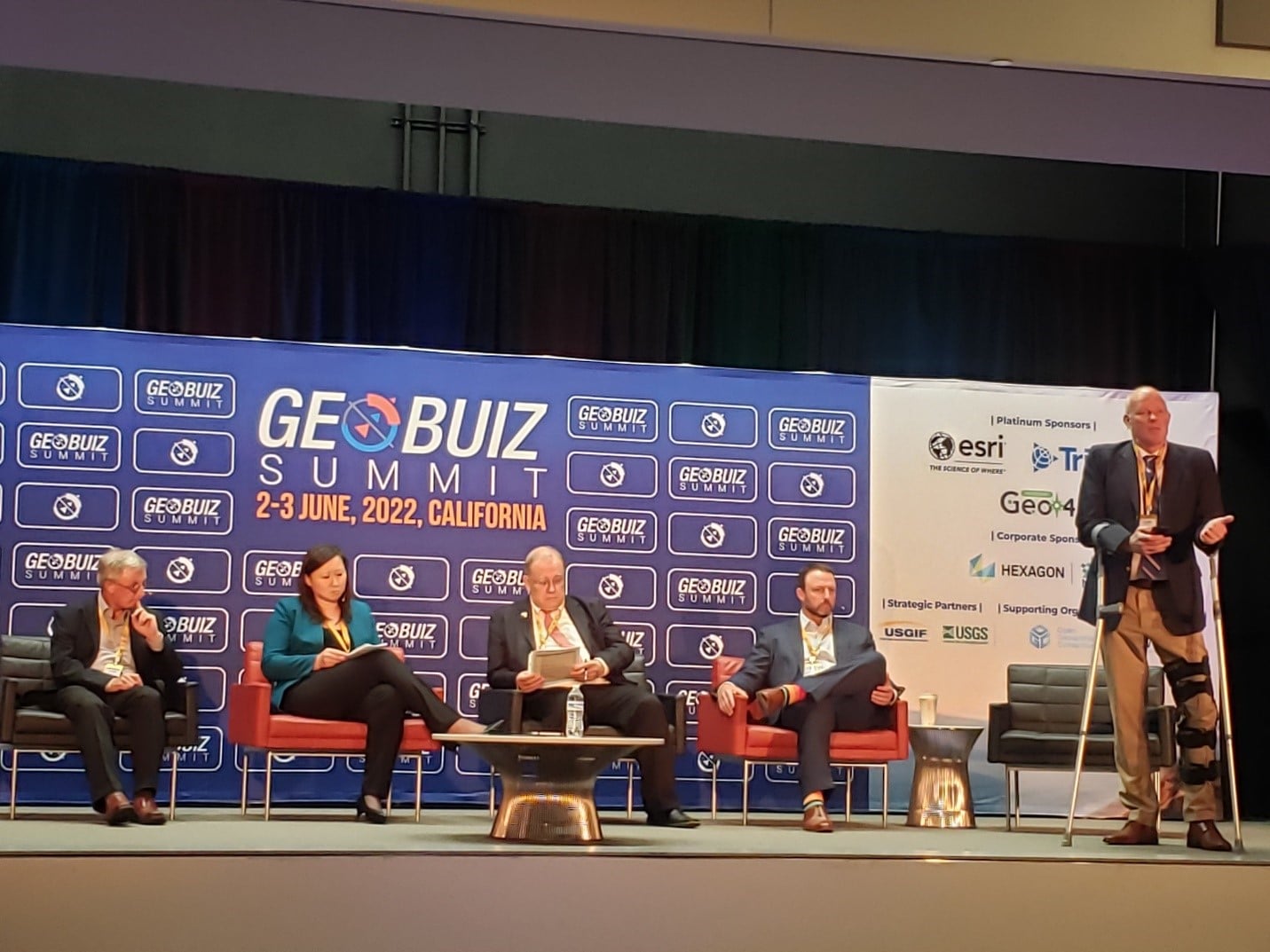
The following plenary on BIM, Digital Twin and Sustainable Infrastructure, witnessed an engaging discussion on some of the most trending topics of the current times – vulnerability of the GPS, robust PNT (Positioning, Navigation and Timing), Digital Twins and Metaverse.
Harold W. Martin, Director, National Coordination Office, Space-Based Positioning, Navigation and Timing, pointed out that there are about 900 million GPS-enabled receivers in the US. “That’s about 3 receivers for every person. About 7 billion globally, which happens to be about the same number of people on the planet. And rather than reaching a saturation point, I think we’re on the cusp of an explosion of GPS receivers,” he said, while listing out some of the drivers – “delivery drones, sensors in our homes, connected and automated vehicles, intelligent transportation systems with smart traffic lights, bridges that have sensors, buildings that have sensors, the Internet of Things, objects and appliances talking to each other.”
He also drew attention on the current crucial problem of GPS jamming and spoofing by Russia. “Russia today is in a war with Ukraine and is actively jamming GPS in that area. There have been multiple reports about spoofing in the Black Sea. These are no longer theoretical threats. They are real. It’s time to toughen your GPS-enabled systems by asking your manufacturers for receivers that comply with the latest interface specs,” he said.
The panel also discussed as the opportunities the trillion-dollar US infrastructure bill open up for the geospatial industry, as the government seeks to make a generational investment in the nation’s transportation network. Local infrastructure decision makers are faced with managing the demands of evidence-based decision-making and the development and interpretation of new data sources along with traditional statistics in order to make decisions in a timely and smart manner. For the transportation industry to harness the rapid growth and advancements in geospatial data and analytics, the voice and experience of frontline local infrastructure and planning decision makers is needed.
Talking about Digital Twin application in infrastructure, Bryn Fosburgh, Senior Vice President, Trimble laid down the four critical issues facing its adoption: Interoperability, Data accuracy and precision, Data Security, Data/Digital Twin ownership. “How do we have interoperability across stakeholders in the digital twin? We haven’t grouped together all the stakeholders. Who owns the twin?”