
US: Bentley Systems, a leading global provider of comprehensive software solutions for advancing infrastructure, has announced the acquisition of Plaxis, the leading provider of geotechnical software, based in Delft, Netherlands,
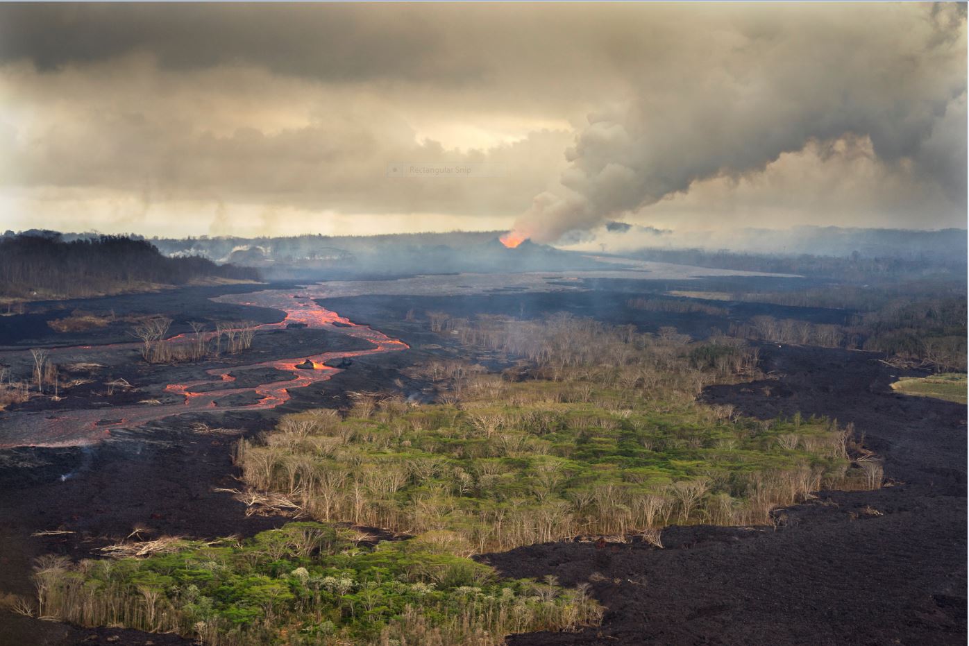
US: Quantum Spatial has announced it has conducted high-resolution LiDAR surveys of areas surrounding the Kilauea volcano eruption on the Island of Hawaii. This emergency response effort was part of