

Associate Editor | Policy & Public Affairs
India today faces a host of challenges on social, economic, environment and health fronts. Some of the reasons that make these challenges complex include:
To overcome these challenges, it’s critical to explore and understand the interconnections and interdependences between economic, social and environmental ecosystems spatially and temporally. It is for this reason that February 15, the day the Government of India announced fresh guidelines to liberalize rules for acquiring and producing geospatial data and geospatial data services (including maps), was a landmark day.
Not only do these guidelines render some of the regressive provisions pertaining to collection and use of geospatial data obsolete, they also mark a significant shift in the government’s approach to data acquisition, processing and sharing. Prior to the announcement, geospatial data and maps were regulated by various policies and notifications by the Survey of India, Ministry of Finance, Ministry of Defence, among others. “What is readily available globally does not need to be restricted in India, and therefore geospatial data that used to be restricted will now be freely available in India,” announced the Ministry of Science & Technology in a statement.
This means that Indian innovators and companies will no longer have to face hurdles to “collect, generate, prepare, disseminate, store, publish and update digital geospatial data and maps within the territory of India”.
“The new geospatial guidelines will remove barriers and will allow easy access to data and data sharing between government and private organizations. This will enable access to location analytics for GIS-enabled decision-making,” says Agendra Kumar, President, Esri India. The new guidelines will apply to geospatial data, maps, products, solutions and services offered by government agencies, autonomous bodies, academic and research institutions, private organizations, non-governmental organizations and individuals.
The government has decided to do away with prior licenses and security clearances for collection, generation, preparation, dissemination, storage, publication, updating and/or digitization of geospatial data and maps within the territory of India. Individuals, companies and organizations will now be free to process the acquired geospatial data, build applications and develop solutions, and use such data products by way of selling, distributing, sharing, swapping, disseminating and publishing.
In an attempt to strengthen trust between the government and industry, a system of self-certification will be used to convey adherence to the guidelines. However, there will be a negative list of sensitive attributes that will require regulation before anyone can acquire and/or use such attribute data. The government has emphasized that it will try and minimize restrictions and will regularly update the negative list. “These reforms were long overdue and we are glad that the government has finally taken this positive decision. We believe this will truly develop the spatial industry and be a big boost especially to the governmental, infrastructure and mobility sectors,” says Bobbie H Kalra, Founder & CEO, Magnasoft.

High resolution digital maps will enable better infrastructure planning and management, and help make the existing and future infrastructure more resilient.

Maps with higher accuracy will give a push to smart farming, with lower costs and higher food production.

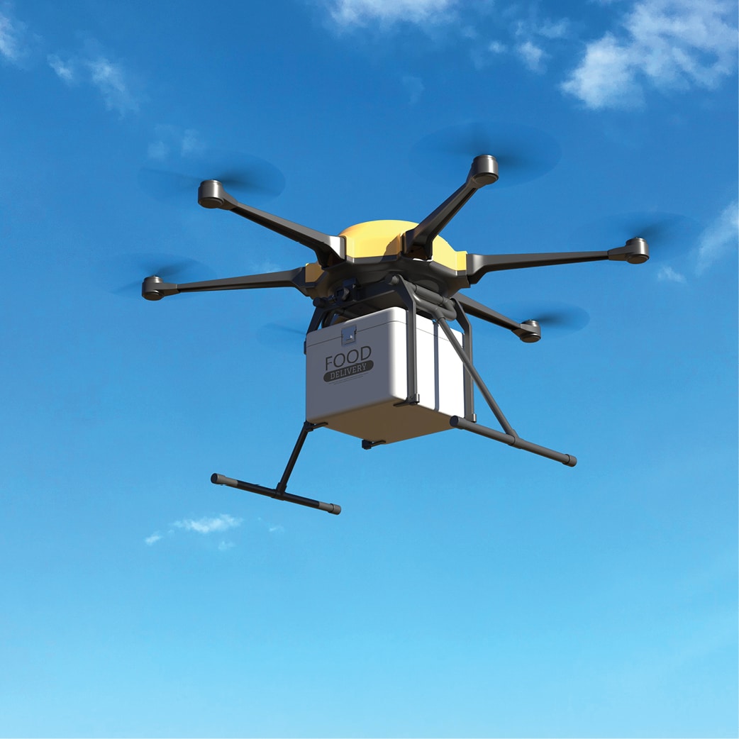
High precision maps will pave the way for drones deliveries, saving time and cost for companies and consumers.

Digital maps will gradually replace old physical records, leading to more investments, less disputes and streamlined property rates.

Road, rail and water transport expansion will become easier, and streamlining of routes and services will ensure passenger convenience and safety.

Remote evaluation of risks will become simpler, leading to realistic premiums and speedy settlements.

Accurate mapping will ensure that mine surveys can take place sans human intervention, and will be extremely helpful in case of disasters.

Identifying health trends, tracking infectious diseases and building infrastructure to deal with health-related eventualities will become easier.
Almost every national initiative and agenda linked to India’s development requires significant use of spatial data and analysis to enhance productivity, efficiency, transparency and monitoring. So, the new guidelines will go a long way in not only transforming the economy, but will also ensure self-reliance and sustainability.
Economy
Locally available maps and geospatial data will help in better resource management and planning, which will help in serving the specific needs of various sectors of the industry and the general public. For instance, the issue of improper land management, which leads to losses running into hundreds of crores, can be effectively addressed with the help of mapping. Further, sectors like agriculture, healthcare, finance and revenue, logistics, transportation, technology, and commerce, which form 70% of India’s GDP, will be positively impacted. Since individuals, companies, organisations and government agencies will be free to process the acquired geospatial data, building applications and developing solutions will become a lot easier.
“Enhanced geospatial readiness is fundamental for the realization of a ‘Digital India’, as high-quality spatial solutions and services are required for the creation of smart cities, highways, interlinking of water infrastructure, defence and Space modernization initiatives, etc. The new guidelines will lead to an accelerated pace of innovation and digital transformation in the country across a variety of industries,” says Abhijit Sengupta, Director and Head of Business, India, SAARC Region & Southeast Asia at HERE Technologies.
Experts feel that this will unlock new opportunities also in sectors like mining, water, urban utilities and public safety, as they rely heavily on geospatial infrastructure.
Liberalizing geospatial data rules will also boost India’s blue economy, which primarily includes fisheries, deep sea mining and offshore oil and gas. The country will soon launch an ambitious Deep Ocean Mission that envisages exploration of minerals, energy and marine diversity of the underwater world, a large part of which remains unexplored till date. Bathymetric geospatial data will be crucial for attainment of a flourishing and vibrant Blue Economy. “In the context of 4IR, geospatial data is more relevant than ever to all industries. We anticipate greater geospatial innovation and application, paving the way for a new growth trajectory for the geospatial economy,” says BVR Mohan Reddy, Founder & Executive Chairman, Cyient.
Geospatial industry
India, which is the world’s fifth largest economy by nominal GDP and third largest by purchasing power parity, offers tremendous growth potential for the geospatial industry. According to a report in an Indian daily, a geospatial industry estimate quoted by officers of the Department of Science and Technology suggests that businesses in the sector are currently valued at INR 30,000 crore ($300 billion) and can touch INR 1 lakh crore ($1 trillion) by 2029. If these figures are anything to go by, the new guidelines will go a long way in strengthening the country’s geospatial industry in this decade.
The Industry currently provides employment to nearly 275,000 people, a number that is expected to spike owing to the market expansion in the coming years. More employment opportunities will mean more requirement for educated and trained professionals, which will further mean academic institutions introducing fresh courses and new skill development institutes coming up. “These guidelines are revolutionary and will empower Indian companies to provide the best quality geospatial data, solutions and services,” says Abhay Kimmatkar, Managing Director, Ceinsys Tech Ltd.
The availability of data and modern mapping technologies to Indian companies is crucial for achieving India’s policy objective of self-reliance (Atmanirbhar Bharat) and the vision for a $5 trillion economy. The Indian companies will no longer have to rely on foreign resources for mapping technologies and services and will emerge as strong competitors in the global mapping ecosystem by leveraging modern geospatial technologies. Further, the guidelines will encourage data sharing between government and private organizations, ensuring that there is a sense of co-ownership towards the country’s development.
“A liberalized geospatial policy will provide a level playing field to private entities, which will have ready access to geospatial data that can be used for scientific and developmental research to build scalable solutions. Creation of high-quality maps will help several sectors that were suffering due to non-availability of accurate geospatial data, enabling better disaster management, food security and public sector services,” says Rajiv Kapoor, Chairman & Managing Director, RMSI.
The ‘Geospatial Way’ is the future and probably the most efficient and effective way of collecting, processing and utilizing information to deliver on the Global Development Agenda. It is well known that integrated geospatial infrastructure and knowledge platforms have direct correlation with human development and quality of life. For a country as diverse as India, liberalized geospatial rules will start a new chapter of socioeconomic growth, self-reliance and sustainable development.
© Geospatial Media and Communications. All Rights Reserved.