Home 2023 May 4

Daily Archives: 05/04/2023

Data Fusion, New Revenue Streams Crucial for Space Startups

Data Fusion, New Revenue Streams Crucial for Space Startups

New-age space startups are popping out of thin air, as it seems. But the valour to take upon the long dragged challenges and to overcome them without a proper business model is something that the space sector has needed for a long time. Now that the commercialization of Space is greater than ever, these startups look to cash on the opportunity and take the risk of being the first movers.

A panel to discuss the same was held with the theme New Space & Commercialization in EO. Moderated by Gunter Schreier, Deputy Director, German Remote Sensing Data Center, DLR, the panel consisted of various startups from the European and South-Asian regions. European Space Agency was also present to give a different perspective of being an incubator and active investor.

Gunter expressed his elation while kick-starting the session and said, “Now for a couple of years, we are seeing various start-ups, some of them born out of big companies and some of them coming out of universities. This session is about showing their perspective.”

Shortly after, Lena Halounova, President ISPRS took the stage to give the audience an insight into the ISPRS.

“We are a society which was founded in 1910 in Austria, focused mainly on academia. But since the implementation of remote sensing in 1980, it was spread among other organizations, companies, and space agencies, and academia itself could not have survived without cooperation or practice,” she said.

Opportunities and Challenges Ahead

Gianluigi Baldesi, Senior Commercialisation Officer, European Space Agency, France, while talking about the opportunities for ESA said, “Of course, the launch prices are going down, which is positive for us, whereas the availability of launch pads to fly is increasing. Space capacity and performance are also increasing a lot. There is an increase in awareness of the potential of spatial data and applications.”

However, he spoke about the challenges on the other hand and said, “Reaching out and finding potential investors for the CAPEX is a difficult task as of now. The other challenge revolves around business expertise to move from an engineering-driven company to a business-driven company.”

“We are launching Thermal Infrared with 3.5-metre resolution. There’s no commercial company that is currently providing data at this level of resolution,” Alex Gow, Sales Director, SatelliteVu, UK claimed.

“When it comes to sustainability, we are providing operational services to companies that are managing large solar farms. The value we are providing here is to identify faults in large solar farms. This helps better guide maintenance crews that are sent to fix these issues,” he added.

Data Fusion & Sustainability

Talking about the SAR satellite StriX, Motoyuki Arai, CEO, Synspective, Japan, explained, “This satellite enables the world to acquire reliable, significant, and broad data. From this, we analyse the data for end users and provide many solutions. For example, we provide land displacement monitoring, flood damage assessment, and forest inventory management with the data we collect.”

“Currently, we have three satellites. But by 2027-28, we will have the 30 satellite constellation, and then we will provide near-real-time dataset covering the earth,” he emphasized.

Explaining a new concept Suyash Singh, Co-Founder & CEO, GalaxEye elaborated, “Since Visual Imagery Satellite provides high-resolution images but gets hindered by an object in view, such as clouds. Whereas Radar Imagery Satellite can penetrate through clouds but provides low-res imagery. This provided an opportunity to combine the best of both the satellites, which is where we come in.”

“We are combining a multispectral and a radar sensor on the same satellite, making it work in synchronization and tandem. This is another effort to bring in another dimension of the satellite imagery, notwithstanding with only one sensor but giving you a data fusion layer to work with more satellites,” said Singh.

Sorting Imagery

Christian Beilschmidt, Co-Founder, Geo Engine GmbH, Germany, talked about his company’s platform in detail and how it is used for mitigating various mapping and imagery issues.

“The Geo Engine is a platform for geoprocessing and analysis. We really love to use all the data that is available and connectible. We provide native time series processing, which makes the workflows reusable and makes it easier to work with. We have started to integrate ML frameworks into the Geo engine while also using ML ingestion inside,” he said.

After the presentations were over, the panel sat together to answer various questions from both the moderator and the audience.

Beyond the Threshold?

Gunter asked about the views on new startups in the space sector and whether it will reach a saturation point, emphasizing the increasing quantity of space startups day by day.

To this, Gianluigi responded, “I think there are many opportunities and some overlap, but this overlap translates into competition. It is very interesting and important to stimulate this competition. Of course, from a certain point of view, it is very challenging. But as we go on the other side, it is very interesting for the market as well. There are also a lot of priority investors who enhance the entire process and act as incubators.”

Gunter then asked Arai if there was more room for startups and systems in space.

Arai answered, “I believe there is more room, but I think there is too much space. Certain concentration is required to survive in this sector, but it is very difficult to stay. Because we only have enough human resources. So we have to renew our approach so many times and be agile. This is where many startups struggle.”

Geospatial Visualization Identifies & Mitigates Land Challenges

Geospatial Visualization Identifies & Mitigates Land Challenges

At the Geospatial World Forum 2023, in the session on ‘Land And Property: Emerging Technology Enabling Land Economy’ discussions took place on monitoring carbon emissions using multi-source geographical data and providing a platform to solve these problems related to land usage.

The panel on ‘Geographical Monitoring system for CO2 emissions and Land Use Changes’, moderated by Dr. Simon Musaeus, VP, Geospatial Content Solutions, Hexagon, President, EAASI. He began the session by introducing other panel members.

Simon Kay, Dep Head of Unit | European Commission, DG Climate Action, presented the climate law of the EU, the objective of the EU is to achieve climate neutrality by 2050.

He shared the revised Land Use, Land Use Change, and Forestry (LULUCF) Regulation, ambitious target for net carbon removals in soil, forests and wood products: 310 Mtonnes by 2030.

Enhanced LULUCF Monitoring System

  • High carbon stocks
  • Protection sites
  • Restoration sites
  • High climate risk zones
  • Soil Carbon stocks

“Land is really a part of the equation of the climate neutrality in Europe”, he added.

Rachel Tidmarsh, Managing Director at Bluesky talked about the National Tree Map (NTM), a product of Bluesky. National Tree Map, a detailed dataset of its kind with the coverage of England, Wales, Scotland, and the Republic of Ireland. It is a database of location, height, and canopy/crown extent for trees 3m and above in height. It has enabled and assisted conversations about current & future tree cover. It allows to visualize the urban environment including the urban forest & make data-driven decisions that will inform future policies & budgets.

She also shared an NTM case study from Waterford City & County Council of Ireland. The objective of the study was to make the entire city decarbonized zone under Ireland’s Climate Action Plan, which will make Waterford a carbon-neutral city by 2030.

Nicola De Quattro, Head of Innovation and Technology Governance, Telespazio Belgium talked about the goals of Telespazio, to integrate satellite data into existing ecosystems and to support companies to decarbonize their supply chain.

Emerging Trends in Land Economy

The next panel on ‘Technology adoption and emerging trends in Land Economy’ was moderated by Caroline Robinson, Journalist, Maplines, British Cartographic Society.

The land is a critical asset for economic growth, social development, and reducing poverty. The terms on which land is held, used, and transferred have important consequences for economic growth.

Jones Ofori-Boadu, Deputy Executive Secretary – Corporate Services, Land Commissions shared the goals of Ghana to address critical challenges in the land sector to optimize the contribution of land to the socio-economic development of Ghana.

Satellite images are valuable data but it is hard to access, process, analyze and display. Antoine Lefebvre, CEO of KERMAP showcased a SaaS platform, nimbo, based on satellite imagery to show how the Earth changes.

He also shared the use cases of nimbo in Wildfire monitoring; identified burned areas in three countries during the summer 2022 (USA, Spain, Greece). It continuously monitors the damage caused by wildfires at the scale of a country or a continent.

Digital Twin for Integrated Urban Development

Digital Twin for Integrated Urban Development

Digital twin is a virtual representation of real-world entities and processes, synchronized at a specified frequency and fidelity. Digital twin systems transform business by accelerating holistic understanding, optimal decision-making, and effective action.

Today, it is fast emerging as a powerful tool for city planning, enabling policymakers to simulate and visualize urban environments, test different scenarios, and make informed decisions.

At the 3rd Day of GWF 2023, CLAUDIUS LIEVEN, Head of Stadtwerkstatt, Hamburg Department of Urban Development and Housing started the session on Digital Cities with talks about the Connected Urban Twins, where they are developing Urban Digital Twins for use in integrated urban development in the cities of Hamburg, Leipzig and Munich.

Urban Digital Twins produce digital representations of our cities that can be used to play out ‘What-if’ scenarios for cities that are sustainable and improve the quality of life.

Urban Digital Twins

Concept of Urban Digital Twins is more like a modular system whose building blocks can be freshly combined to deal with each new issue. The concept Urban Digital Twins comprises all of the digital resources of a municipality: the diverse sets of data about the city, its physical components and logical structures, as well as its stakeholders and their processes. Technical, organizational and legal aspects all play a role in this respect.​

He talked about CoSI – COCKPIT URBAN INFRASTRUCTURES, which is a Socio-Data WEB-GIS which is an Open-Source software developed by Hamburg and is used by more than 1,000 of the Cities employees. It can process, correlate, extrapolate, and simulate data on population and public infrastructures. CoSI uses the Master Portal and the Urban Data Platform as basic resources. It also features the PDS API to DIPAS.

CARSTEN RONSDORF, Strategic Propositions Manager, Ordnance Survey talked about the OGC Urban Digital Twin Group which has considerable interest from consortium members. He emphasized on combining 2D/3D terrain data, IoT, predictive data models and visualizations being the key to understanding future impact.

Analysing Data

Digital twins use real-time and historical data to represent the past and present and simulate predicted futures and digital twins are motivated by outcomes, tailored to use cases, powered by integration, built on data, guided by domain knowledge, and implemented in IT systems.

He finally finished the session talking about how the UK national digital twin program is based on the Gemini principle, which talks about starting a digital twin with purpose, secondly data must be trustworthy and thirdly, it must function effectively.

The best practices for implementing digital twins in city planning include developing a clear strategy, building partnerships with key stakeholders, using open data standards, and focusing on user engagement and collaboration. By adopting these best practices, city planners can create a digital twin that is useful, accessible, and relevant to all stakeholders involved in urban development.

Geospatial & BIM Convergence for Digital Built Environment

Geospatial & BIM Convergence for Digital Built Environment

Day 3 of the GEOBIM panel started with Ananya Narain, VP- Commercial Consulting, and Geospatial World, India talking about how cities in a built environment are a key engine for economic drivers. She talked about how by 2050 there will be rapid urbanization with 70% of the population of the world living in cities. She pointed out how 75% cities generate carbon emissions and 75% of raw materials are consumed in cities with 39% of the energy consumptions being in the AEC (Architectural Design, Engineering Design and Construction Services).This has all necessitated an urgent need to move towards digitalization.

Interoperability of BIM & GIS

The plenary session was moderated by Pieter Van Teeffelen, Director of digiGO who talked about how Geospatial and BIM should not be treated as different entities but as one, converging into GEOBIM.

The Key benefits in bringing these two technology are many. That includes faster plan approval and permits, improved coordination and collaboration, reduced construction cost and reduced material cost. GeoBIM is fundamental to Digital Twin.

The merging of geospatial and BIM technologies has brought a transformation in our approach towards the planning, building, and maintenance of structures.

When geospatial data is combined with BIM, it can lead to the creation of precise and intricate digital models of constructions and their surrounding areas.

Marek Suchocki, Head of Industry Associations Strategy, Autodesk, UK talked about how BIM supplies detailed information about built assets and GIS Provides information about assets in the context of the built and natural environments. He quotes on how, “GIS informs BIM and BIM fuels GIS.”

He touched upon the industry challenges and talked about project complexity and how projects are poorly delivered because data is not managed effectively.

There is an increasing demand for BIM and GIS interoperability and we are not leveraging readily available potential. With this convergence to GEOBIM, 13 days of an average project cost can be saved, with 90 days of construction time saved.

Predictive Digital Twin

The Moerdijk bridges in the Netherlands are bridges that connect the Island of Dordrecht with the Dutch province of North Brabant (Noord-Brabant) across the Hollands Diep. Roeland Allewijn, Chief Data Officer, Ministry of Water and Infrastructure (Rijkswaterstaat), Netherlands talked about predictive Digital twin for renovation and replacement of steel bridges, in the Moerdijk bridges. He talked about the need for replacement and renovation necessary for the 178 steel bridges in the in the upcoming decades. Timing of the replacement is important.

He talked of the four main system layers with the first layer being the asset layer where sensor techniques are used.

The subsequent layer is the data layer where there is access to metadata and BIM and here the important challenge is to store data.

Third is the Processing layer followed by the Visualization layer where Geospatial data in 3D layer is used.

The amalgamation of geospatial and BIM data can enhance collaboration among stakeholders and help them make better-informed judgments, leading to a more sustainable and efficient built environment.

Conducive Public Policies Enable Space Sector Growth

Conducive Public Policies Enable Space Sector Growth

The space sector has been a key catalyst in promoting economy, diplomacy, power, and pride for many countries around the world. Its role as a major contributor to GDPs is now being recognized by many smaller countries, which are adopting policies and pacts and launching roadmaps in hopes to become a new space powerhouse.

The third day of the Geospatial World Forum 2023 witnessed a session on Space Economy & Public Policy: Supporting Space Economic Growth. The panelists talked in detail about their journey into the space foray.

The panel was moderated by Luigi Scatteia, Partner – Space Practice Leader, PwC Advisory, France.

Azlikamil Napiah, Director General, Malaysian Space Agency (MYSA), Malaysia went over the challenges faced by his country and the different factors that hindered the development of space capabilities. He then talked about the importance of geospatial technologies and the role they played in helping various upstream as well as downstream companies.

“Being a tropical country, we really need information to drive the solution in our limitation in this country including the disasters. The usage of remote sensing system that we integrated with geospatial database of our country is really helping us in providing a solution to many issue that we are facing daily in our country,” he described.

Kandasri Limpakom, Deputy Executive Director, GISTDA said, In Thailand, we are trying to create and drive our economic goals by upgrading geospatial technology. As part of the Geoinformatics committee in Thailand, we are drafting a master plan to provide direction for our country for the development of geospatial technologies and capabilities.”

While talking about the current projects of ESA and its member states, Nicolaus Hanowski, Head, Mission Management & Ground Segments Department, Directorate of Earth Observation Programmes, European Space Agency said, “We are focusing on building EO Satellites, as well as, managing missions that are operating in a way that they are in any point of time optimised towards data production, quality, and content.”

Nicolaus further explained ESA’s budget allocation and reiterated the need and importance of the Earth Observation System.

“ESA has an annual budget of 7 billion euros out of which 25 per cent goes into Earth Observation. So EO is the largest field of activity for ESA. We are also promoting cooperation amongst European states in space research, technology and applications,” he said.

“When it comes to the actual support of the applications, the main driver for our developments are of course the interest of our member state and there is a clear preference and priority on climate action and the European green deal. ESA is strongly focused on the science aspect of the EO wherein forecasting agriculture, resource management, and pollution are one of the few examples that we try to cover,” Nicolaus added.

He even claimed that in contrast to NASA, ESA has a stronger emphasis on the commercialization of space capabilities and the transformation of data into relevant information when it comes to innovation, jobs, and growth.

Meanwhile, Ordnance Survey is also working on enhancing its EO capabilities for mitigating climate change.

“What we are currently exploring is actually how we can utilize EO capabilities to help us improve what we are currently doing and grow newer capabilities. We currently update our database completely every 3 years and we think we can improve the overall capabilities from space, said Donna Lyndsay, Strategic Market Lead – Environment and Sustainability, Ordnance Survey, UK.

“And of course, through that we can do time series analysis and change intelligence products but we are also exploring things like multispectral capabilities at the same time to make sure we get can that depth of attribution of the data which is important for some climate change challenges that are come forward in terms of landscape, habitat, and vegetation change,” she added.

Glenn Cockerton, Managing Director, Spatial Vision, Australia notified the Australian Space + Spatial Roadmap 2030, where he explained that the roadmap has been delivered to the Australian Space Agency as an input to the national blueprint which is the overall document that will drive Australia’s space and spatial industry going forward.

He talked about the 9 key objectives that the Australian Space Agency is set out to achieve by 2030. It included “developing a robust ecosystem of space and spatial companies.”

“Australia is looking to participate with NASA for a mission to mars and has already committed to that involvement while also building industry capabilities,” Glenn said.

He said that Australia is suffering from skewed workforce shortages and a great deal of effort needs to go into building those capabilities.

“There is also very strong recognition on the importance of spatial Digital Twins and the role that space and geospatial plays in delivering value from those sorts of capabilities,” he added.

Dhruva Space deploys satellite orbital deployers and orbital link

0
Dhruva Space deploys satellite orbital deployers and orbital link

Dhruva Space deploys satellite orbital deployers and orbital link

Dhruva Space announced the successful test and Space-qualification of its 3U and 6U Satellite Orbital Deployers and Orbital Link onboard Indian Space Research Organisation’s PSLV-C55 mission. The launch took place at 14:20 IST on 22 April 2023, from the First Launch Pad at Satish Dhawan Space Centre (SDSC) in Sriharikota, Andhra Pradesh.

For the PSLV C55 mission, Dhruva Space utilized the PSLV Orbital Experimental Module (POEM) which allows in-orbit scientific experiments using the spent PS4 stage as an orbital platform.

Given interfacing of the Spacecraft with the Launch Vehicle is a critical component to the deployment of satellites, Dhruva Space has indigenously developed satellite deployment systems that are compatible with the PSLV Launch Vehicle. On 30 June 2022, Dhruva Space’s 1U Satellite Orbital Deployer (DSOD-1U) was successfully Space-qualified onboard ISRO’s PSLV-C53. For PSLV-C55, the company’s 3U Satellite Orbital Deployer (DSOD-3U) saw successful deployment status shortly after launch. The 6U Satellite Orbital Deployer (DSOD-6U), designed for the storage and delayed deployment of CubeSats into Low Earth Orbit and higher orbits, rounded off a mission success with confirmation of long–duration/planned delayed deployment.

The Dhruva Space Orbital Link (DSOL) has been designed and was successfully tested and Space-qualified to support satellite-based data relay applications. Specifically, the configurable transceiver was made for Telemetry, Telecommand and Control, and payload data download with high data rates in S&X band with multiple modulations. Successful reception was confirmed from ISTRAC Port Blair Ground Station. The DSOL would be integral in Dhruva Space’s future missions with their indigenously-developed larger nano (P-30) and micro (P-90) satellite platforms.

Speaking on the successful missions, Sanjay Nekkanti, Chief Executive Officer, Dhruva Space, comments, “The PSLV-C55 launch is a very proud moment for Dhruva Space. Completing three Space missions in less than a year – one of which saw the launch and successful deployment of India’s first private satellites, authorized by IN-SPACe –, we are happy to achieve this special milestone. The global market can expect more great things to come as we continue to fly our own or fly our customers’ payloads on every PSLV mission moving forward.”

Geospatial Data for Land Administration

Geospatial Data for Land Administration

The Day 3 of the Geospatial World Forum 2023 started with multiple sessions running parallel. The first session on ‘Land And Property: Emerging Technology Enabling Land Economy’ witnessed a healthy discussion on land governance that helps to formalize individual land ownership through a simplified, economic, speedy land regularization process.

The session began with a presentation by Disha Dwivedi, Industry Manager – National Mapping and Sustainability, Geospatial World. She explained that the land is at the heart of the economy.

She shared two case studies; one on Ethiopia Land Administration Program (ELAP). The objective of this program was to strengthen Ethiopia’s land administration system, promote tenure security, increase public awareness of land rights, and strengthen the capacity of federal and regional land administration agencies. The other case study was from the Digital India Land Records Modernization Program (DILRMP).

Bernard Liew Chau Min, Director, Sabah Lands And Surveys Department started the next plenary titled “Fit-for-purpose geospatial knowledge for land administration” started with his presentation. He showed the land administration in Sabah, a Malaysian state with a 7,410,300-ha land area. The economic growth of Sabah is 4-5%. “For the next five years, it is predicted that the main sector of economic growth, in Sabah, will be agriculture and tourism”, he said.

Good Land Governance is essential for achieving sustainability goals. To achieve these goals, the work should be done on:

  • Poverty Reduction
  • Equitable distribution of Land
  • Environmental Protection
  • Economic Growth

He also said that geospatial data is essential for good land governance. We need to secure land rights for industrial growth, to support economic growth, agriculture, mining, and the conservation of forests.

Paula Dijkstra, Director of Kadaster International said that we should promote peaceful and inclusive societies for sustainable development, provide access to justice for all and build effective, accountable, and inclusive institutions at all levels.

Brent Jones, Global Manager, Land Records/Cadastre, Esri talked about the necessary conditions of GIS operationalization such as current and accurate data, multiple data sources, configurable, and interoperability. He shared the list of technologies and their enabling role in land administration.

Eng. Naif Saeed Al-Juhany, Executive Director of Geospatial Products, General Authority for Survey and Geospatial Information shared the geographical names database of the Kingdom of Saudi Arabia.

The objectives of the database are:

  • To effectively store and manage geographical names in a centralized database system.
  • To increase data quality and security
  • To work in a multi-user environment
  • To share the geographical database with internal and external users, such as other departments and government organizations, and more.

He said, “Having reliable database management systems helps with the adequate storage and effective management of geospatial data. The authority aims to regulate, develop, supervise, and monitor the survey, geospatial information, and related imagery sectors in the Kingdom.”

In Photos: Geospatial Leadership Awards 2023 Winners

In Photos: Geospatial Leadership Awards 2023 Winners

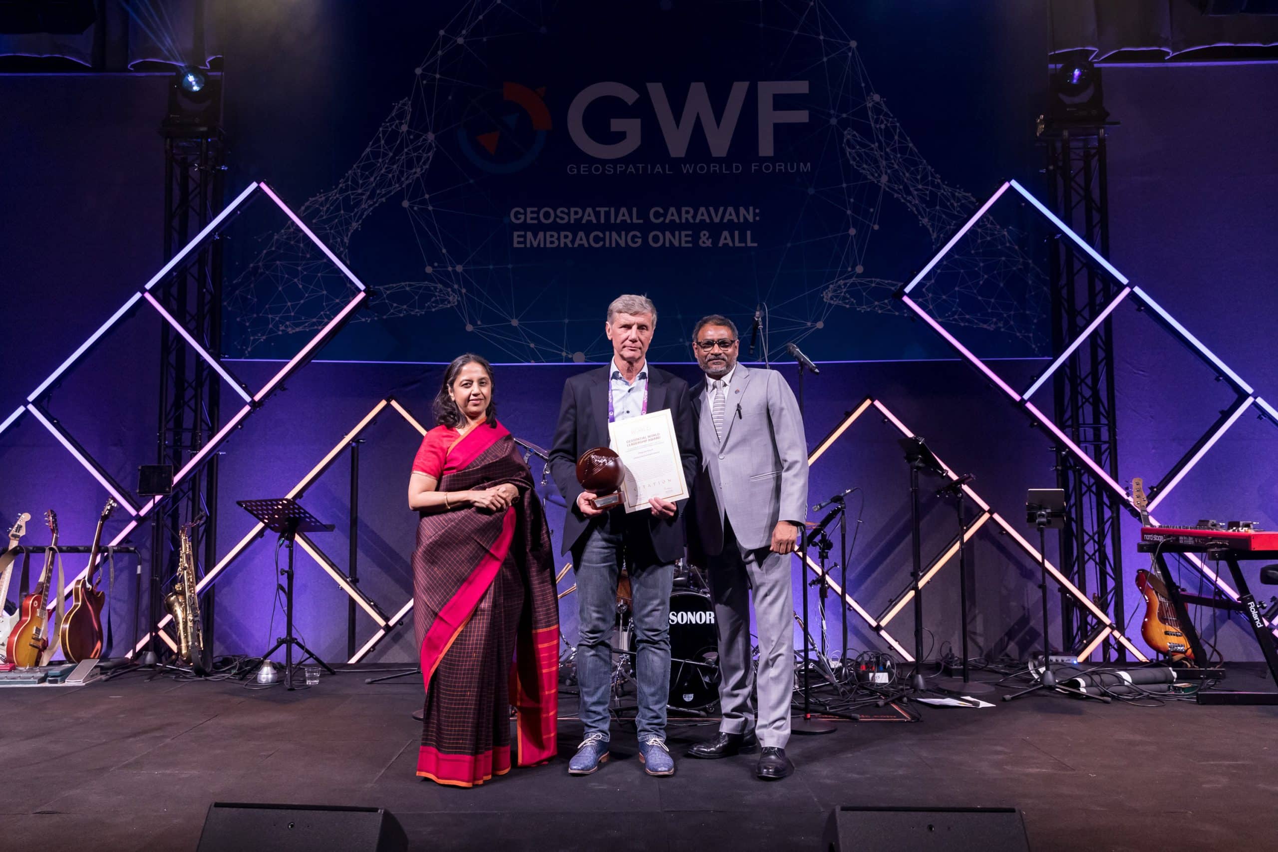
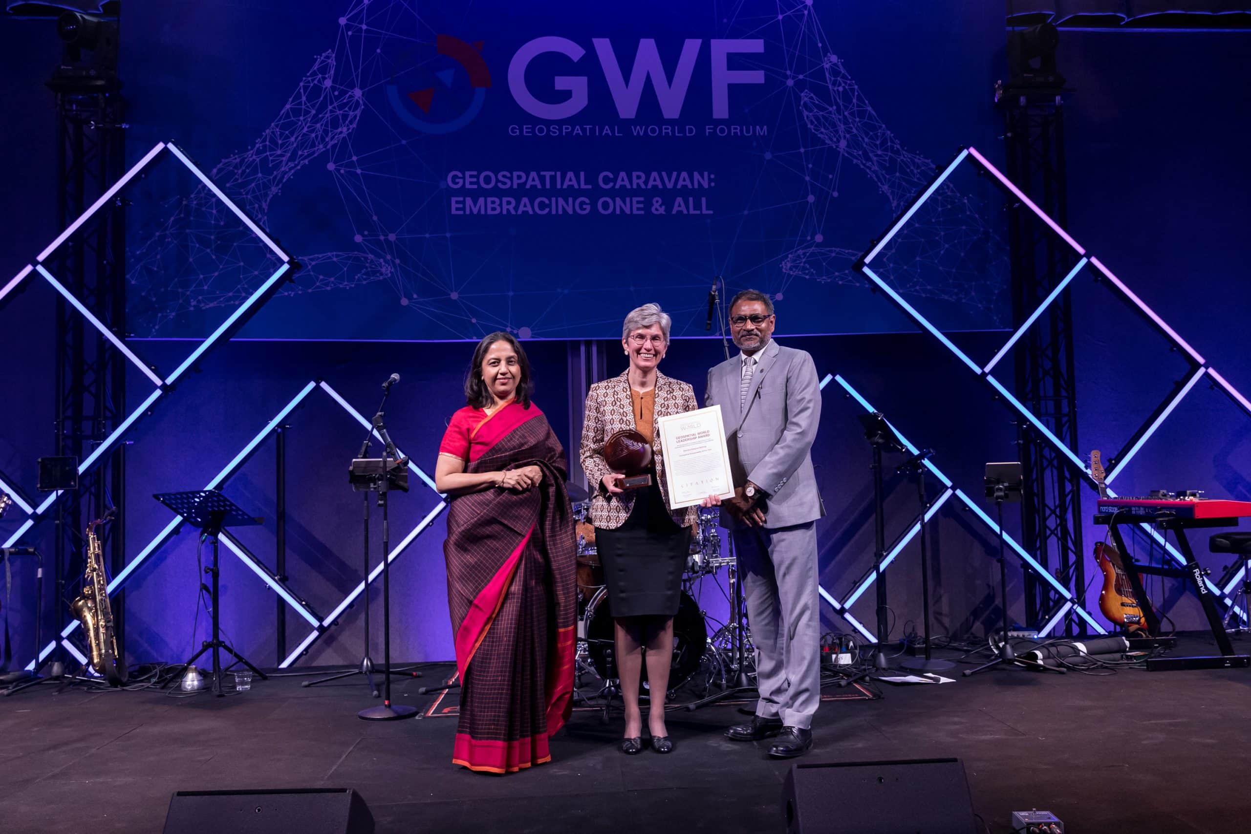
Geospatial World announced and presented its annual Geospatial Leadership Awards at Geospatial World Forum on May 3. These awards aim to acknowledge exceptional leadership, innovation, and transformation efforts made by individuals and organizations in the geospatial industry.

Reenat Sandhu, India’s Ambassador to the Netherlands, along side Sanjay Kumar, Founder & CEO, Geospatial World, presented the awards to the awardees at GWF 2023.

ALSO READ: Geospatial World Leadership Awards 2023 Announced in Rotterdam

Geospatial World extends heartiest congratulations to all the awardees. Find the gallery of all the awardees, receiving their awards, here:

Geospatial World Leadership Awards 2023 Announced in Rotterdam

0
Geospatial World Leadership Awards 2023 Announced in Rotterdam

Geospatial World Leadership Awards 2023 Announced at Geospatial World Forum

Geospatial World announced and presented its annual Geospatial Leadership Awards at Geospatial World Forum on May 3. These awards aim to acknowledge exceptional leadership, innovation, and transformation efforts made by individuals and organizations in the geospatial industry.

This year, the awards were drawn from open nominations and selected by a panel of jury comprising eminent industry stalwarts: Greg Scott, Inter-Regional Advisor, UN-GGIM (Chair); Lena Halounova, President, ISPRS; Nadine Alameh, CEO, Open Geospatial Consortium; Basanta Shrestha, Former Director of Strategic Cooperation, ICIMOD; and Derek Clarke, Former Chief Director, Department of Rural Development and Land Reform, South Africa.

The complete award list:

Lifetime Achievement Award – Hugo de Groof

GWF2023For over three decades, Hugo de Groof has made tremendous service and advocacy in various projects and programs where remote sensing data and other spatial information were used to support European Union policies. As the Policy Officer at the European Commission’s Directorate General for the Environment (DG ENV), his contribution to the EU Space Program is exemplary. Hugo has played a crucial role in developing and implementing INSPIRE, a framework that facilitates the sharing of geospatial information across Europe. He has led various initiatives promoting the use of geospatial information in environmental management, urban planning, and also interfacing with the wider EU’s digital economy policies such as the Digital Agenda and Digital Single Market.

Geospatial Ambassador of the Year – Deirdre Dalpiaz Bishop

GWF2023Deirdre Dalpiaz Bishop is making an outstanding contribution to the world and her profession. Through her geospatial work at the US Census Bureau, across the US government, and with the United Nations, Bishop is leading the way in educating a variety of national and international stakeholders about the benefits of standardizing and integrating geospatial and statistical data, the Integrated Geospatial Information Framework, and the Global Knowledge Infrastructure. Her leadership has improved data integration capabilities for many countries, even hers. This leads to more accessible and valuable data, improved policy planning, evidence-based decision making, more sophisticated identification of inequities in policy, infrastructure, and cost savings resulting in improved government services.

Geospatial DEI Champion of the Year – Mikko Tamura

GWF 2023
Geospatial DEI Champion of the Year – Mikko Tamura

Mikko Tamura is an OpenStreetMap champion. He advocates using open geospatial data and tools to advance the causes of marginalized Asian-Pacific communities. As one of the founders of Mapbeks, a community of LGBTQIA mappers in the Philippines, Tamura organized fundraising mapathons that helped break gender biases on the map and support gender minorities in their everyday lives. He is also leading the ‘She Leads, and She Inspires’ program that empowers women to take careers in GIS tech and funds them with their proposed community projects. His passion to break diversity and advance equity and inclusivity in the industry is truly inspiring.

National Geospatial Agency of the Year – Federal Agency for Cartography and Geodesy (BKG), Germany

GWF 2023Federal Agency for Cartography and Geodesy (BKG), Germany, is playing a crucial role in supporting Germany on its path to becoming a smart and sustainable country. In 2021, BKG launched the Digital Twin Germany project to support faster, more informed, and more reliable decision-making. The project entails data collection for the entire country consistently and in unprecedented detail using Geiger-mode LiDAR sensor technology. The data quality is further enhanced by adding satellite and real-time data facilitated by AI. The Hamburg metropolitan region pilot was completed at the end of 2021.

Enabling Public Policy – Department of Science and Technology, Government of India

After making waves with liberalization in the field of geospatial data in 2021, the Department of Science and Technology of the Government of India recently notified the National Geospatial Policy 2022. The government aims to promote the country’s geospatial data industry and develop a national framework to use data for improving citizen’s life. The policy aims to create a high-resolution topographical survey and mapping and a high-accuracy Digital Elevation Model (DEM) for the country by 2030. The policy will enhance capabilities, skills, and awareness to meet the country’s future needs. The government also aims to develop a Geospatial Knowledge Infrastructure (GKI) supported by the Integrated Data and Information Framework.

Geospatial Innovator of the Year – Maptionnaire

GWF2023Maptionnaire allows users (the general public) to easily create their map-based questionnaires and civic participation platforms on cloud-based software. It redefined citizen engagement as an ecosystem of data linked to locations, known as PPGIS (Public Participation GIS). In 2022, the company launched a Participatory Budgeting module powered by geospatial tools that engage residents in decision-making about allocating city budgets at scale. Maptionnaire takes pride in advancing civic tech by bringing spatiality to the center of decision-making and being the PPGIS tool of choice in the research milieu.

Startup Company of the Year – Xona Space Systems

Founded in 2019, Xona Space Systems believes that modern technology has the potential to benefit people from all walks of life. To enable this, Xona is working to provide resilient and accurate PNT services: satellite navigation for the age of autonomy. Xona challenges the assumption that the GNSS space segment is fixed and out of reach of commercial entities.

In May 2022, the company launched its first PULSAR demonstration satellite mission, becoming the first privately funded company to launch its satellite navigation mission. PULSAR system is a high-performance satellite navigation constellation in LEO designed to provide secure and resilient sub-10cm accuracy on a global scale.

Research, Science & Technology Institution of the Year – VITO Remote Sensing

GWF 2023In 1998 VITO was the first to make global vegetation maps based on SPOT-VEGETATION imagery. Almost 25 years later, VITO is the first to make global vegetation maps at 10m resolution integrating optical (Sentinel 2) and SAR data (Sentinel 1). The vegetation map ‘ESA WORLDCOVER’ is considered the best global land cover map available, proving this vibrant remote sensing institute’s passion, ambition, and skills. Next to the global satellite-based products, VITO is rapidly expanding its portfolio of drone-based products, providing very high-resolution products & services for agriculture, marine, infrastructure, and urban applications.

Development Organization of the Year – PVBLIC FOUNDATION

GWF2023Created in 2012, PVBLIC Foundation launched with a goal to use the power and reach of mass media to make positive change in people’s lives around the world. Today, PVBLIC is driven by the idea that media, data, and technology can catalyze social change. In 2021, the Foundation partnered with the W.K. Kellogg Foundation, Esri, and the United Nations Statistics Division (UNSD) Global Geospatial Information Management (UN-GGIM) Secretariat, to form the SDG Data Alliance. In collaboration with the UN Department of Global Communications, the Foundation created the SDG Media Zone to take the conversation on advancing the 2030 Agenda out of the policy sphere and into the public discourse.

Advancing Sustainability Award – Beneath The Waves

GWF 2023Founded in 2013 as a non-profit organization, Beneath The Waves is dedicated to promoting ocean health and using science and technology to catalyze ocean policy. Its work focuses on protecting threatened species, establishing protected areas, and creating nature-based solutions to climate change. Most recently, its Blue Carbon Project, in partnership with R-evolution, which involved mapping and monitoring of seagrass meadows in The Bahamas using sensor-tagged sharks, satellite data, marine vessel surveys, and LiDAR bathymetric sensor, was presented to the Government of The Bahamas, resulting in the announcement of a Blue Carbon Credit program in the country.

Empowering Community Award – Kadaster International

GWF2023Kadaster International has been working with Colombia institutions on its Land in Peace project to contribute to implementing the Peace Agreement in Colombia, focusing on Fit-for-Purpose land administration. By cooperating with Colombian-Dutch governmental institutions, academia, and the commercial sector to develop the needed technologies and train local communities, Kadaster has simplified land administration processes and empowered farmers and indigenous communities. The project has directly impacted the land administration at a local and national level. The Colombian National Land Agency has implemented the Fit-for-Purpose approach to update municipal cadastres in several regions.

Many grassroots surveyors have supported cadastral actualization activities in different parts of the country, and several indigenous youngsters were trained to support their community.